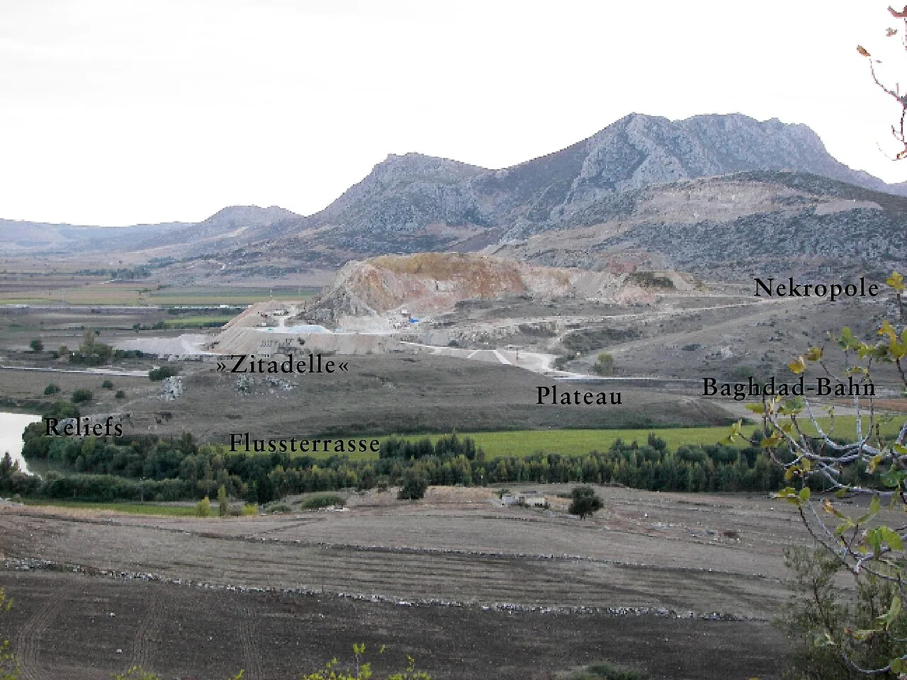
About Sirkeli Höyük
Sirkeli Höyük is one of the largest tells (settlement mounds) of Cilicia with an area of approximately 80 ha. It is 40 kilometers east of the city of Adana, northwest of the village Sirkeli in the district of Ceyhan, at the breakthrough of the Ceyhan through the Misis Mountains (Turkish: Nur Dağ).
This description is taken from Wikipedia and published under the CC BY-SA 4.0 licence. Sirkeli Höyük
Location and Access
Sirkeli Höyük is located in Ceyhan district, Adana. Coordinates are 37.00389, 35.74528. You can get directions from the map below. You can request a licensed local guide for Adana.
Places to Visit Near Sirkeli Höyük
 Historical Places
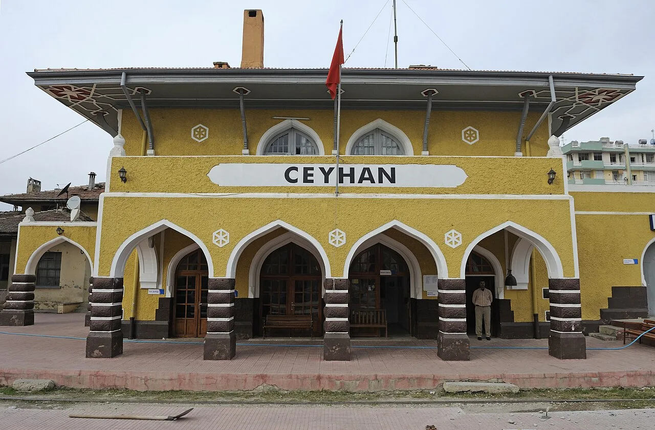
Ceyhan railway station
 Religious Sites
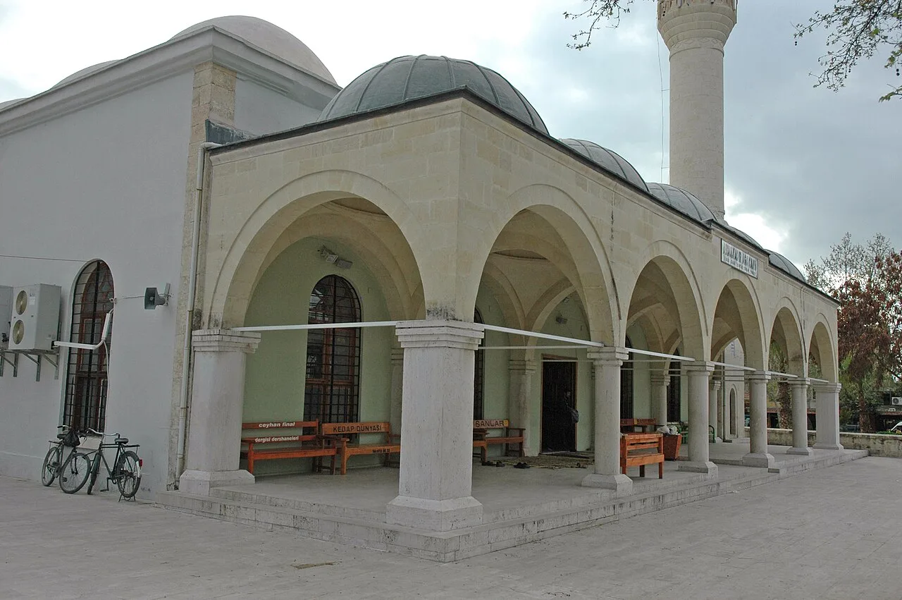
Abdülkadir Ağa Mosque
 Historical Places
İsili Höyük
 Religious Sites
Koyun Dede Tomb
 Religious Sites
Arqakaghni monastery
 Religious Sites
Eski Misis Camii
 Historical Places
 Historical Places
Misis Kenvansarayı
Historical Places in Adana
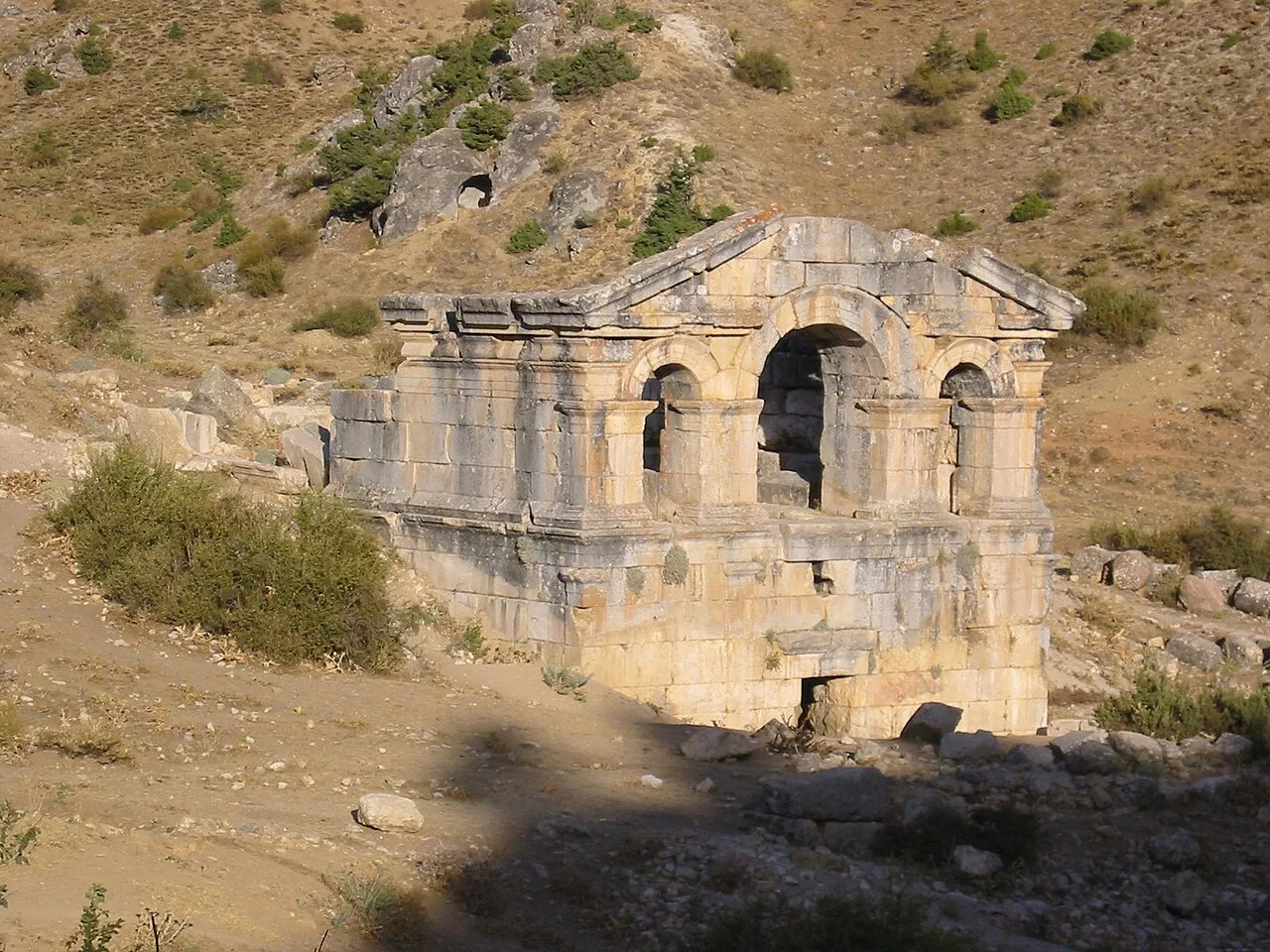 Historical Places
Comana
 Historical Places
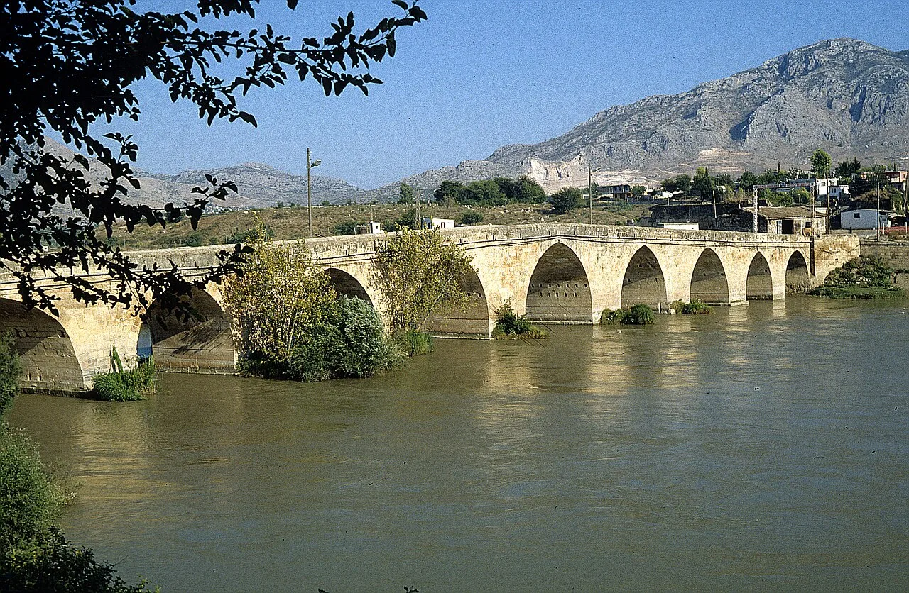 Historical Places
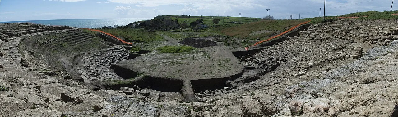 Historical Places
Magarsa
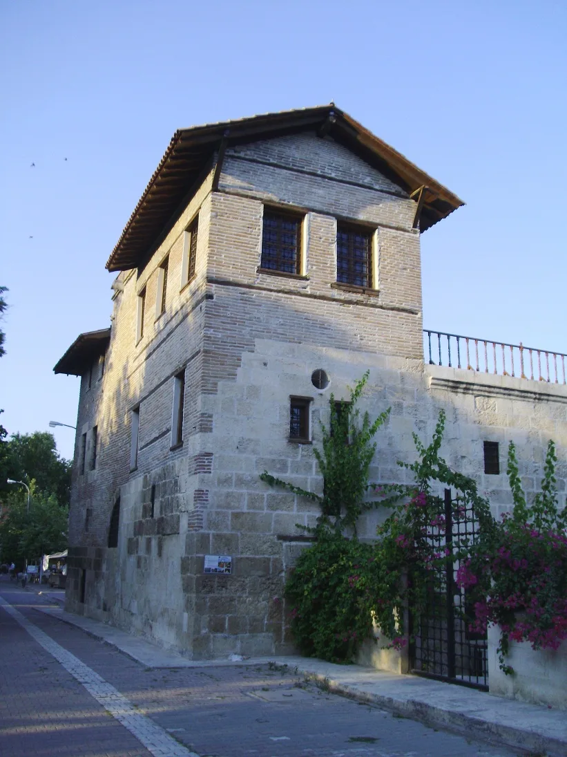 Historical Places
 Historical Places
Mallus
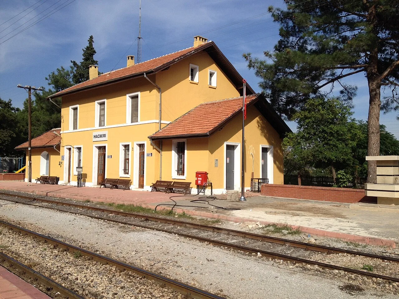 Historical Places
Hacıkırı railway station
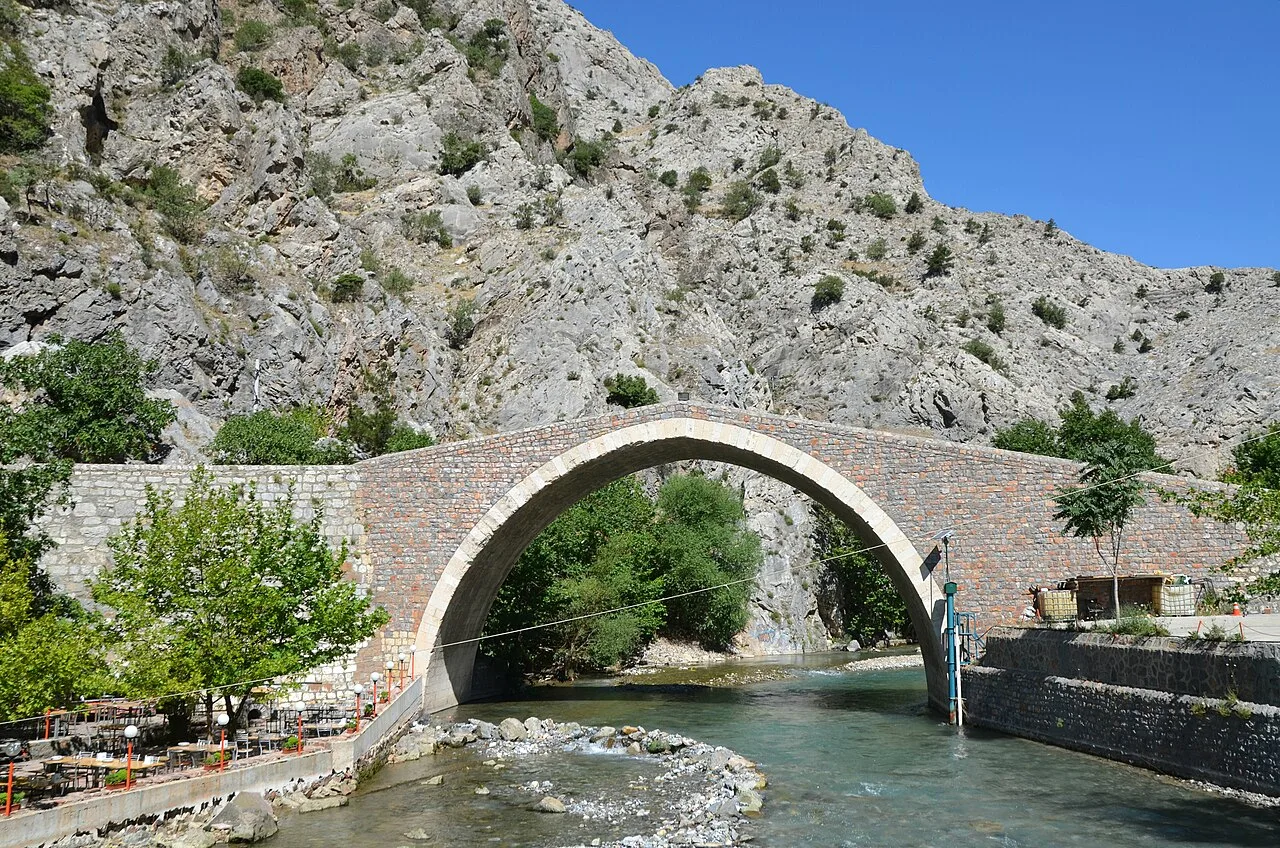 Historical Places
Şekerpınarı Bridge
Frequently Asked Questions
Quick Facts
- Province Adana
- District Ceyhan
- Category Historical Places
- Coordinates 37.00389, 35.74528
Request a Guided Tour
Visit Sirkeli Höyük with a licensed professional guide in Adana.
See guides in Adana