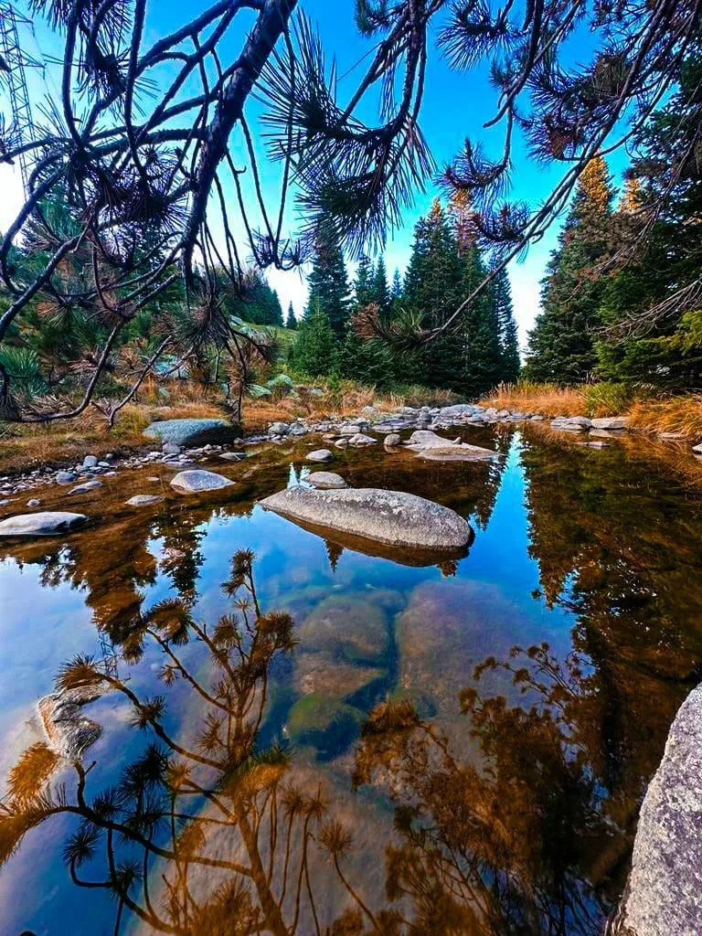
About Mount Uludağ
Uludağ (Turkish pronunciation: [ˈuɫudaː]), known historically as Mysian or Bithynian Olympus (Greek: Όλυμπος), is a mountain in Bursa Province, Turkey, with an elevation of 2,543 m (8,343 ft).
Mt. Uludağ is the highest mountain of the Marmara region. Its highest peak is Kartaltepe at 2,543 m (8,343 ft). To the north are high plateaus: Sarıalan, Kirazlıyayla, Kadıyayla, and Sobra.
In Turkish, Uludağ means "great mountain". In ancient times the range of which it is a part, extending along the southern edge of Bithynia, was known as Olympos in Greek and Olympus in Latin, the western extremity being known as the Mysian Olympus and the eastern as the Bithynian Olympus, and the city of Bursa was known as Prusa ad Olympum from its position near the mountain. Throughout the Middle Ages, it contained hermitages and monasteries: "The rise of this monastic centre in the 8th c. and its prestige up to the 11th are linked to the resistance of numerous monks to the policy of the iconoclast emperors and then to a latent opposition to the urban, Constantinopolitan monasticism of the Studites." One of the greatest monks of the Christian East, the wonder-working Byzantine monk Saint Joannicius the Great, lived as a hermit on this mountain.
There is an abandoned wolfram mine near the summit. The mine and the integrated plant, which were built in 1974 for US$60 million, were closed in 1989 due to high production costs.
The area is a popular center for winter sports such as skiing, and a national park of rich flora and fauna. Summer activities, such as trekking and camping, also are popular.
This description is taken from Wikipedia and published under the CC BY-SA 4.0 licence. Uludağ
Location and Access
Mount Uludağ is located in Osmangazi district, Bursa. Coordinates are 40.07053, 29.22201. You can get directions from the map below. You can request a licensed local guide for Bursa.
Places to Visit Near Mount Uludağ
 Historical Places
Gözede Hamamı
 Religious Sites
Cumalıkızık Mosque
 Historical Places
Cumalıkızık Mosque Fountain
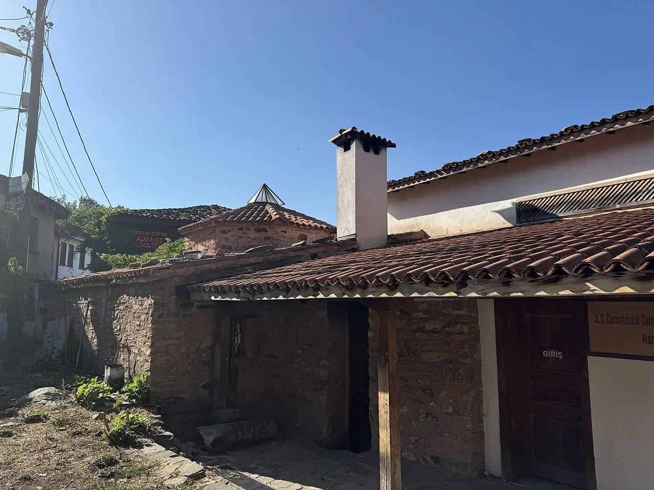 Historical Places
Cumalıkızık Baths
 Historical Places
Baba Sultan Hamamı
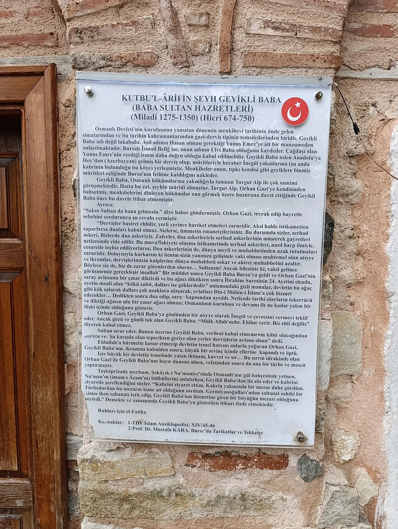 Historical Places
Geyikli Baba Baths
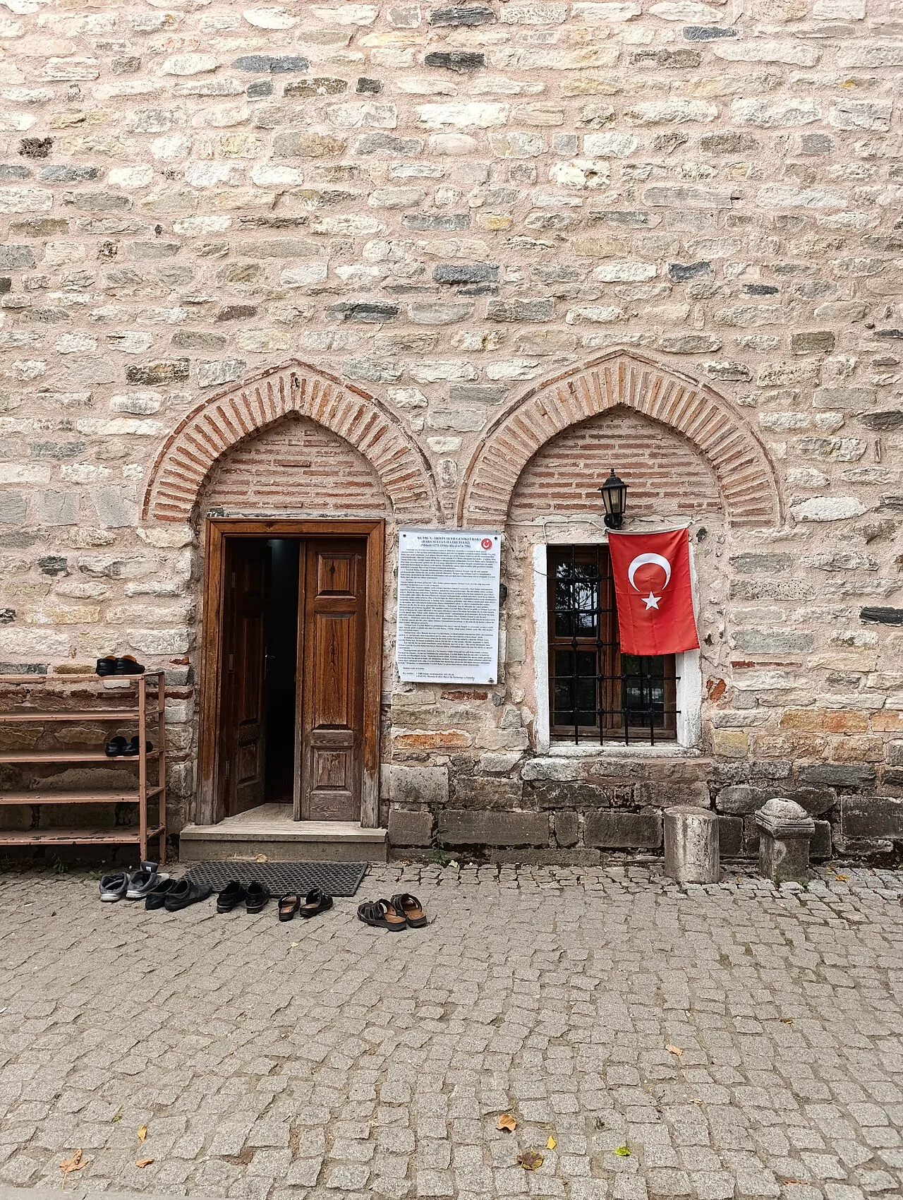 Religious Sites
Geyikli Baba Tomb
 Religious Sites
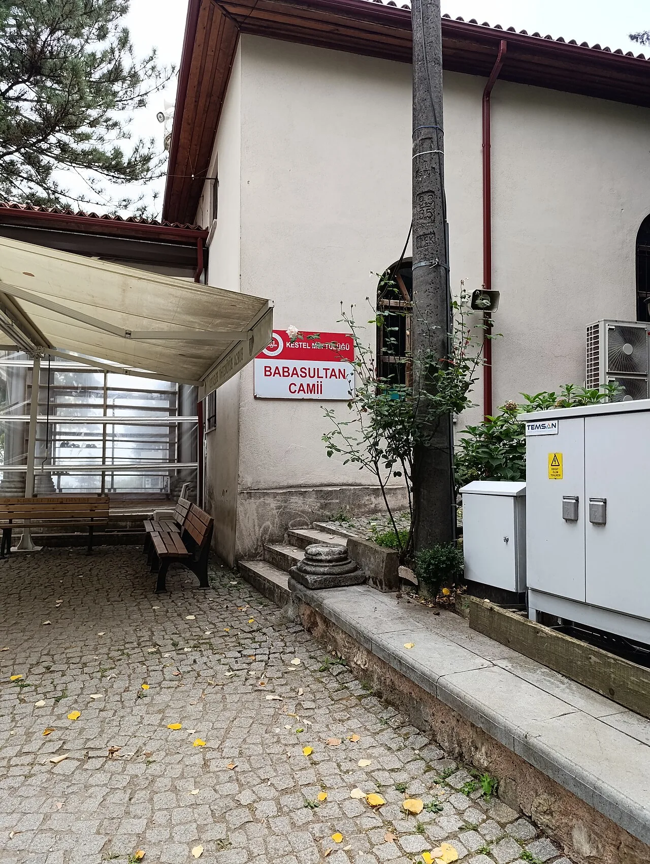
Geyikli Baba Mosque
Nature & Outdoors in Bursa
 Nature & Outdoors
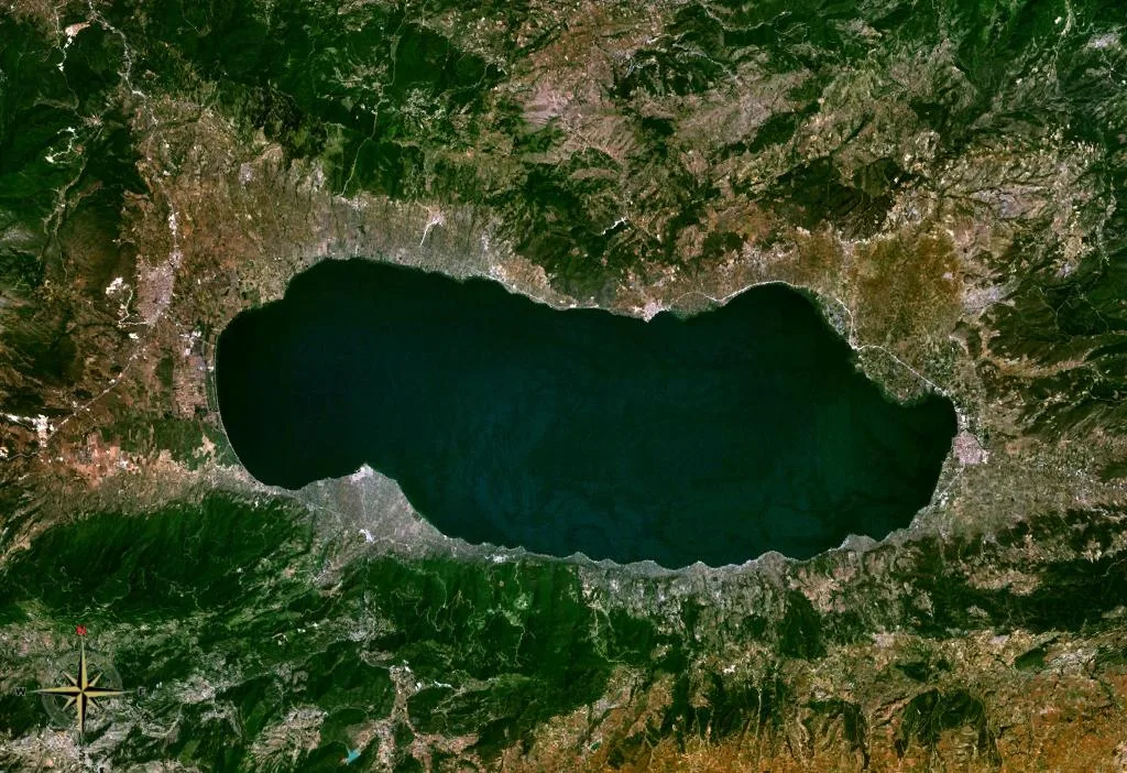
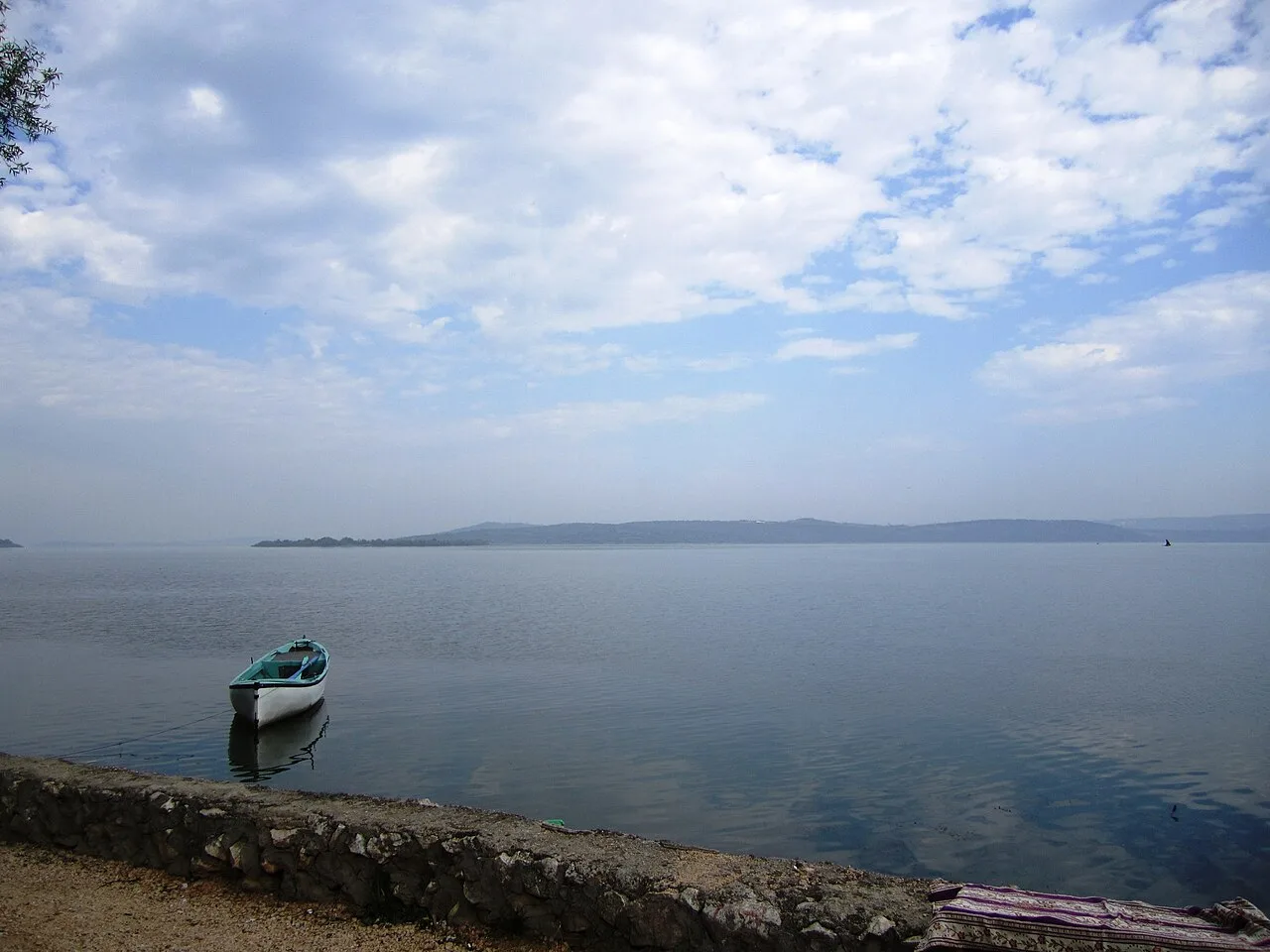
Lake İznik
 Nature & Outdoors
 Nature & Outdoors
Ayvaini Cave
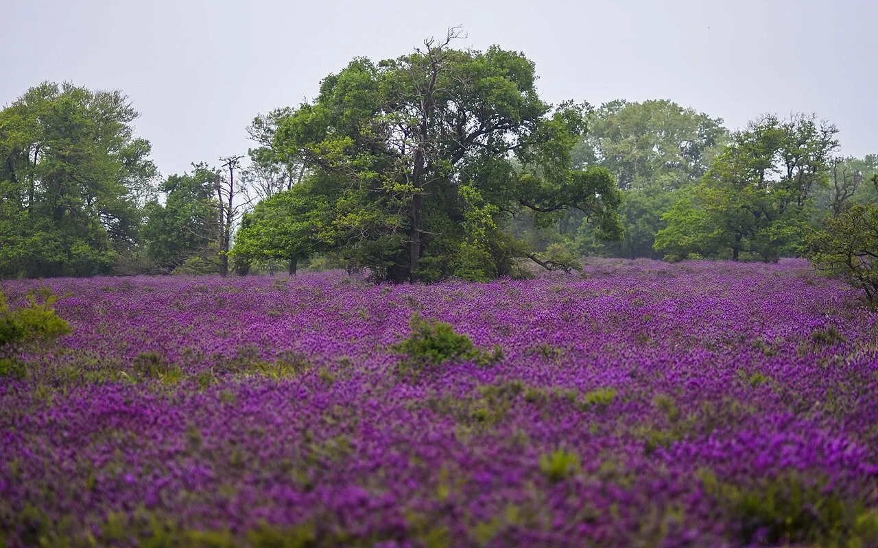 Nature & Outdoors
Karacabey Floodplain Forest
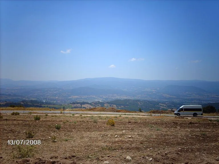 Nature & Outdoors
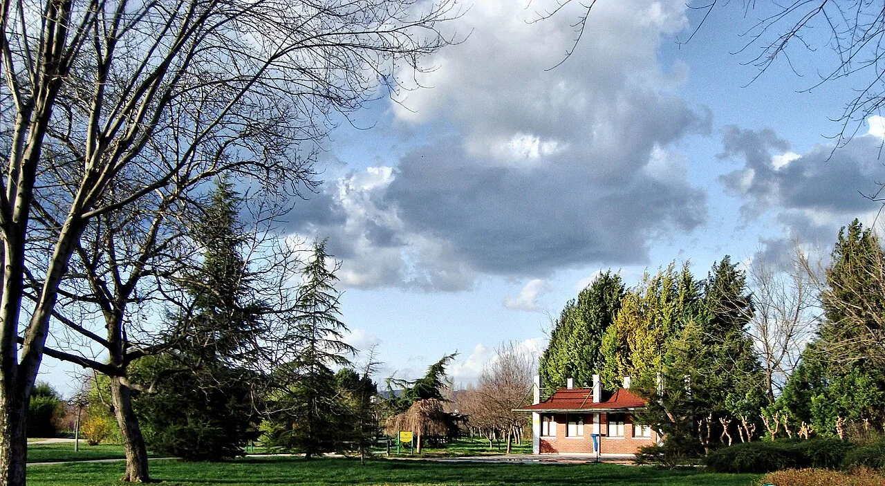 Nature & Outdoors
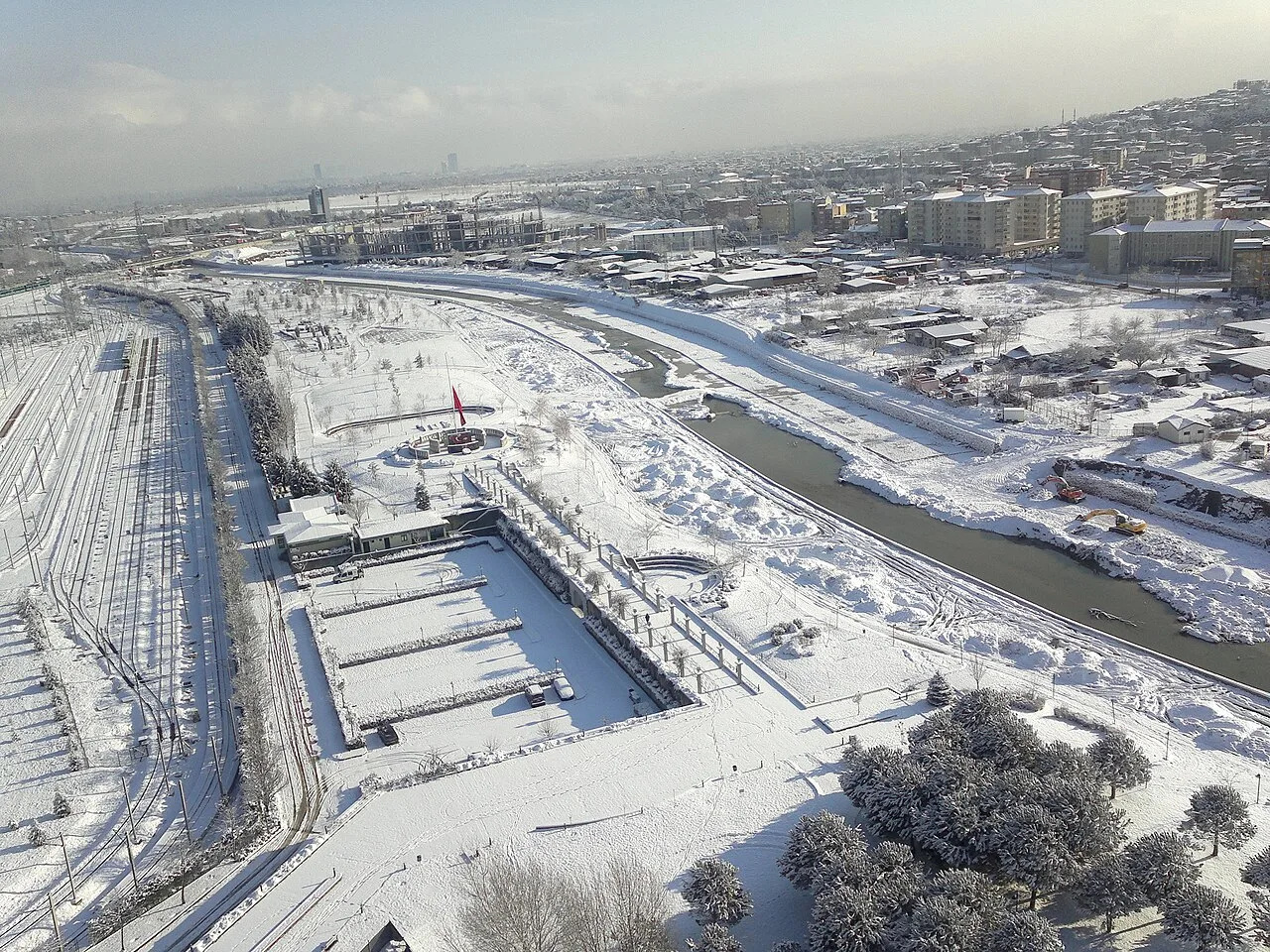 Nature & Outdoors
 Nature & Outdoors
Frequently Asked Questions
Quick Facts
- Province Bursa
- District Osmangazi
- Category Nature & Outdoors
- Period Doğal alan · millî park
- Opening hours Açık alan · teleferik saatleri geçerli
- Entrance Millî park girişi ve teleferik ücretlidir
- Visit duration Yarım gün – tam gün
- Best season Aralık–mart (kayak) · haziran–eylül (doğa)
- Coordinates 40.07053, 29.22201
Request a Guided Tour
Visit Mount Uludağ with a licensed professional guide in Bursa.
See guides in Bursa