About Argyria
Argyria (Ancient Greek: Ἀργυρία) was a town situated on the ancient Troad, on the right bank of the Aesepus River (modern Gönen Çay) near Scepsis. It was noted for its silver mines, from which the town derived its name (ἄργυρος is Greek for 'silver'). Strabo further describes its location as being at the foot of Mount Ida near the source of the Aesepus.
Its site is located near Karaidin Maden (Gümüş Maden) in Asiatic Turkey.
This description is taken from Wikipedia and published under the CC BY-SA 4.0 licence. Argyria (Troad)
Location and Access
Argyria is located in Çanakkale. Coordinates are 39.75018, 27.22233. You can get directions from the map below. You can request a licensed local guide for Çanakkale.
Places to Visit Near Argyria
 Nature & Outdoors
 Nature & Outdoors
 Historical Places
 Nature & Outdoors
 Historical Places
 Nature & Outdoors
 Nature & Outdoors
 Nature & Outdoors
Historical Places in Çanakkale
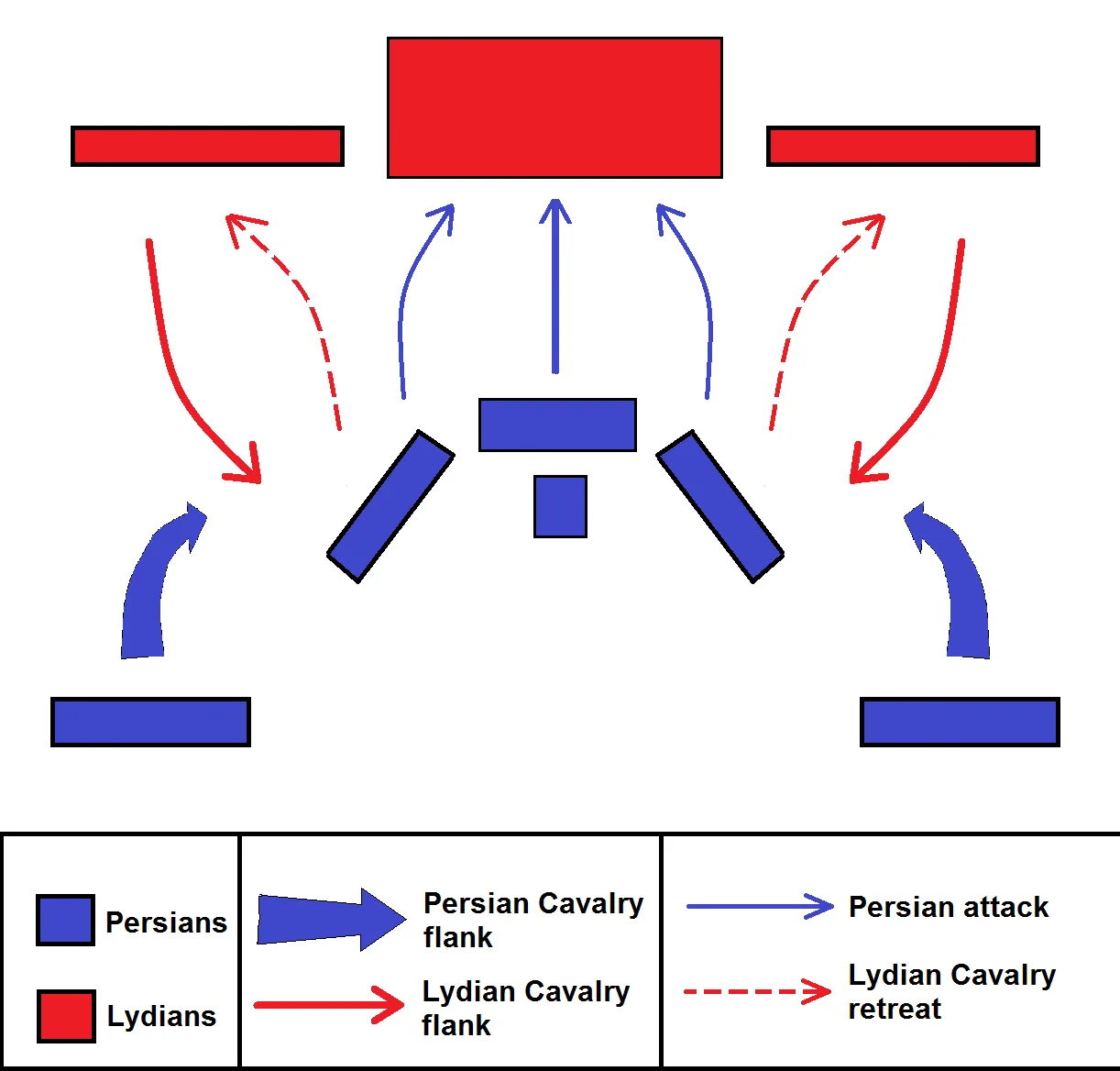 Historical Places
Thymbra
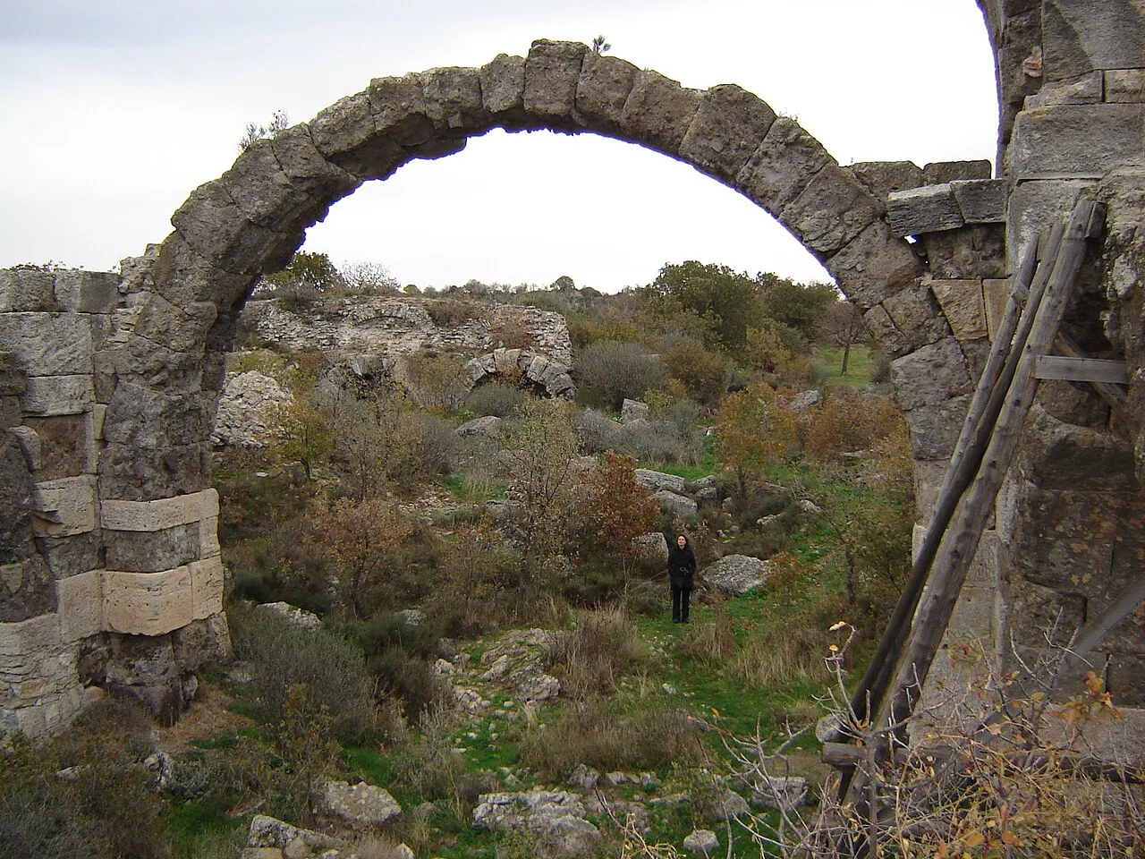 Historical Places
Alexandria Troas
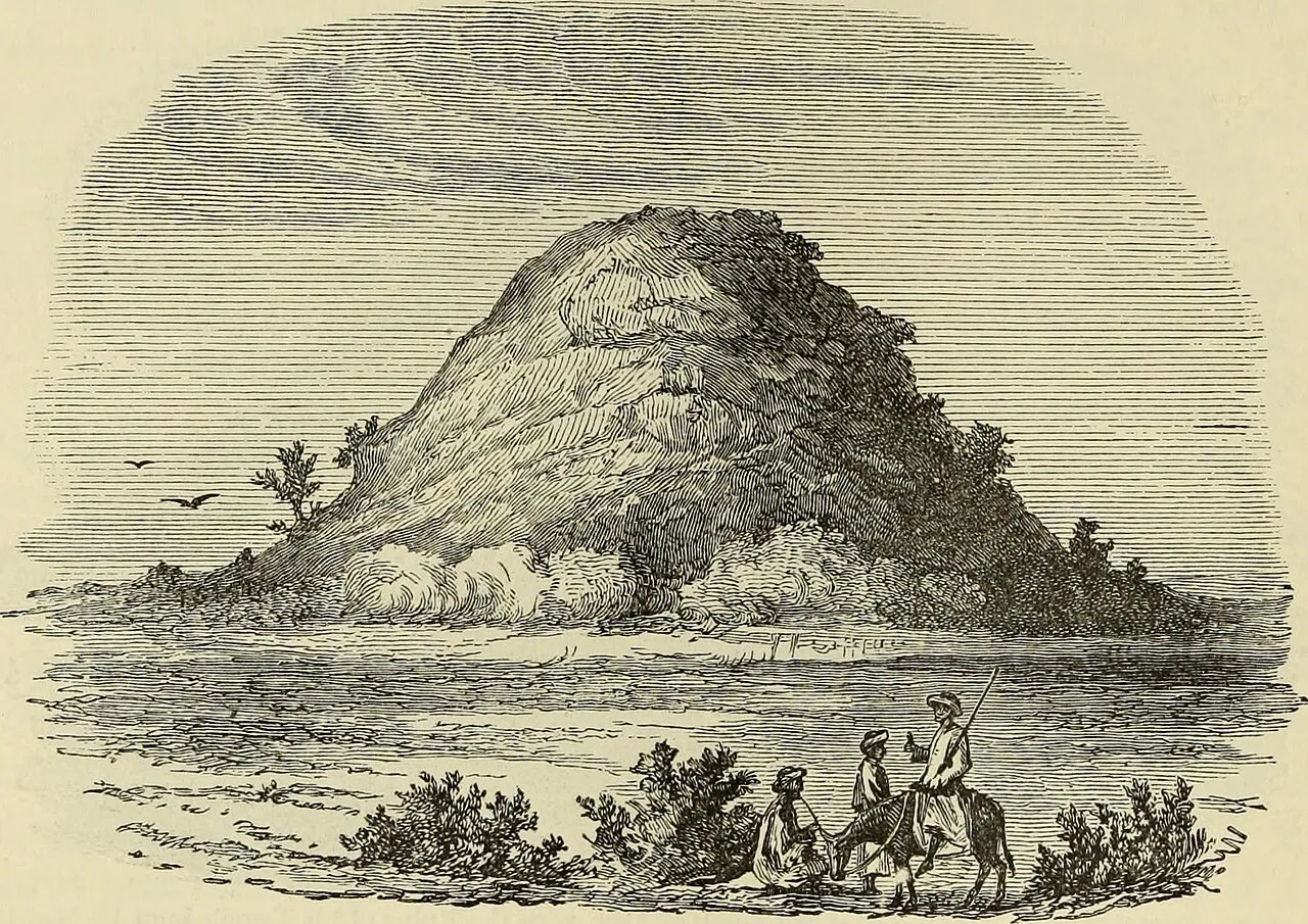 Historical Places
Achilleion
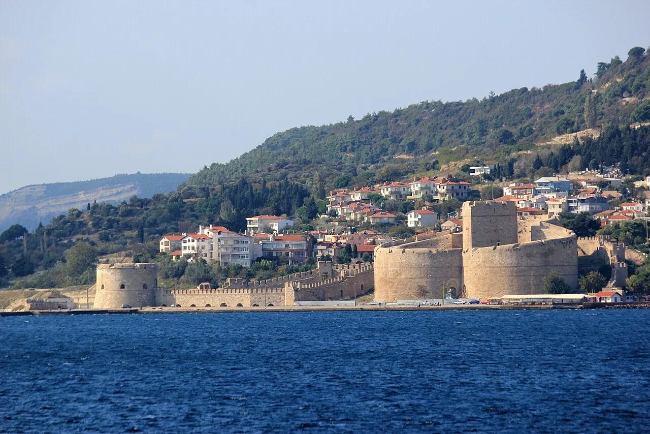 Historical Places
Kilitbahir Castle
 Historical Places
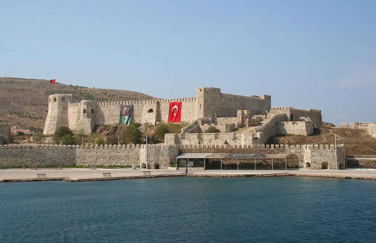
Bozcaada Castle
 Historical Places
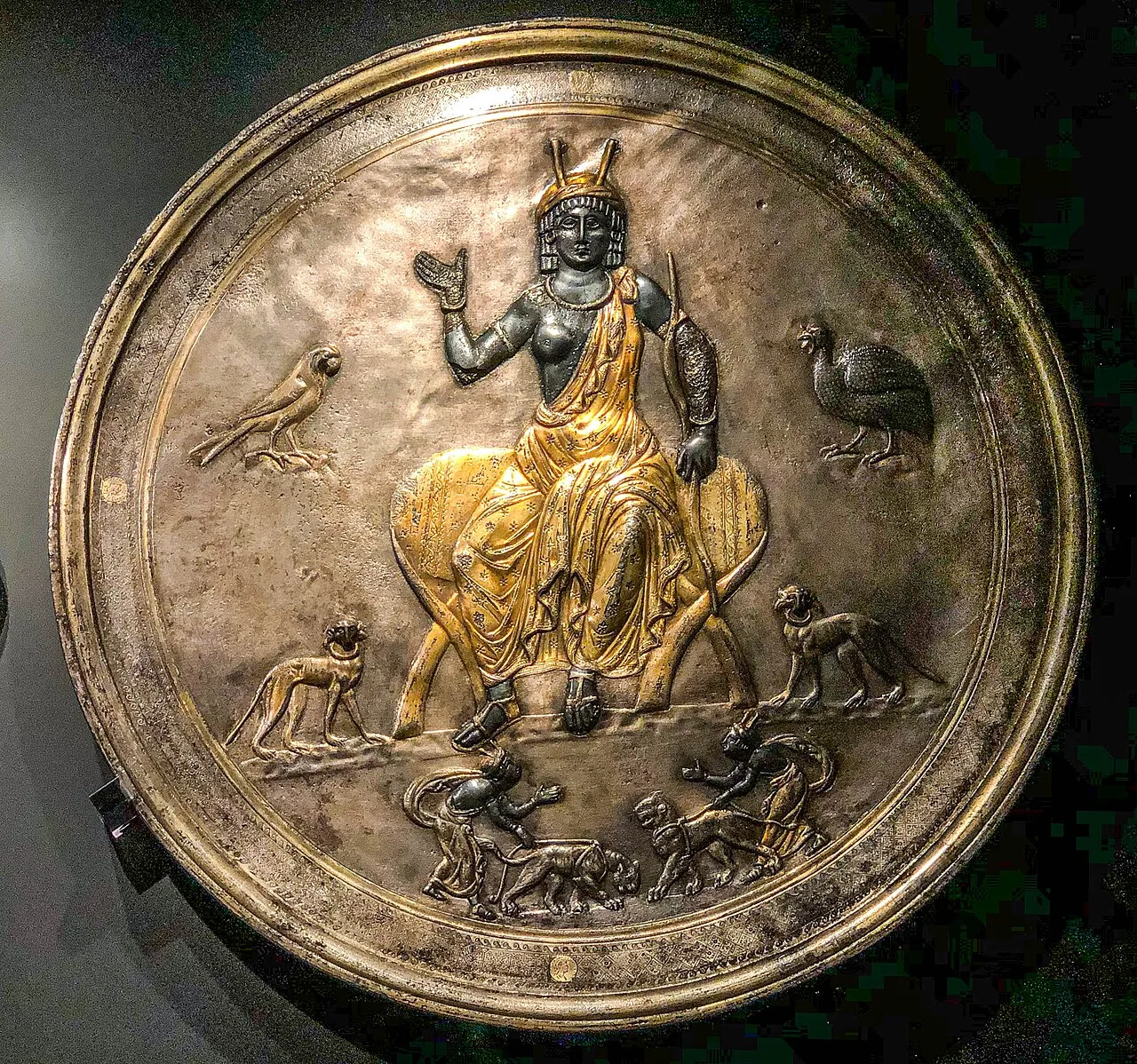
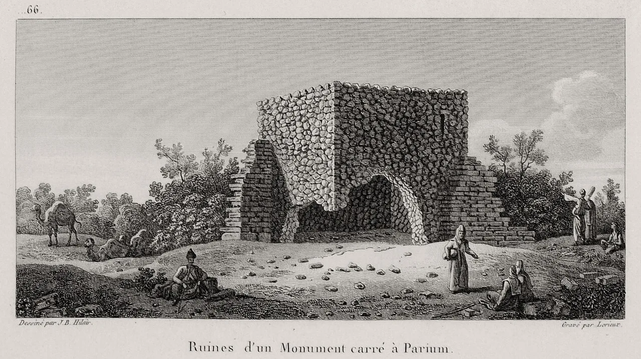
Lampsacus
 Historical Places
 Historical Places
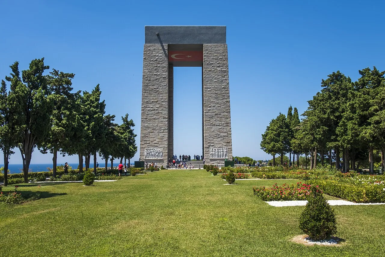
Çanakkale Martyrs Memorial
Frequently Asked Questions
Quick Facts
- Province Çanakkale
- Category Historical Places
- Coordinates 39.75018, 27.22233
Request a Guided Tour
Visit Argyria with a licensed professional guide in Çanakkale.
See guides in Çanakkale