
About Rhoiteion
Rhoiteion (Ancient Greek: Ῥοίτειον, romanized: Rhoiteion, Latin: Rhoeteum) was an ancient Greek city in the northern Troad region of Anatolia, also known as Ῥοίτιον ἄκρον.
Its territory was bounded to the south and west by the Simoeis river and to the east by Ophryneion. It was located on the Baba Kale spur of Çakal Tepe north of Halileli and west of İntepe (previously known as Erenköy) in Çanakkale Province, Turkey.
According to the Greek geographer Strabo of the Augustan era, Rhoiteion was founded by Astypalaians at some point following the fall of Troy. A scholion on the text of Apollonius of Rhodes explained the origin of the name as referring to Rhoiteia, daughter of Proteus, but scholars consider this etymology to be spurious. Surface surveys conducted in 1959 and 1968 suggest that the site was occupied by Greeks from at least the late 8th century BC.
The earliest source to mention Rhoiteion is the 5th century BC historian Herodotus who mentions it as one of the cities Xerxes marches past with the Persian army on his way to Greece in 480 BC. At a similar period to when Herodotus was writing, the Mytilenaean logographer Hellanicus referred to Rhoiteion...
This description is taken from Wikipedia and published under the CC BY-SA 4.0 licence. Rhoiteion
Location and Access
Rhoiteion is located in Çanakkale. Coordinates are 40.00954, 26.30481. You can get directions from the map below. You can request a licensed local guide for Çanakkale.
Places to Visit Near Rhoiteion
 Historical Places
 Historical Places
 Historical Places
 Historical Places
 Historical Places
 Historical Places
 Religious Sites
 Religious Sites
Historical Places in Çanakkale
 Historical Places
Thymbra
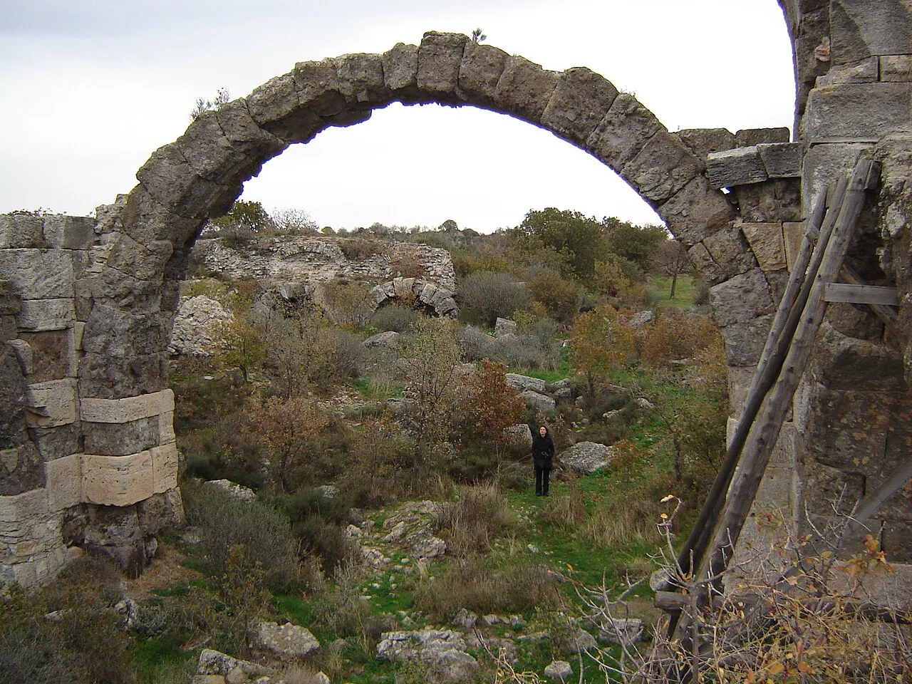 Historical Places
Alexandria Troas
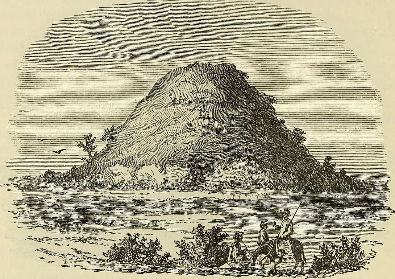 Historical Places
Achilleion
 Historical Places
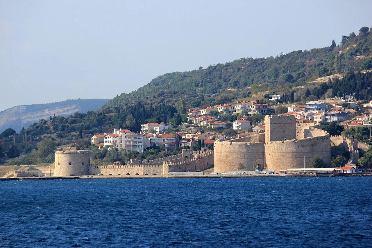
Kilitbahir Castle
 Historical Places
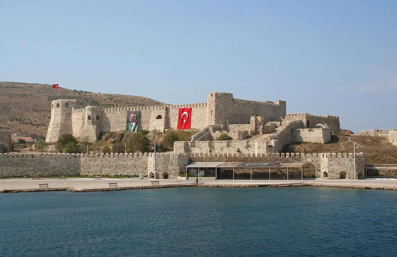
Bozcaada Castle
 Historical Places
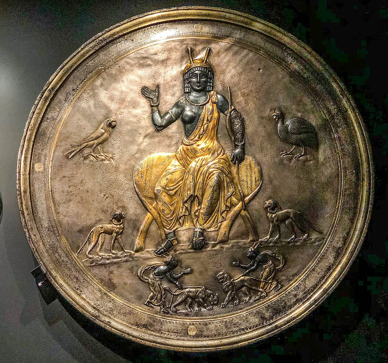
Lampsacus
 Historical Places
 Historical Places
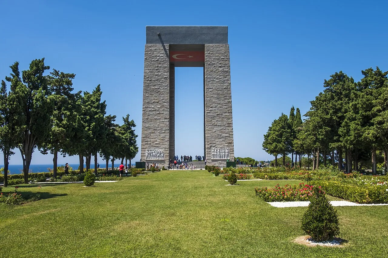
Çanakkale Martyrs Memorial
Frequently Asked Questions
Quick Facts
- Province Çanakkale
- Category Historical Places
- Coordinates 40.00954, 26.30481
Request a Guided Tour
Visit Rhoiteion with a licensed professional guide in Çanakkale.
See guides in Çanakkale