About Altıntepe
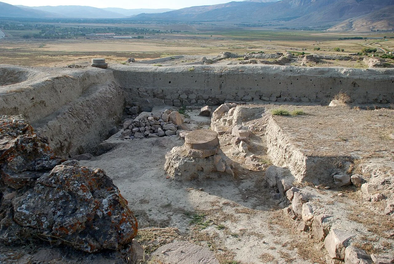
Altıntepe (Turkish for "golden hill") or Yerez (Armenian: Երեզ) is an Urartian fortress and temple archaeological site dating from the 9th to 7th century BCE. It is located on a small hill overlooking the Euphrates River in the Üzümlü district of Erzincan Province, Turkey.
Altıntepe is located at the 12th kilometre on the highway from Erzincan to Erzurum. The site was discovered in 1938 during the construction of a nearby railway line. The remains are situated on a volcanic hill 60 m high. During excavations undertaken between 1959 and 1968 and led by Professor Dr. Tahsin Özgüç, a fortified settlement from the Urartian period was found. In the excavated area a temple or palace, a great hall, a warehouse, city walls, various rooms, and three subterranean chamber tombs on the south side of the hill were found. After a long gap, excavations were restarted in 2003 by the decision of the Council of Ministers, under the leadership of Professor Dr. Mehmet Karaosmanoğlu.
The hill was a significant center for the Byzantine Empire and has a church with three naves and mosaic floors. The church was built on a natural terrace and has a rectangular floor plan. The colorful mosaic floors with various geometric shapes and figures of plants and animals are unique to the region.
This description is taken from Wikipedia and published under the CC BY-SA 4.0 licence. Altıntepe
Location and Access
Altıntepe is located in Erzincan. Coordinates are 39.69654, 39.64663. You can get directions from the map below. You can request a licensed local guide for Erzincan.
Places to Visit Near Altıntepe
 Nature & Outdoors
 Religious Sites
Hacı Abdülbaki Camii
 Religious Sites
Bayırbağ Köyü Camii
 Historical Places
Gazi Çeşmesi
 Religious Sites
 Religious Sites
Surp Nigoğayos Manastırı
 Religious Sites
 Religious Sites
Historical Places in Erzincan
 Historical Places
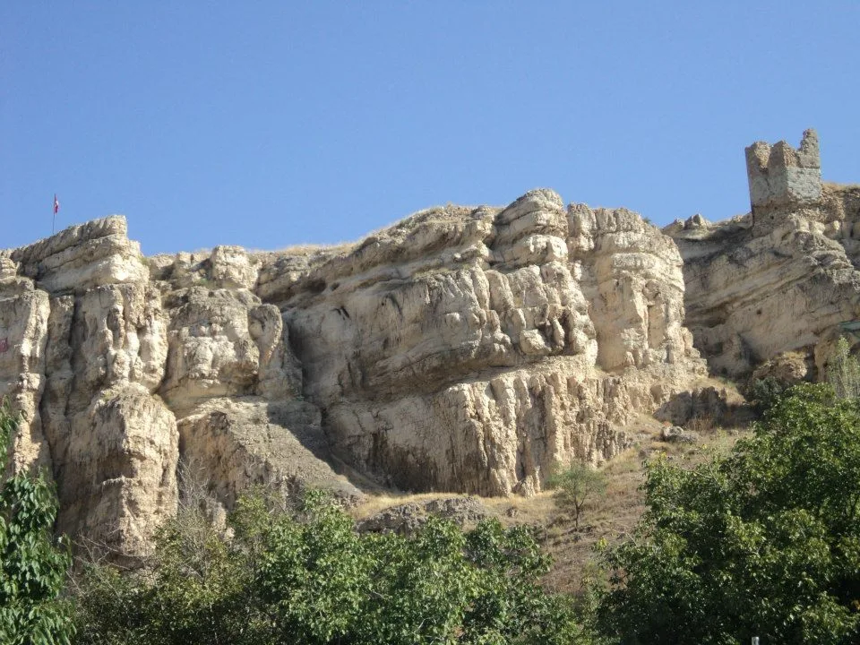
Kemah Castle
 Historical Places
 Historical Places
Kemah Train Station
 Historical Places
 Historical Places
 Historical Places
Mama Hatun Baths
 Historical Places
Şırzı Bridge
 Historical Places
Şırzı Castle
Frequently Asked Questions
Quick Facts
- Province Erzincan
- Category Historical Places
- Coordinates 39.69654, 39.64663
Request a Guided Tour
Visit Altıntepe with a licensed professional guide in Erzincan.
See guides in Erzincan