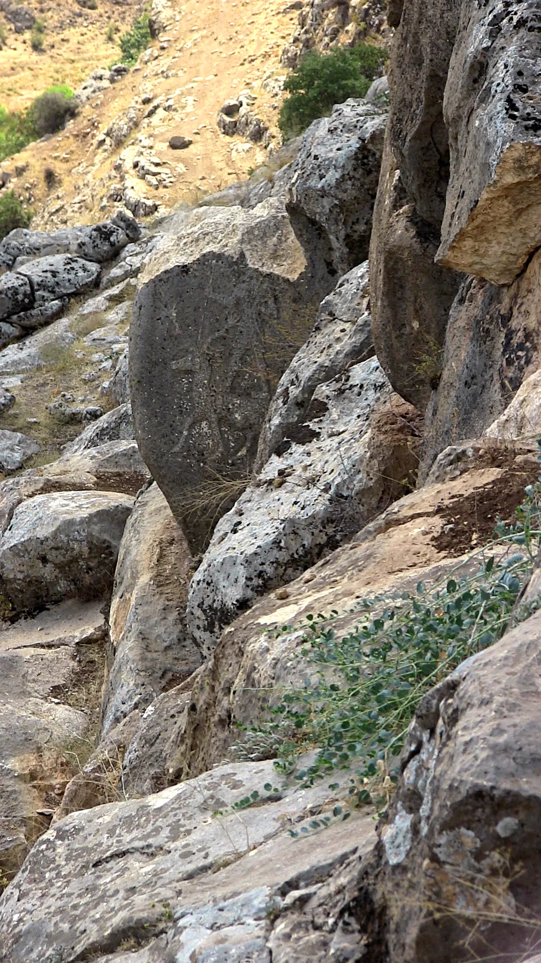
About Karasu relief
The Karasu relief, also known as the Süpürgüç relief after the earlier name of the nearby town of Akbudak, is a rock relief located on a tributary of the Euphrates and derives from the Neo-Hittite period. It depicts a protective god standing on a deer. Rock reliefs are a prominent aspect of Hittite art.
The relief is located near the town of Gümüşpınar near Akbudak in the district of Araban, Gaziantep Province, Turkey, on a cliff-face about 200 m above the Karasu river, about three km from where it meets the Euphrates. Here the river has dug a deep gorge in the limestone of the Kartal Dağı. A few metres below the top of the cliff is the relief on the east side of a rectangular outcrop. In the early first millennium BC the border between the Iron Age kingdoms of Kummuh (later Commagene) and Carchemish was located in the area. From the inscription on the late Assyrian relief at Kenk Boğazı, ten kilometres away, it appears that both reliefs were located within the kingdom of Kummuh.
The relief was discovered by geologists Krummanacher and Wilson in 1956 and first published by Charles A. Burney and Gordon R. J. Lawson in 1958.
This description is taken from Wikipedia and published under the CC BY-SA 4.0 licence. Karasu relief
Location and Access
Karasu relief is located in Araban district, Gaziantep. Coordinates are 37.43083, 37.90847. You can get directions from the map below. You can request a licensed local guide for Gaziantep.
Places to Visit Near Karasu relief
 Historical Places
Araban Bridge
 Nature & Outdoors
 Nature & Outdoors
 Religious Sites
Barşavma Manastırı
 Historical Places
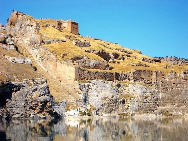
Rumkale
 Historical Places
Araban Castle
 Nature & Outdoors
 Nature & Outdoors
Historical Places in Gaziantep
 Historical Places
Zeugma
 Historical Places
Turbessel
 Historical Places
Karkemish
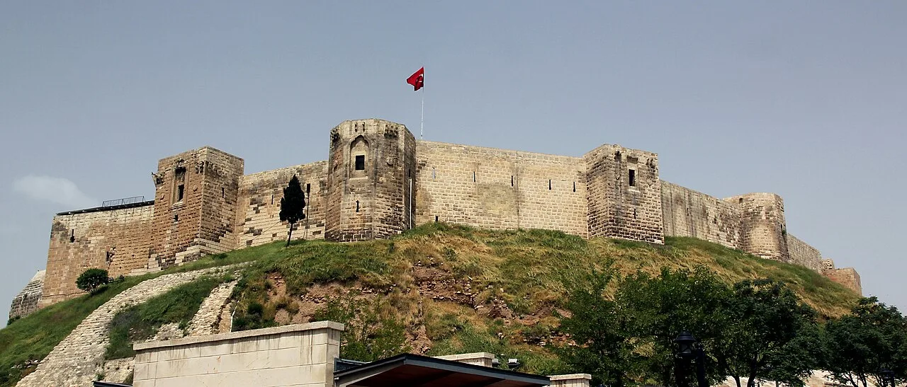 Historical Places
Gaziantep Castle
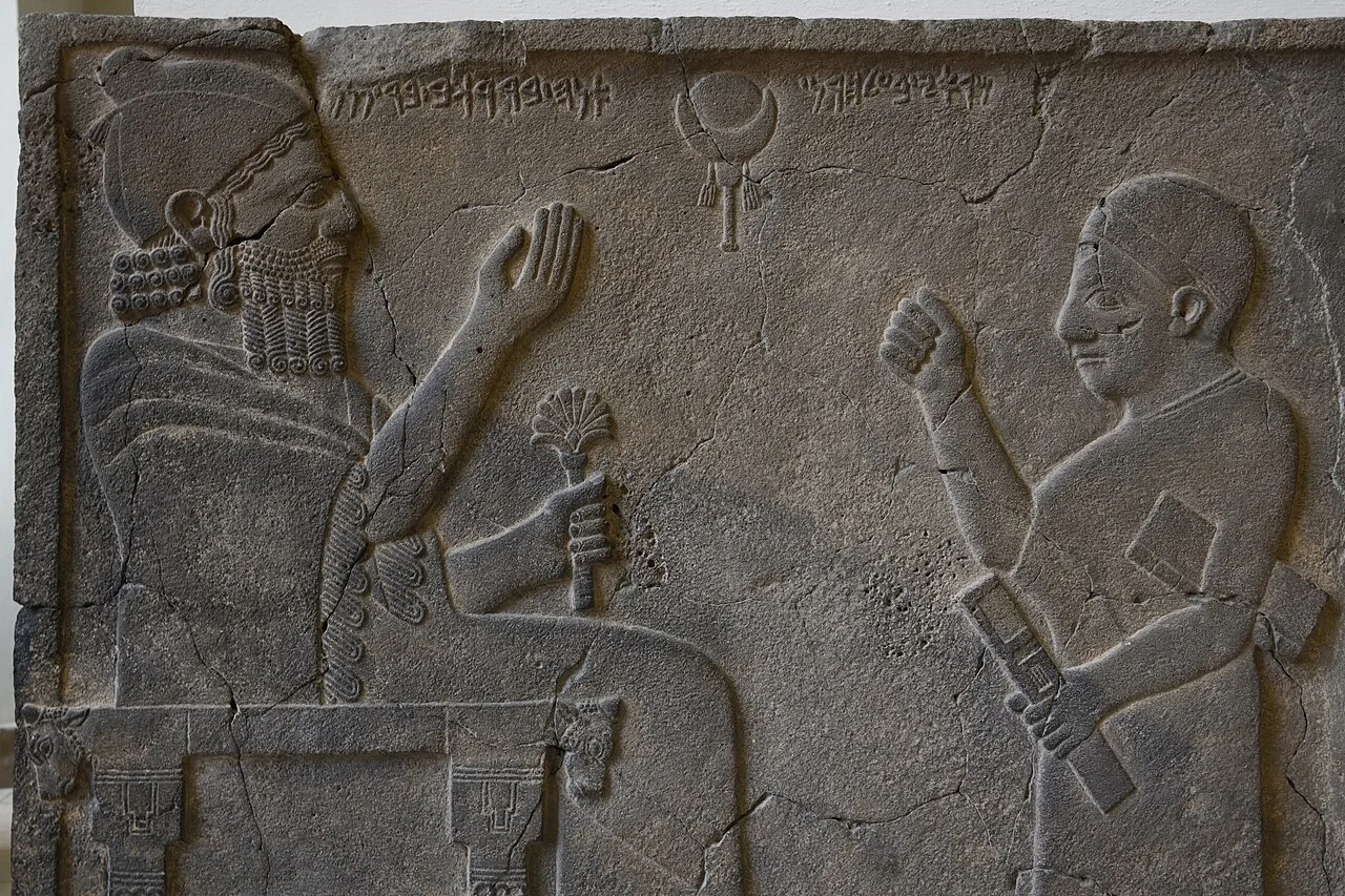 Historical Places
Zincirli Höyük
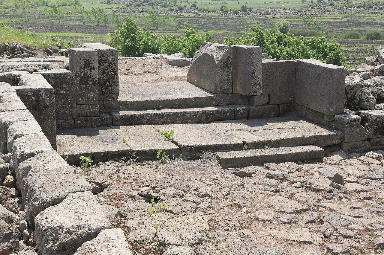 Historical Places
Tilmen Höyük
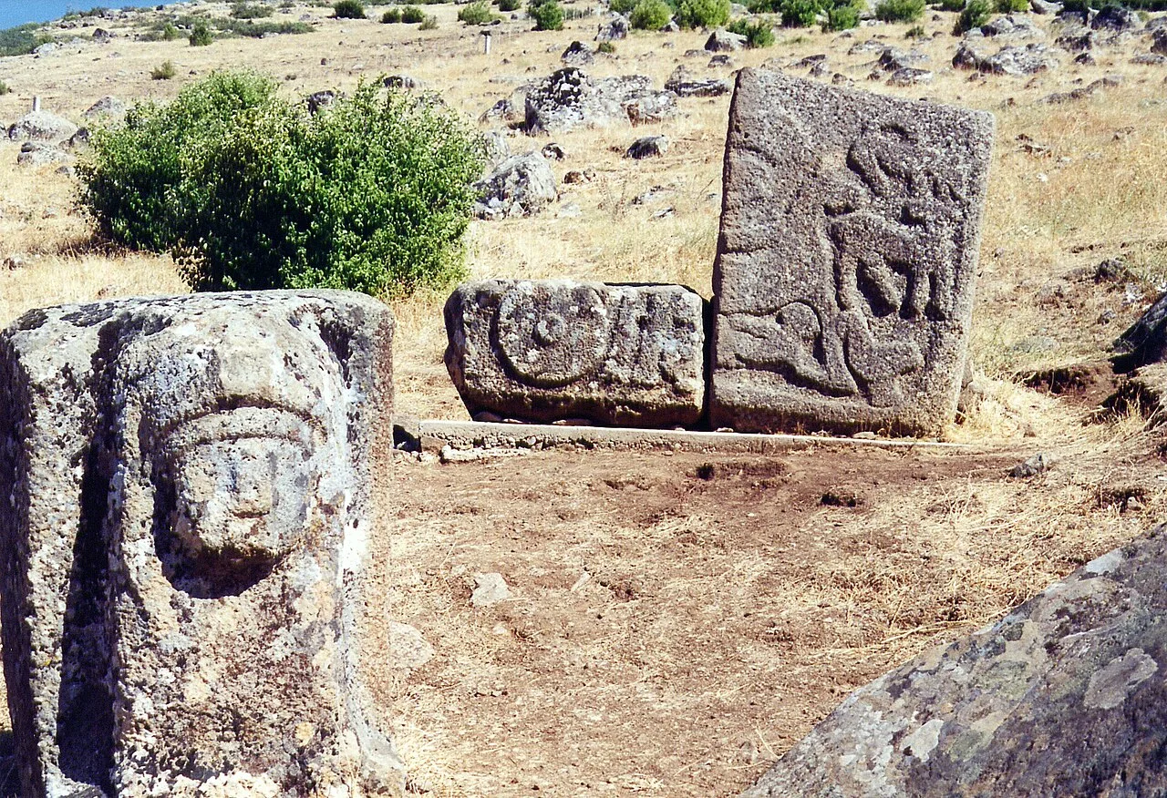 Historical Places
Yesemek Quarry and Sculpture Workshop
 Historical Places
Doliche
Frequently Asked Questions
Quick Facts
- Province Gaziantep
- District Araban
- Category Historical Places
- Period MÖ 1050
- Coordinates 37.43083, 37.90847
Request a Guided Tour
Visit Karasu relief with a licensed professional guide in Gaziantep.
See guides in Gaziantep