
About Tell Khalid
Tilhalit, also spelled Tell Khalid (Latin: Trialeth) and officially recognized as Asmacık, is a neighbourhood in the municipality and district of Oğuzeli, Gaziantep Province, Turkey. Its population is 195 (2022). It was a fortress during the 12th century, contested at times by the Crusaders, Zengids and Ayyubids.
The village is inhabited by Abdals of the Kurular tribe.
On 29 November 1114, an earthquake devastated Tell Khalid, along with numerous other places across the region of Aleppo. It was also damaged in the 1138 Aleppo earthquake.
In the autumn or winter of 1150, the village was captured by the Zengid ruler Nur ad-Din from the County of Edessa, a Crusader state, which was entirely conquered by the Zengids and other Muslim powers by July 1151. On 17 May 1183, Saladin, a former emir of Nur ad-Din, turned Ayyubid sultan, captured Tell Bashir as part of his general movement to capture Aleppo, which he besieged four days later, from the Zengids. Saladin's brother, Buri, had already been besieging Tell Khalid, but its town and fortress surrendered without fighting upon Saladin's arrival there. It was thereafter bestowed to Badr ad-Din Dildirim al-Yaruqi, the Turkmen...
This description is taken from Wikipedia and published under the CC BY-SA 4.0 licence. Tilhalit
Location and Access
Tell Khalid is located in Oğuzeli district, Gaziantep. Coordinates are 36.76750, 37.63861. You can get directions from the map below. You can request a licensed local guide for Gaziantep.
Places to Visit Near Tell Khalid
 Historical Places
Tilhalit Höyük
 Historical Places
Yona Höyük
 Historical Places
Dibecik Höyük
 Historical Places
Akçamezra Höyük
 Historical Places
Doğanpınar Höyük
 Historical Places
Deve Höyük
 Historical Places
Karahasan Höyüğü
 Historical Places
Düzbayır Höyüğü
Historical Places in Gaziantep
 Historical Places
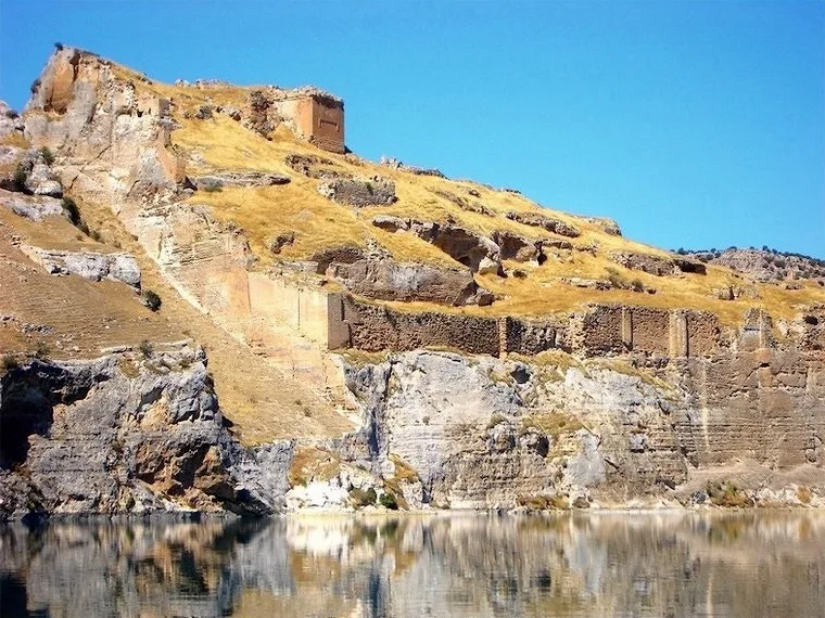
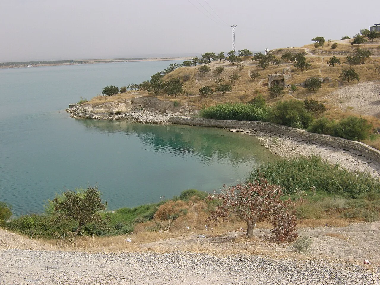
Rumkale
 Historical Places
Zeugma
 Historical Places
Turbessel
 Historical Places
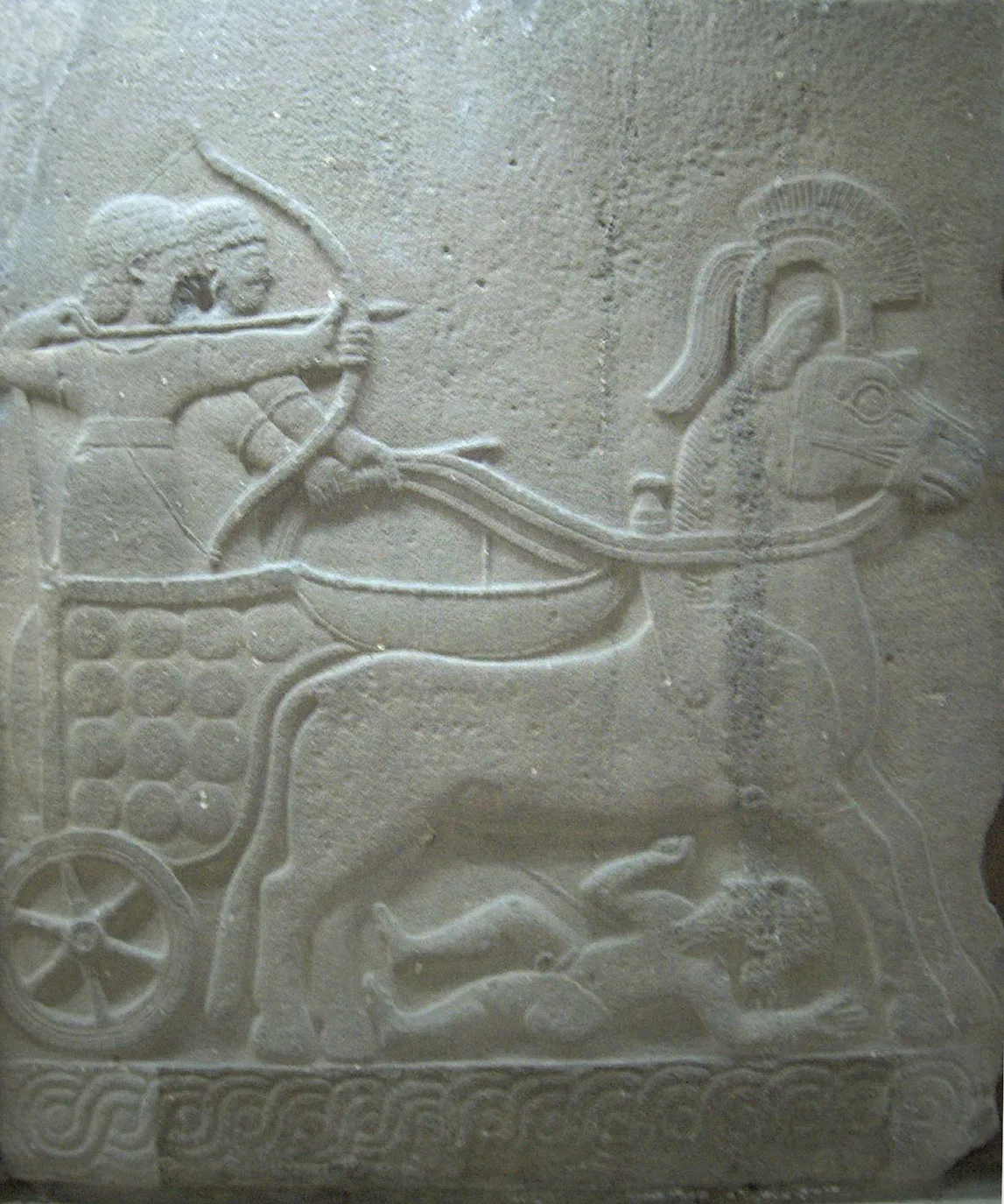
Karkemish
 Historical Places
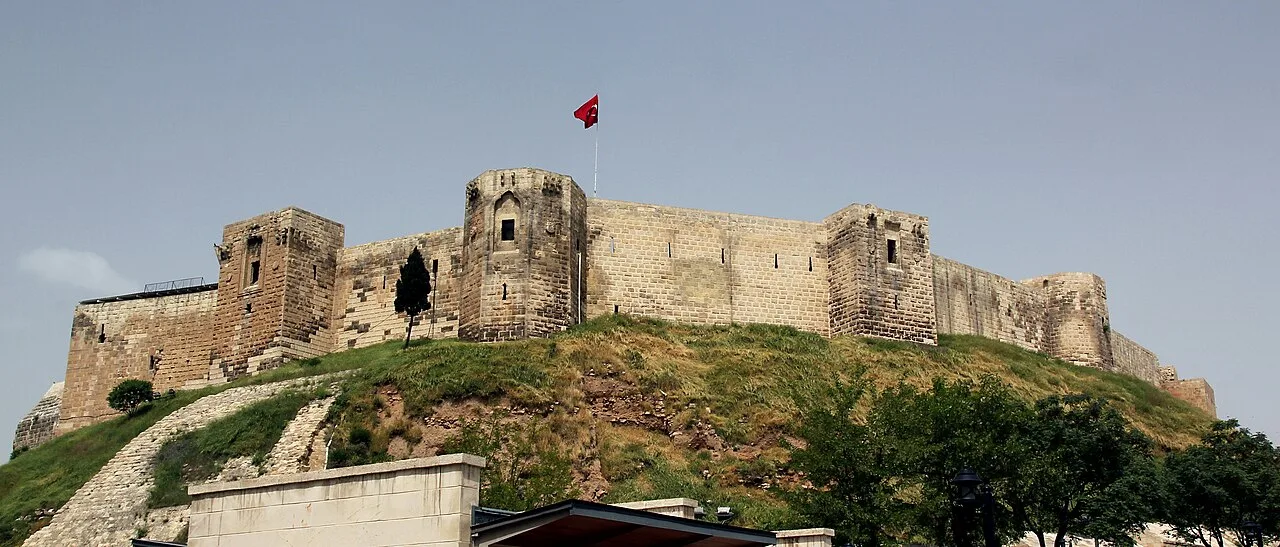
Gaziantep Castle
 Historical Places
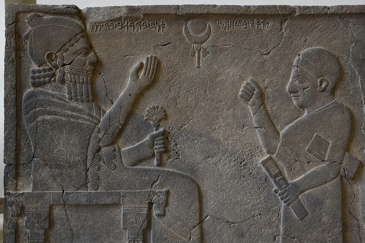
Zincirli Höyük
 Historical Places
Tilmen Höyük
 Historical Places
Yesemek Quarry and Sculpture Workshop
Frequently Asked Questions
Quick Facts
- Province Gaziantep
- District Oğuzeli
- Category Historical Places
- Coordinates 36.76750, 37.63861
Request a Guided Tour
Visit Tell Khalid with a licensed professional guide in Gaziantep.
See guides in Gaziantep