
Location and Access
Tapu ve Kadastro Binası is located in Fatih district, İstanbul. Coordinates are 41.00652, 28.97541. You can get directions from the map below. You can request a licensed local guide for İstanbul.
Places to Visit Near Tapu ve Kadastro Binası
 Historical Places
0.1 km
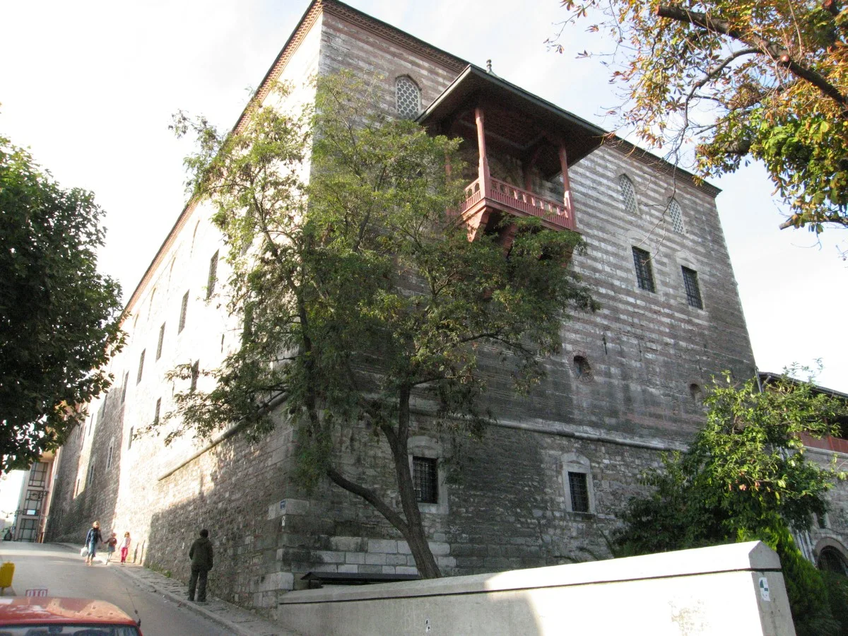 Museums
Turkish and Islamic Arts Museum
Fatih 1914
0.1 km
 Historical Places
0.1 km
 Historical Places
0.1 km
 Historical Places
0.1 km
 Religious Sites
Azize Euphemia Kilisesi
Fatih
0.1 km
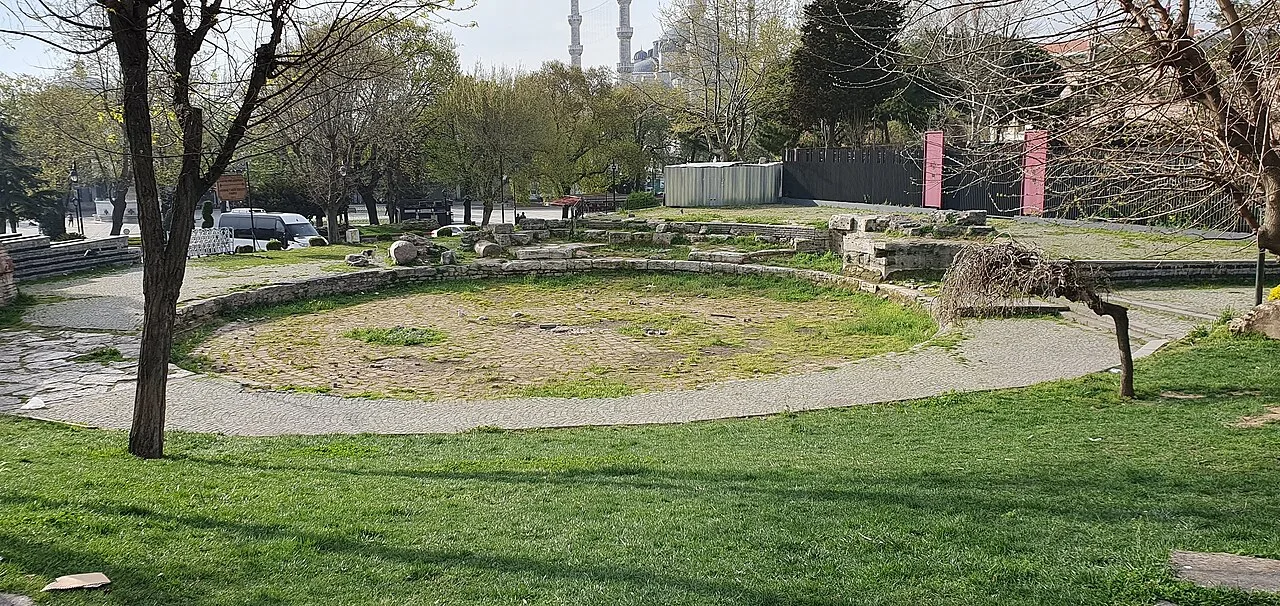 Historical Places
0.1 km
 Religious Sites
Üçler Mescidi Haziresi
Fatih
0.1 km
Museums in İstanbul
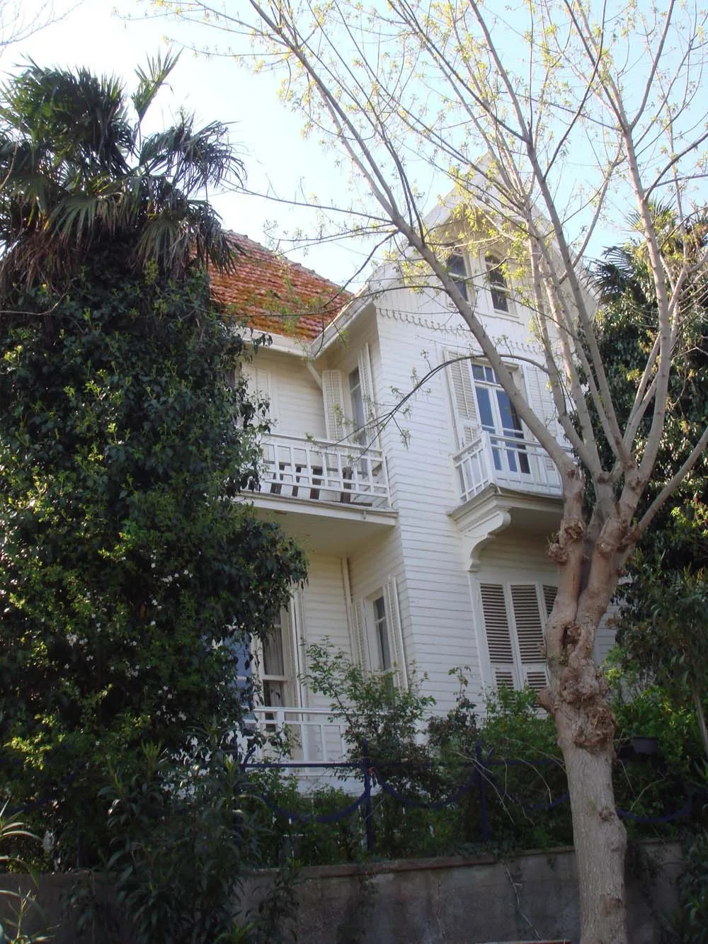 Museums
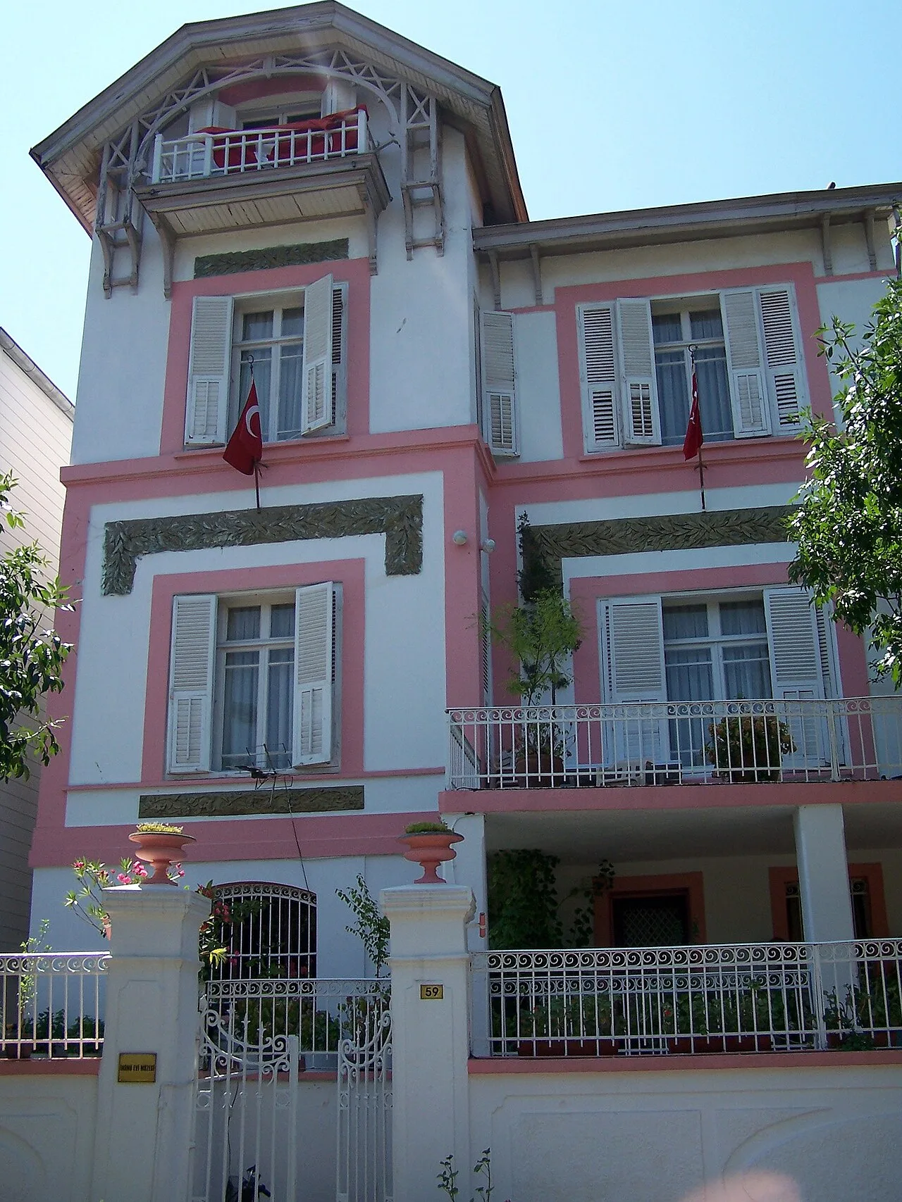 Museums
İsmet İnönü House Museum
Adalar
 Museums
Topkapı Palace
Fatih Osmanlı · 15.–19. yüzyıl
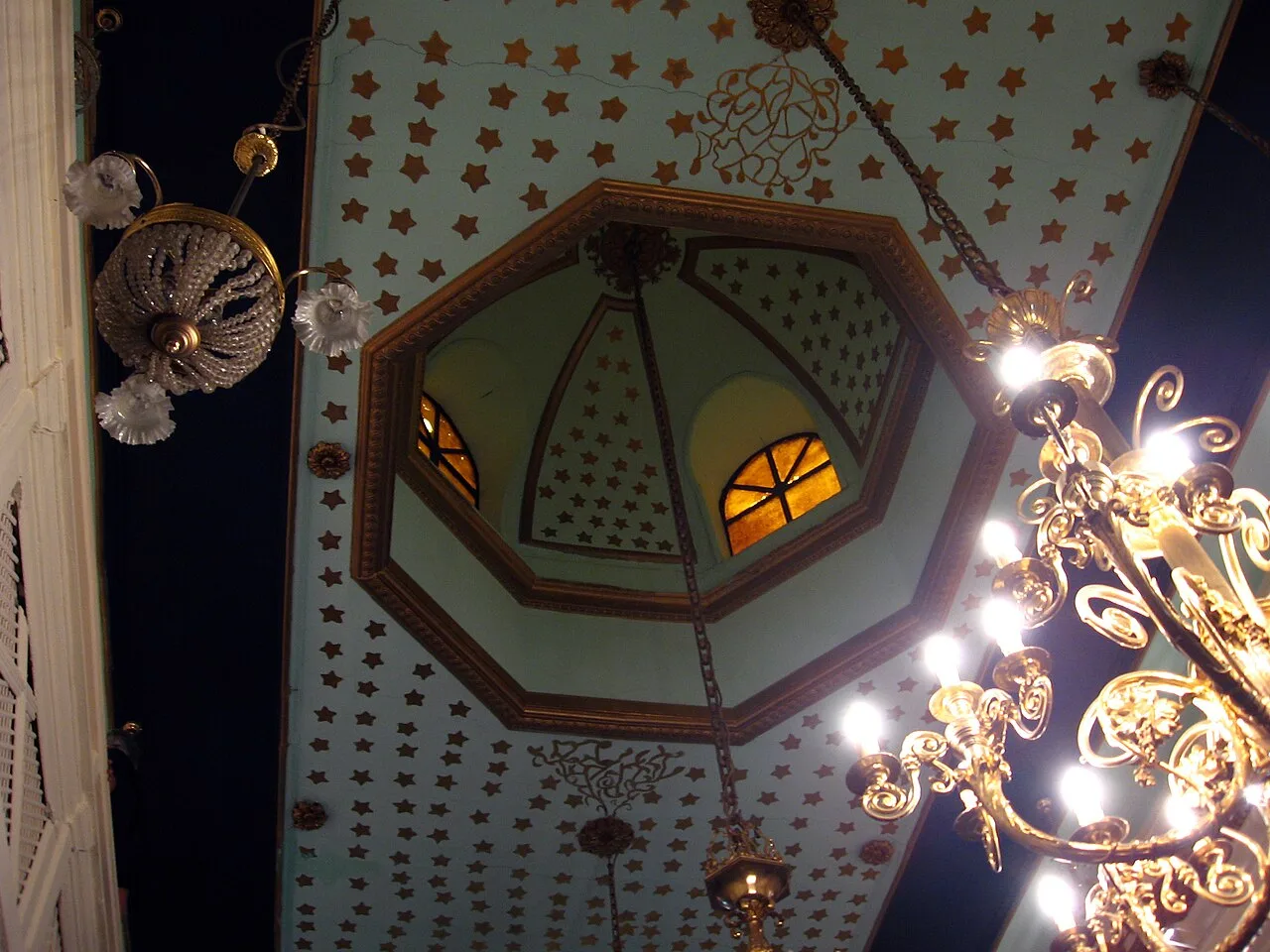 Museums
Jewish Museum of Turkey
Beyoğlu 2001
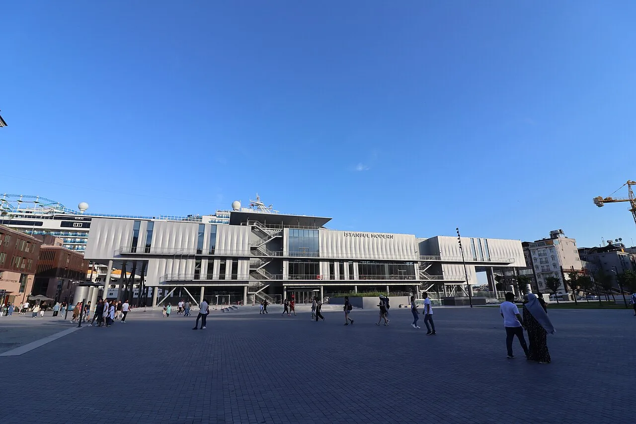 Museums
İstanbul Modern
Beyoğlu 2003
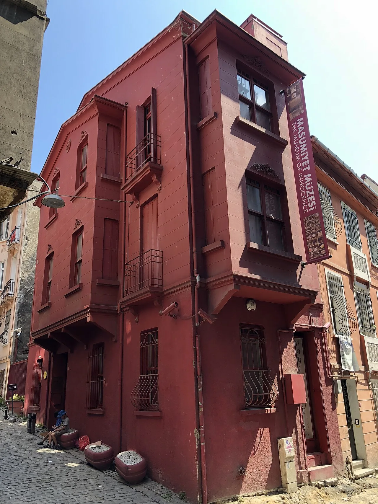 Museums
The Museum of Innocence
Beyoğlu 2012
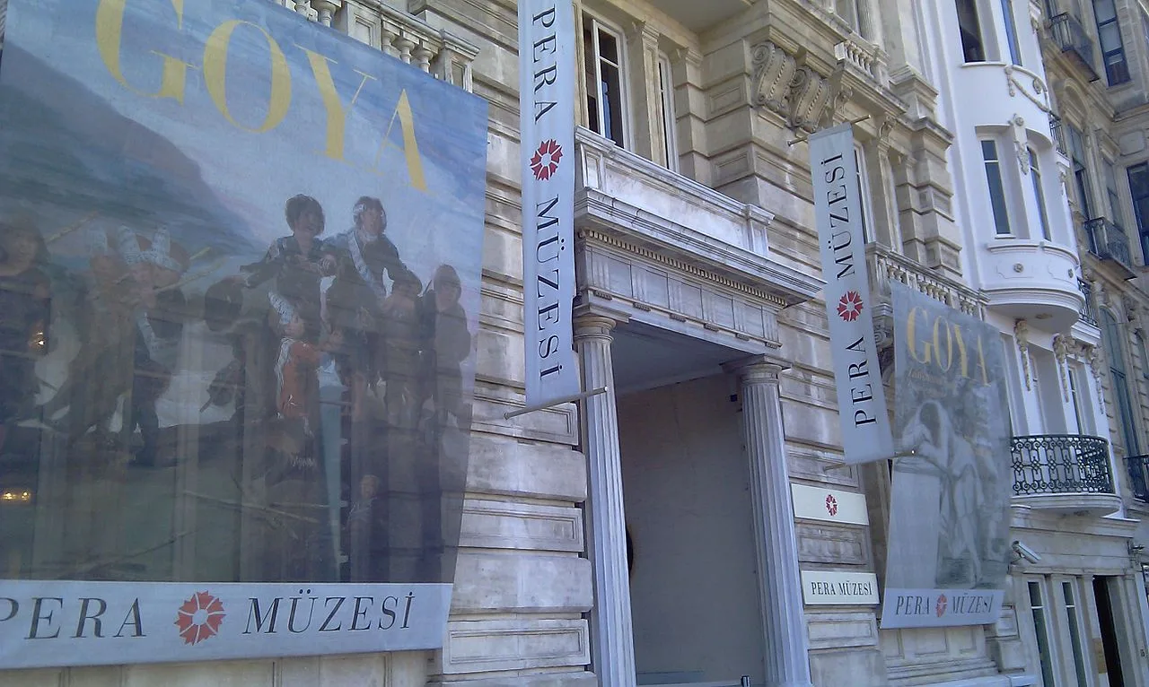 Museums
Pera Museum
Beyoğlu 2005
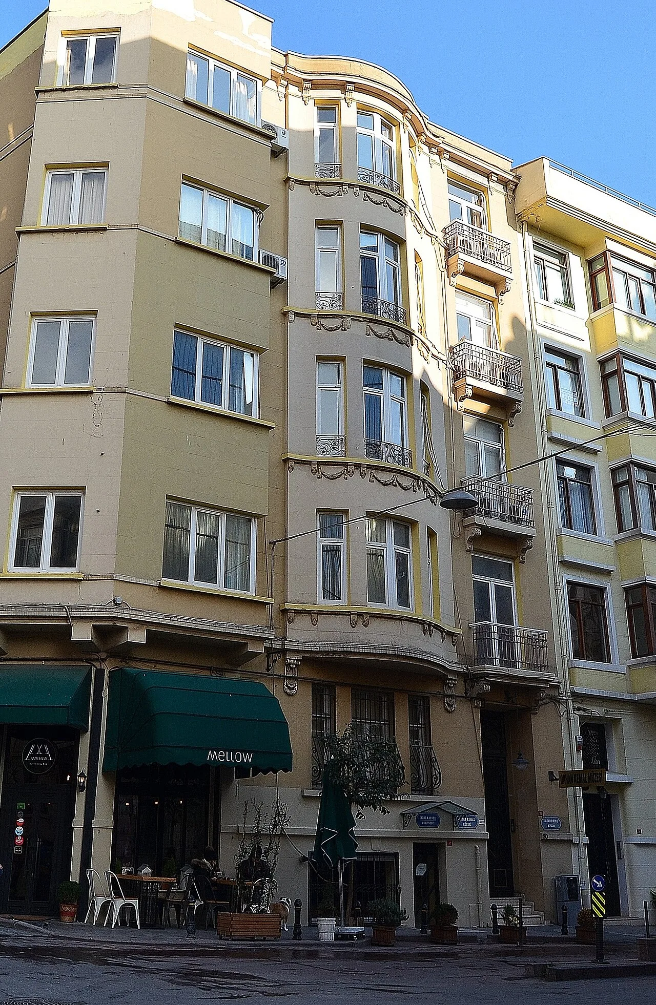 Museums
Orhan Kemal Literature Museum
Beyoğlu
Frequently Asked Questions
Tapu ve Kadastro Binası is located in Fatih, İstanbul. Coordinates: 41.00652, 28.97541.
A visit of 1-2 hours is usually enough; it can be combined with other stops nearby into a half-day route.
Yes. You can request a licensed local guide in İstanbul and visit Tapu ve Kadastro Binası with a professional tour guide.
Request a Guided Tour
Visit Tapu ve Kadastro Binası with a licensed professional guide in İstanbul.
See guides in İstanbul