
Location and Access
Aşağı Kotanlı Köyü Demiryolu Köprüsü is located in Selim district, Kars. Coordinates are 40.45899, 42.91241. You can get directions from the map below. You can request a licensed local guide for Kars.
Places to Visit Near Aşağı Kotanlı Köyü Demiryolu Köprüsü
 Historical Places
0.9 km
 Religious Sites
Benliahmet Köyü Camii
Selim
3.1 km
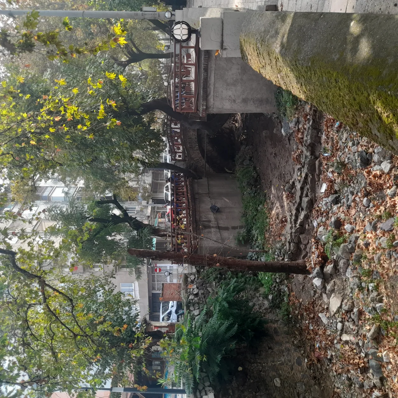 Historical Places
Kırmızı Köprü
Selim
3.1 km
 Historical Places
Benliahmet II Köprüsü
Selim
3.3 km
 Historical Places
Benliahmet I Köprüsü
Selim
3.4 km
 Historical Places
Oluklu Köyü Köprüsü
Selim
7.1 km
 Historical Places
9.5 km
 Nature & Outdoors
10.1 km
Historical Places in Kars
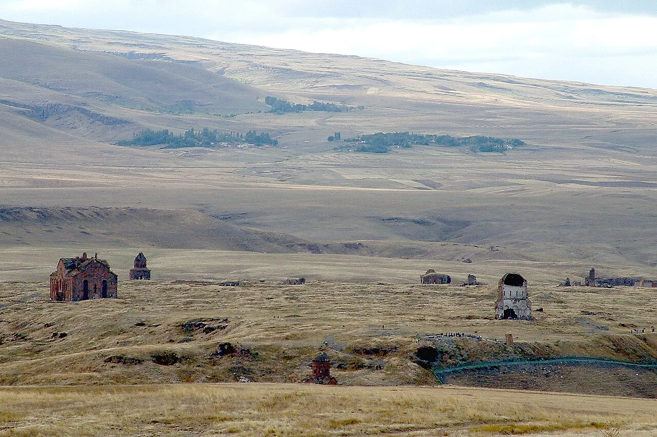 Historical Places
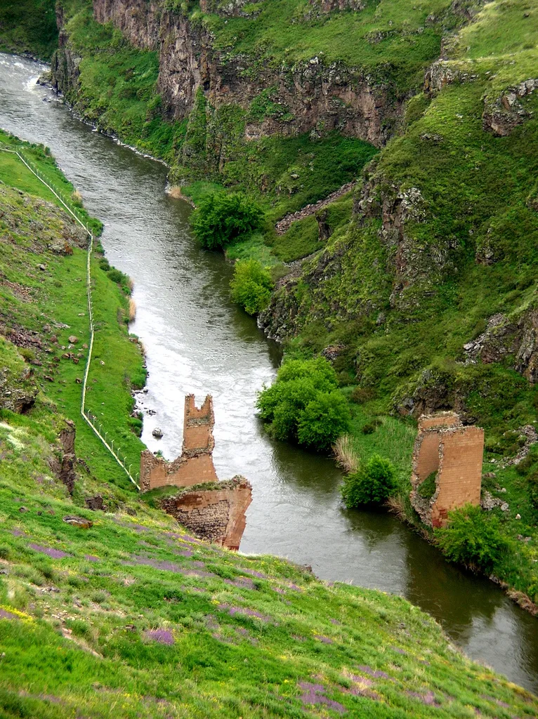 Historical Places
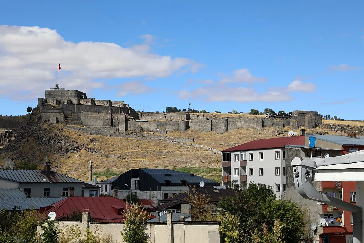 Historical Places
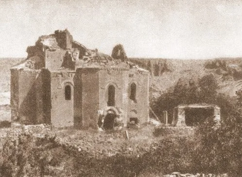
Castle of Kars
1153
 Historical Places
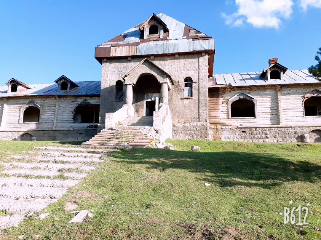
Katherina Villa
Sarıkamış 1896
 Historical Places
 Historical Places
 Historical Places
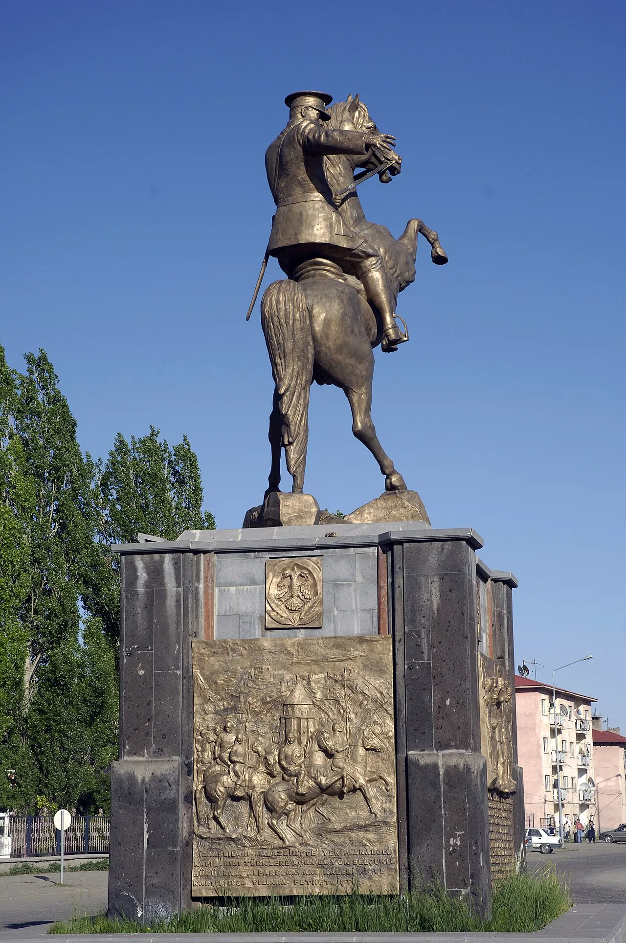
Atatürk Monument
2004
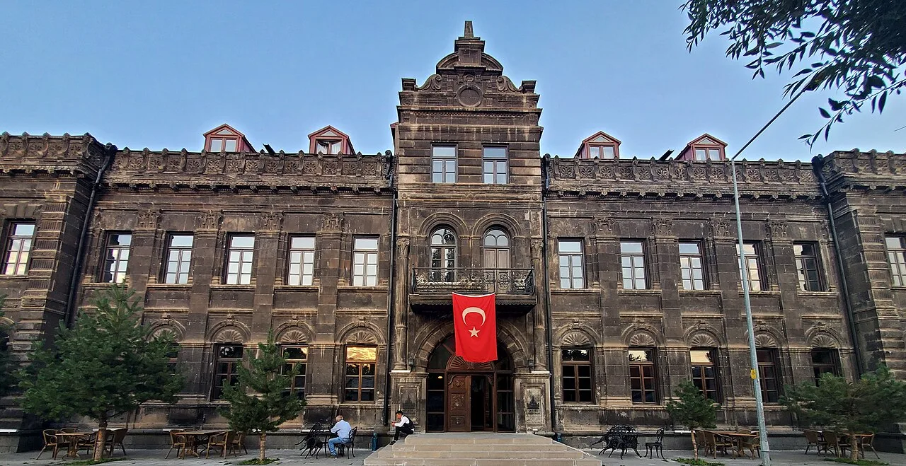 Historical Places
Cheltikov mansion
1900
Frequently Asked Questions
Aşağı Kotanlı Köyü Demiryolu Köprüsü is located in Selim, Kars. Coordinates: 40.45899, 42.91241.
A visit of 1-2 hours is usually enough; it can be combined with other stops nearby into a half-day route.
Yes. You can request a licensed local guide in Kars and visit Aşağı Kotanlı Köyü Demiryolu Köprüsü with a professional tour guide.
Quick Facts
- Province Kars
- District Selim
- Category Historical Places
- Coordinates 40.45899, 42.91241
Request a Guided Tour
Visit Aşağı Kotanlı Köyü Demiryolu Köprüsü with a licensed professional guide in Kars.
See guides in Kars