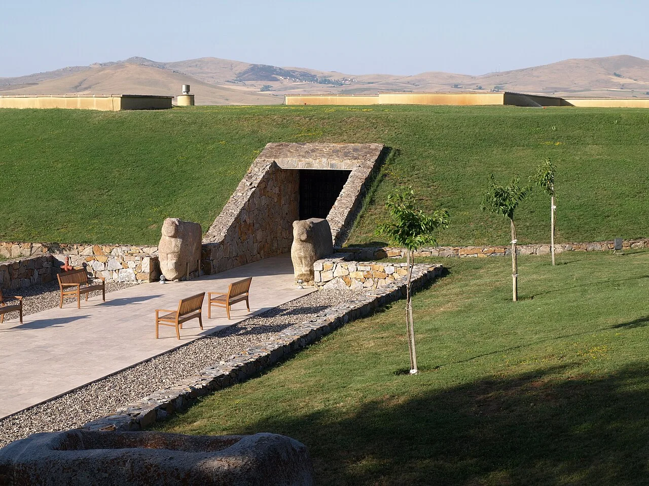
About Kaman-Kalehöyük
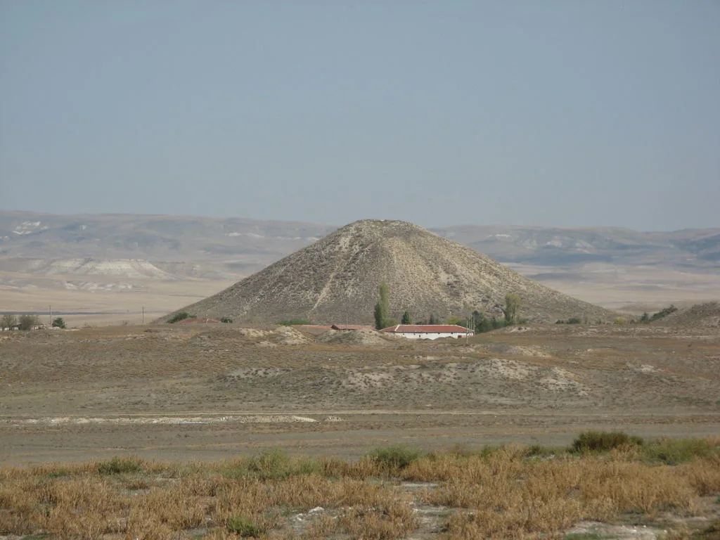
Kaman-Kalehöyük is a multi-period archaeological site in Kırşehir Province, Turkey, around 100 km south east of Ankara, 6 km east of the town center of Kaman. It is a tell or mound site that was occupied during the Bronze Age, Iron Age and Ottoman periods. Excavations in the mound have been carried out since 1986 under the direction of Sachihiro Omura, on behalf of the Middle Eastern Culture Center in Japan and the Japanese Anatolian Archeology Institute. The distance to Hattusa, the Hittite capital, is about 100 km.
This description is taken from Wikipedia and published under the CC BY-SA 4.0 licence. Kaman-Kalehöyük
Location and Access
Kaman-Kalehöyük is located in Kaman district, Kırşehir. Coordinates are 39.36285, 33.78671. You can get directions from the map below. You can request a licensed local guide for Kırşehir.
Places to Visit Near Kaman-Kalehöyük
 Nature & Outdoors
 Historical Places
 Historical Places
Yeniyapan Höyüğü
 Historical Places
Körmen Höyük
 Nature & Outdoors
 Nature & Outdoors
 Historical Places
Yelek Höyük
 Historical Places
Karga Höyüğü
Historical Places in Kırşehir
 Historical Places
 Historical Places
 Historical Places
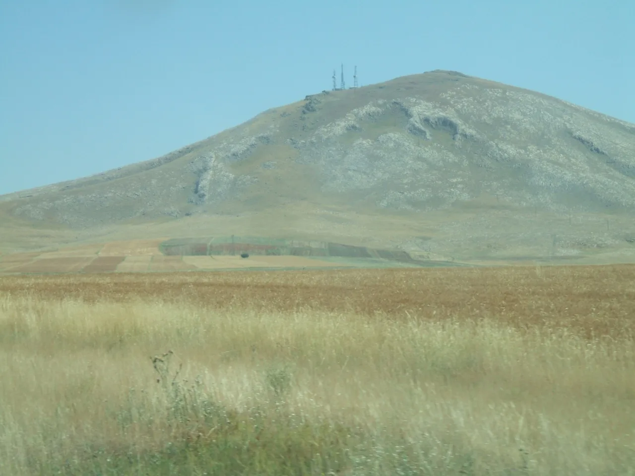 Historical Places
Höyüklü
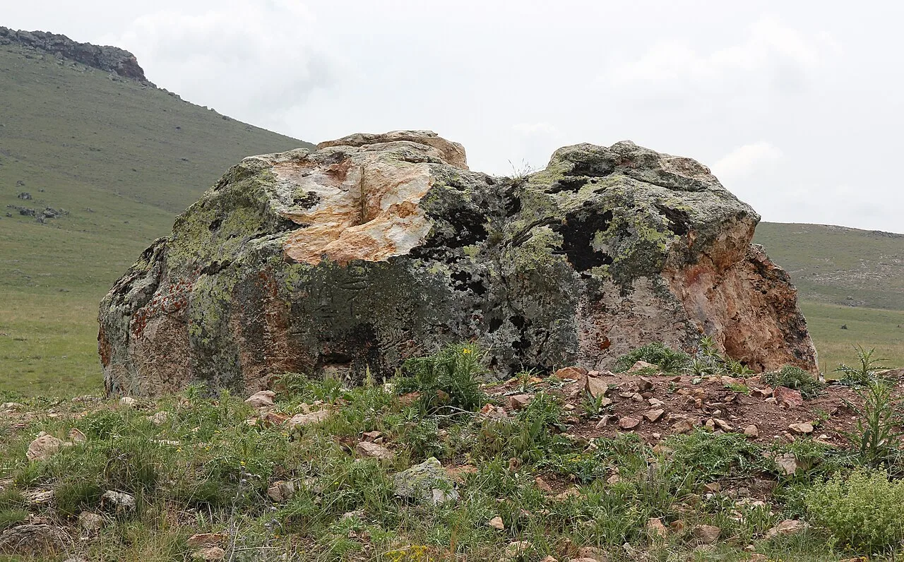 Historical Places
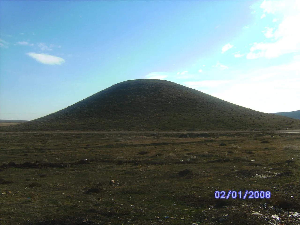 Historical Places
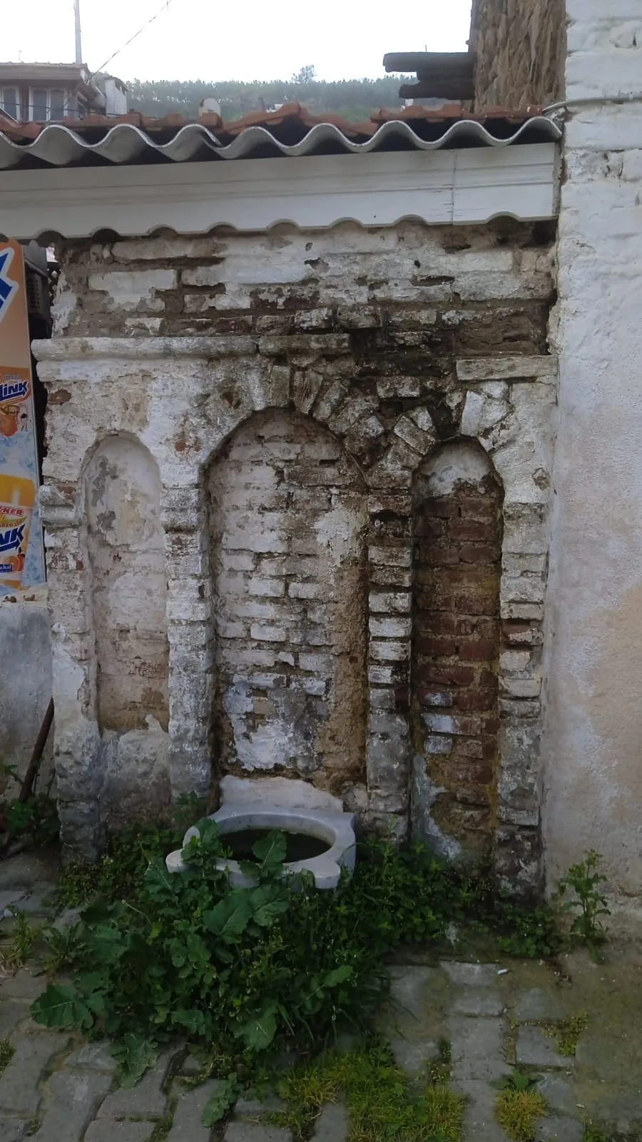 Historical Places
 Historical Places
Yazıkınık Höyük
Frequently Asked Questions
Quick Facts
- Province Kırşehir
- District Kaman
- Category Historical Places
- Coordinates 39.36285, 33.78671
Request a Guided Tour
Visit Kaman-Kalehöyük with a licensed professional guide in Kırşehir.
See guides in Kırşehir