
About Koubaita
Koubaita was an inland town of ancient Bithynia inhabited during Roman times. Its name does not occur in ancient authors, but is inferred from epigraphic and other evidence.
Its site is located near Gündoğdu in Asiatic Turkey.
This description is taken from Wikipedia and published under the CC BY-SA 4.0 licence. Koubaita
Location and Access
Koubaita is located in İzmit district, Kocaeli. Coordinates are 40.79111, 29.94822. You can get directions from the map below. You can request a licensed local guide for Kocaeli.
Places to Visit Near Koubaita
 Historical Places
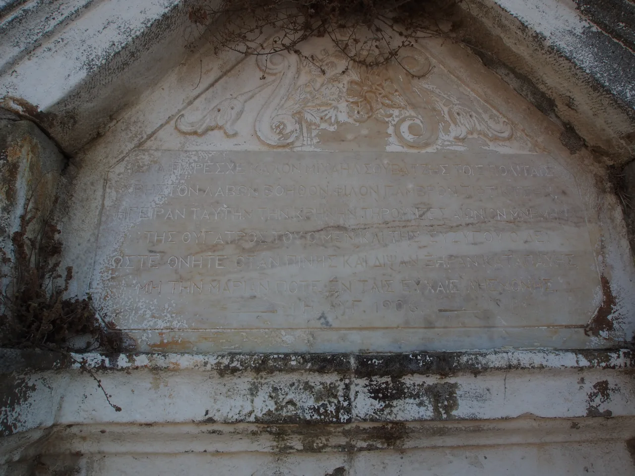
Greek Fountain
 Historical Places
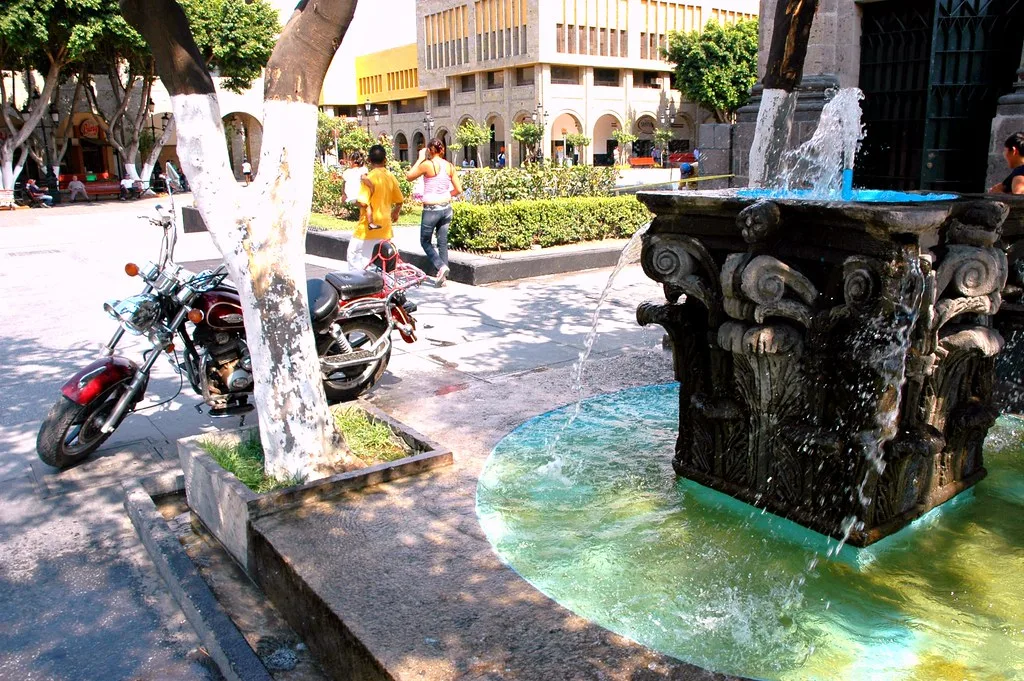
Gençoğlu Street Fountain
 Historical Places
Gün Street Fountain
 Historical Places
 Museums
 Historical Places
 Religious Sites
 Historical Places
Historical Places in Kocaeli
 Historical Places
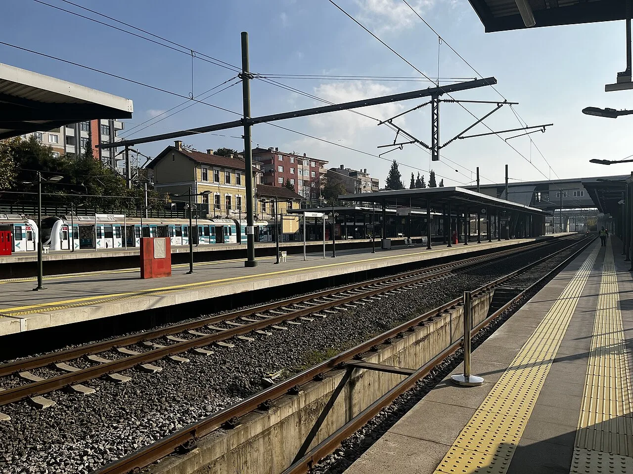
Gebze railway station
 Historical Places
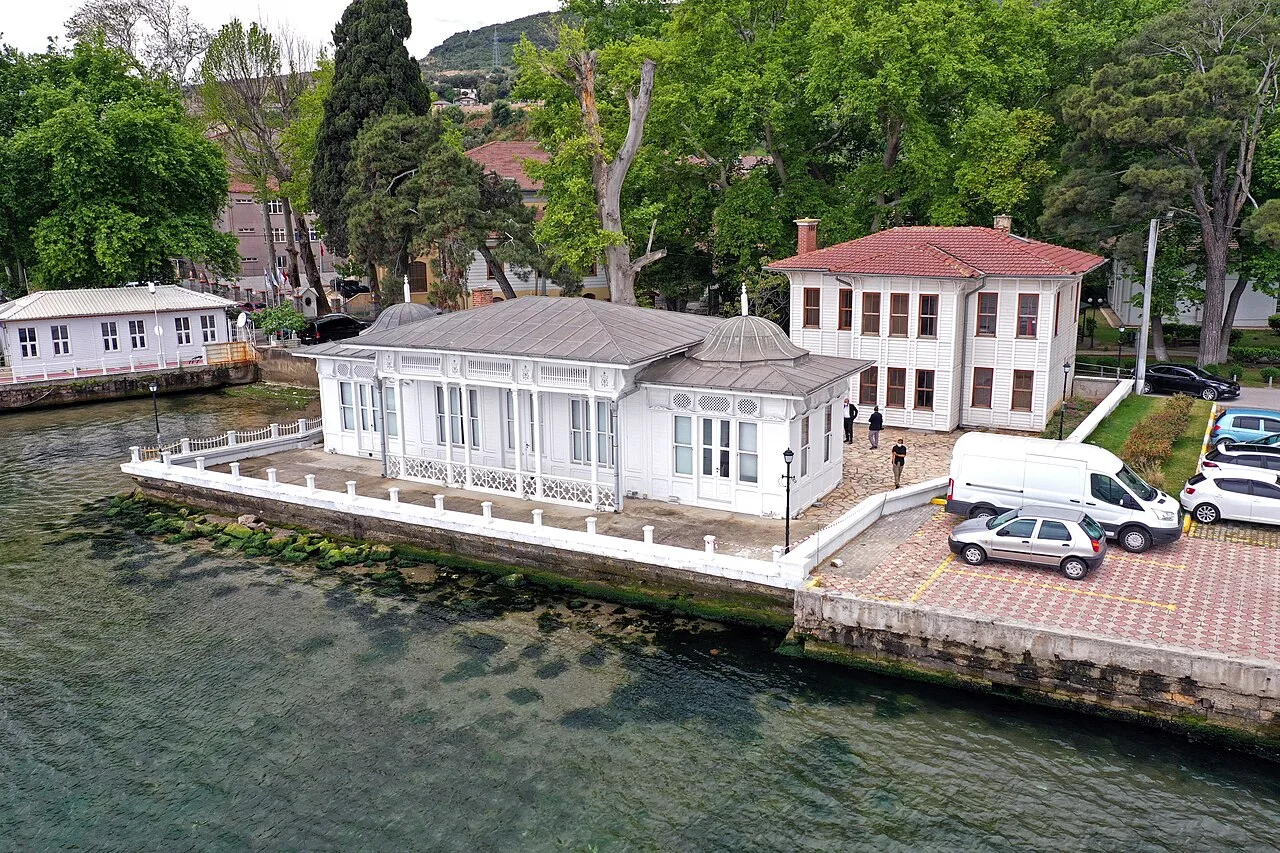
Kaiser II. Wilhelm Mansion
 Historical Places
Astacus in Bithynia
 Historical Places
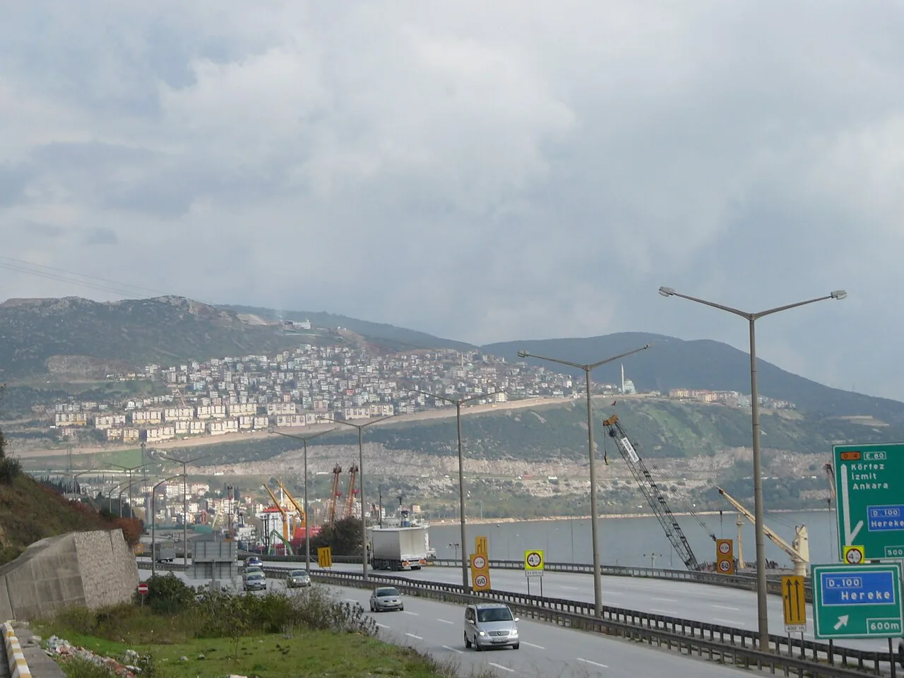
Hereke railway station
 Historical Places
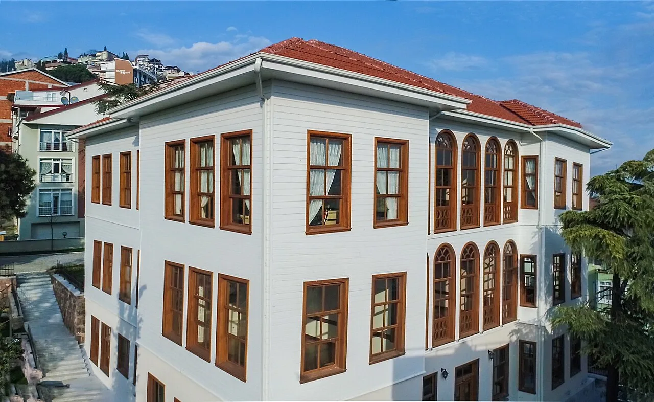
Portakal Hafız Mansion
 Historical Places
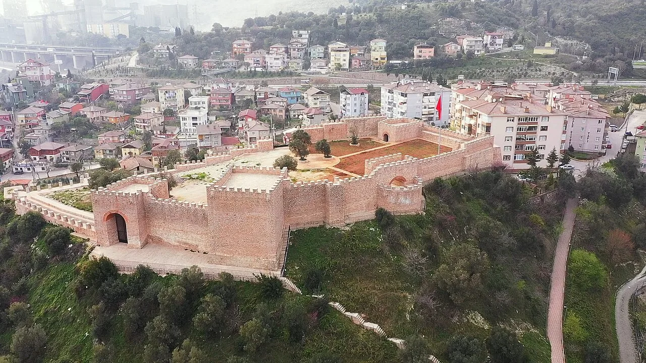
Hereke Castle
 Historical Places
Süleyman Paşa Baths
 Historical Places
Frequently Asked Questions
Quick Facts
- Province Kocaeli
- District İzmit
- Category Historical Places
- Coordinates 40.79111, 29.94822
Request a Guided Tour
Visit Koubaita with a licensed professional guide in Kocaeli.
See guides in Kocaeli