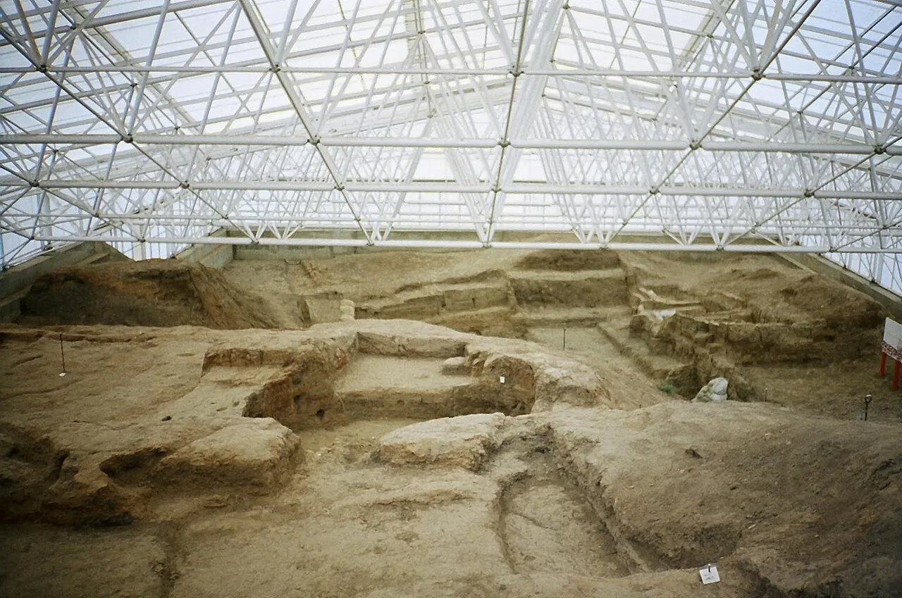
About Çatalhöyük
Çatalhöyük (English: Chatalhoyuk; , cha-tal-HOO-yuhk; Turkish pronunciation: [tʃaˈtaɫhœjyc]; also Çatal Höyük and Çatal Hüyük; from Turkish çatal "fork" + höyük "tumulus") is a tell (a mounded accretion resulting from long-term human settlement) of a very large Neolithic and Chalcolithic proto-city settlement in southern Anatolia, which existed from around 7500 BC to 5600 BC and flourished around 7000 BC. Çatalhöyük overlooks the Konya Plain, southeast of the present-day city of Konya (ancient Iconium) in Turkey, around 140 km (87 mi) from the twin-coned volcano of Mount Hasan. It is notable for its large size, apparent egalitarian social structure, and value as a well-preserved example of early Neolithic-era permanent human settlements.
In July 2012, it was inscribed as a UNESCO World Heritage Site.
This description is taken from Wikipedia and published under the CC BY-SA 4.0 licence. Çatalhöyük
Location and Access
Çatalhöyük is located in Çumra district, Konya. Coordinates are 37.66750, 32.82833. You can get directions from the map below. You can request a licensed local guide for Konya.
Places to Visit Near Çatalhöyük
 Historical Places
Kapıdallı Höyüğü
 Historical Places
Salur Höyüğü
 Historical Places
Dedeli Höyüğü
 Historical Places
Karkın Bridge
 Historical Places
Karkın Höyüğü
 Historical Places
Seyit Hasan Bridge
 Historical Places
Seyithan Höyüğü
 Historical Places
Kurtbaba Höyük
Historical Places in Konya
 Historical Places
Kubadabad Palace
 Historical Places
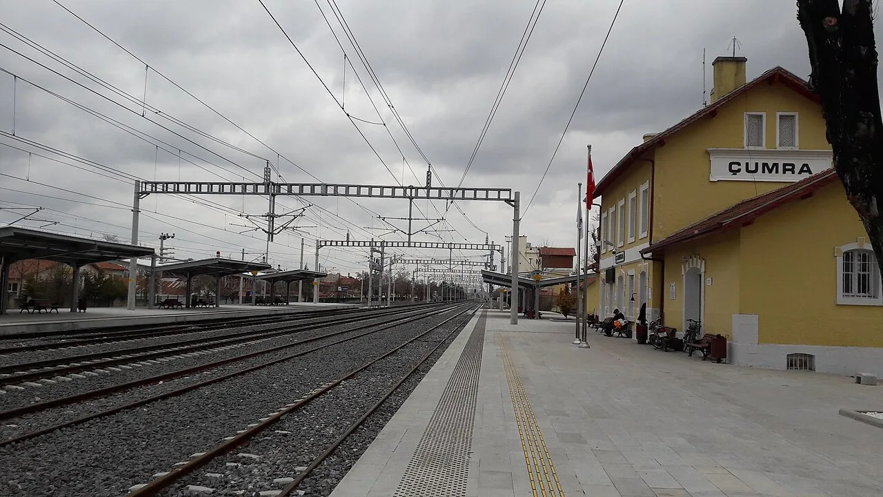
Çumra railway station
 Historical Places
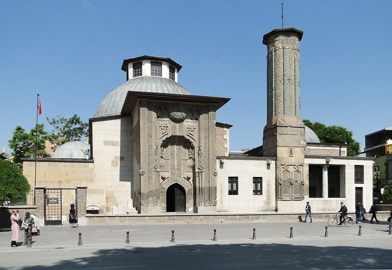
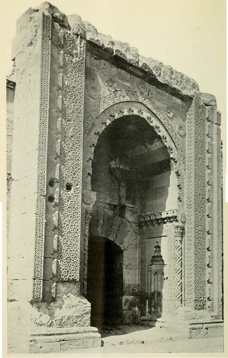
Ince Minaret Medrese
 Historical Places
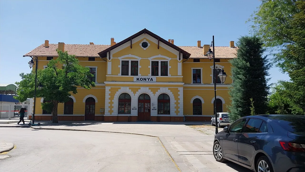
Konya railway station
 Historical Places
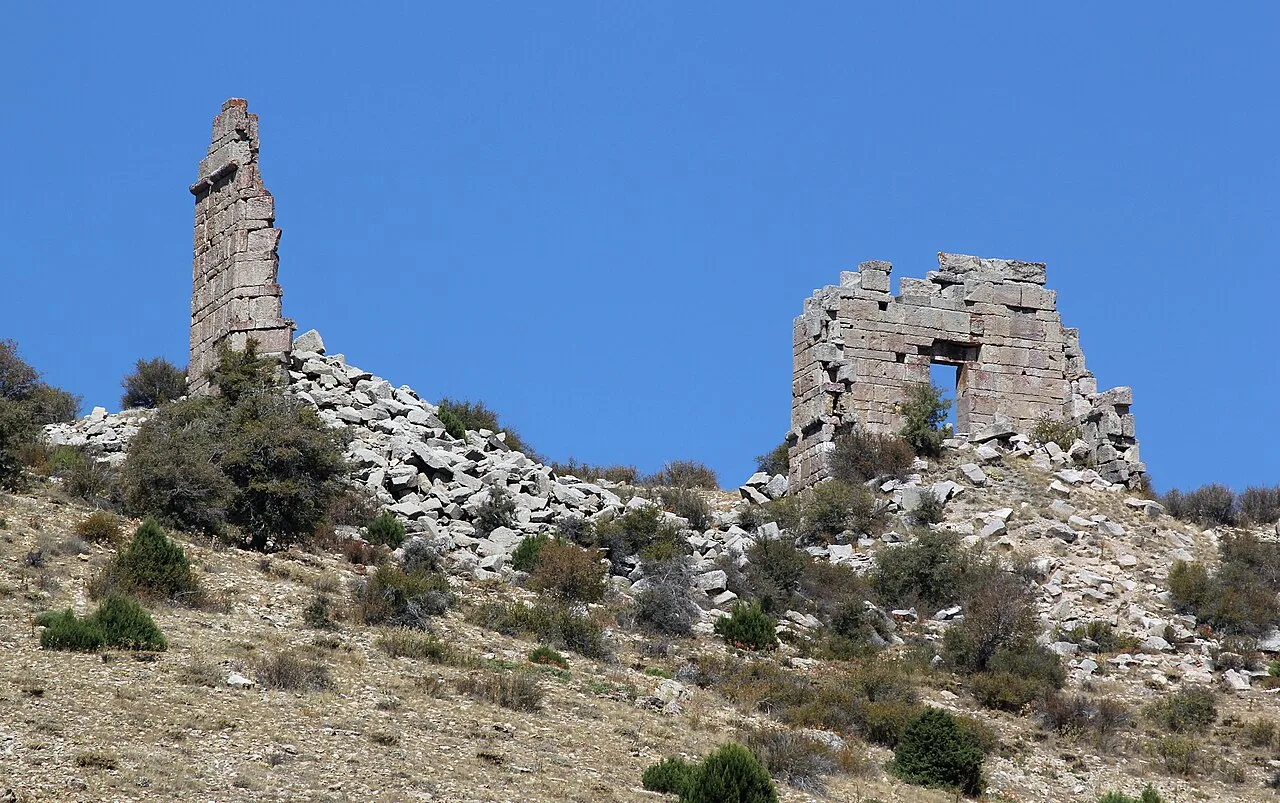
Kilistra
 Historical Places
Sırçalı Madrasah
 Historical Places
 Historical Places
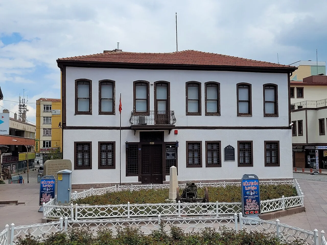
Batı Cephesi Karargahı Museum
Frequently Asked Questions
Quick Facts
- Province Konya
- District Çumra
- Category Historical Places
- Period Neolitik · yaklaşık MÖ 7400–6000
- Opening hours Yaz ve kış dönemine göre değişir
- Entrance Ücretli · Müzekart geçerli
- Visit duration 1,5 saat
- Best season İlkbahar ve sonbahar
- Coordinates 37.66750, 32.82833
Request a Guided Tour
Visit Çatalhöyük with a licensed professional guide in Konya.
See guides in Konya