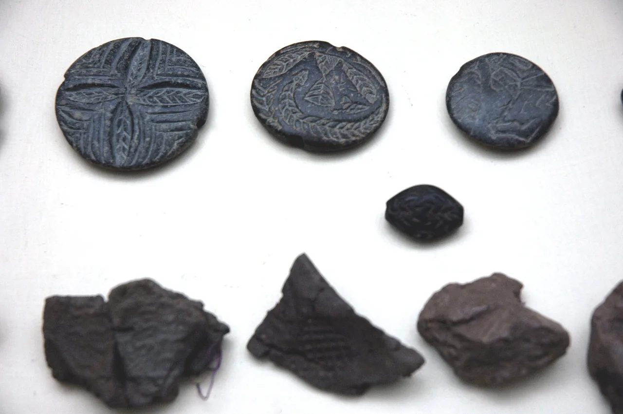
About Değirmentepe
Değirmentepe or Değirmentepe Hüyük is an archaeological site which is located at 50 km north of the river Euphrates and at 24 km in the northeast of Malatya province in eastern Anatolia. It is now submerged in the reservoir area of the Karakaya and Atatürk dams. Rescue excavations were undertaken in 1978 under the supervision of Ufuk Esin of Istanbul University and interrupted in 1989 by flooding of the dams.
This description is taken from Wikipedia and published under the CC BY-SA 4.0 licence. Değirmentepe
Location and Access
Değirmentepe is located in Battalgazi district, Malatya. Coordinates are 38.45973, 38.46571. You can get directions from the map below. You can request a licensed local guide for Malatya.
Places to Visit Near Değirmentepe
 Historical Places
İmamoğlu Mound
 Religious Sites
Tomb of Imam Zeynel Abidin
 Historical Places
Galipbaba Höyüğü
 Historical Places
İkiz Höyük
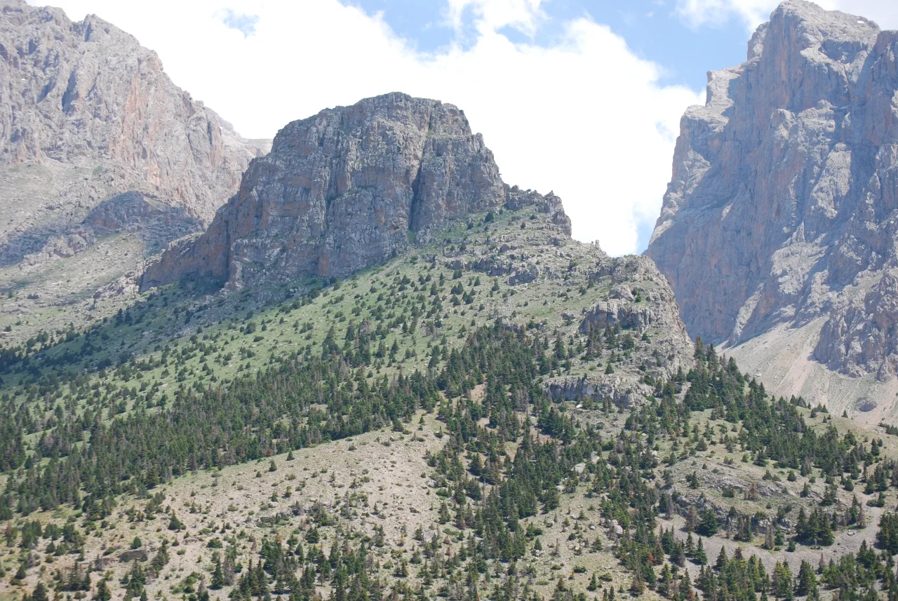 Historical Places
Kaletepe
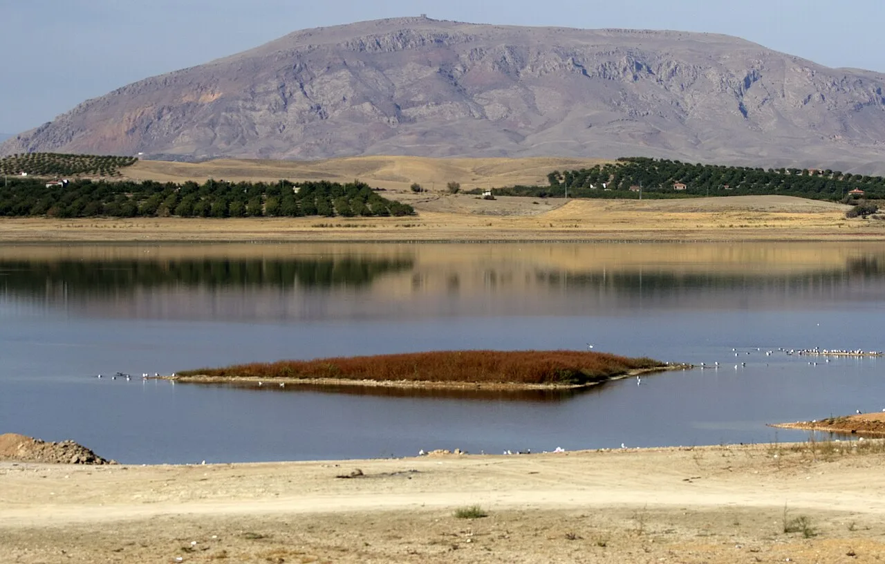 Nature & Outdoors
 Historical Places
Cantepe Höyüğü
 Religious Sites
Tomb of Hazrat Hasan Basri
Historical Places in Malatya
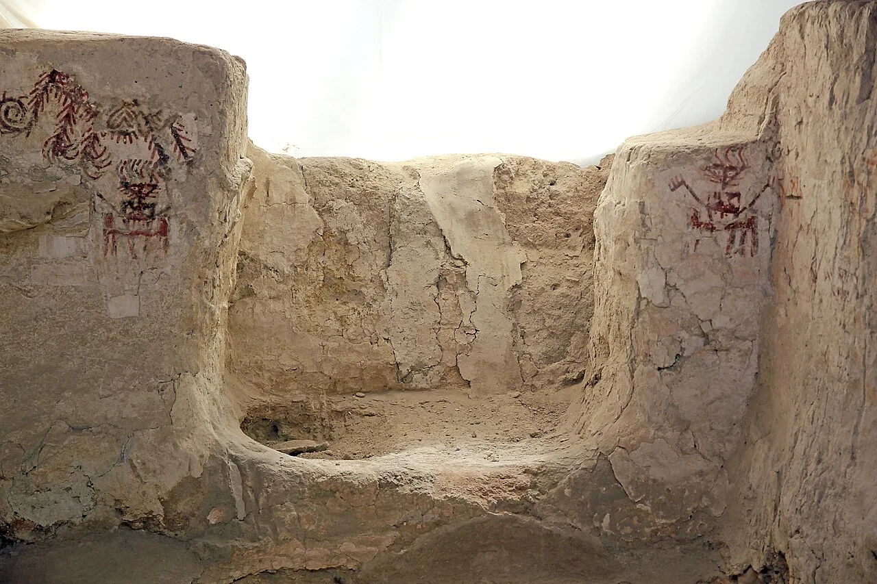 Historical Places
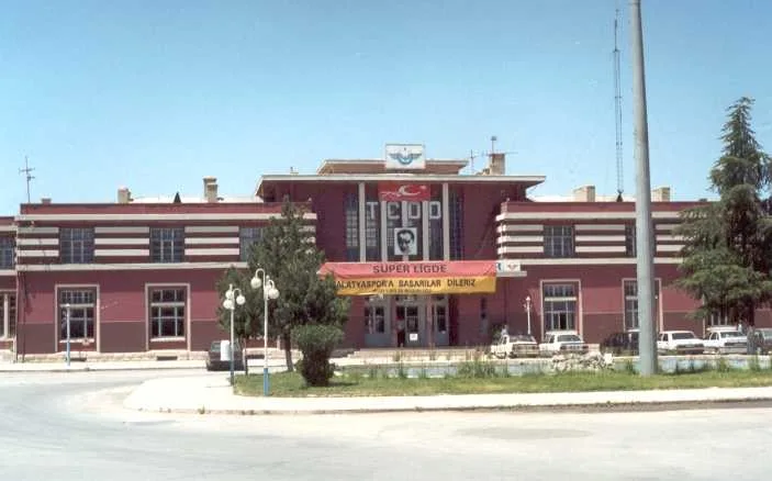
Arslantepe
 Historical Places
 Historical Places
Cafer Höyük
 Historical Places
Kapıdere railway station
 Historical Places
Doğanşehir railway station
 Historical Places
Dilek railway station
 Historical Places
Malatya Bez ve İplik Fabrikası
 Historical Places
Frequently Asked Questions
Quick Facts
- Province Malatya
- District Battalgazi
- Category Historical Places
- Coordinates 38.45973, 38.46571
Request a Guided Tour
Visit Değirmentepe with a licensed professional guide in Malatya.
See guides in Malatya