About Nagidos
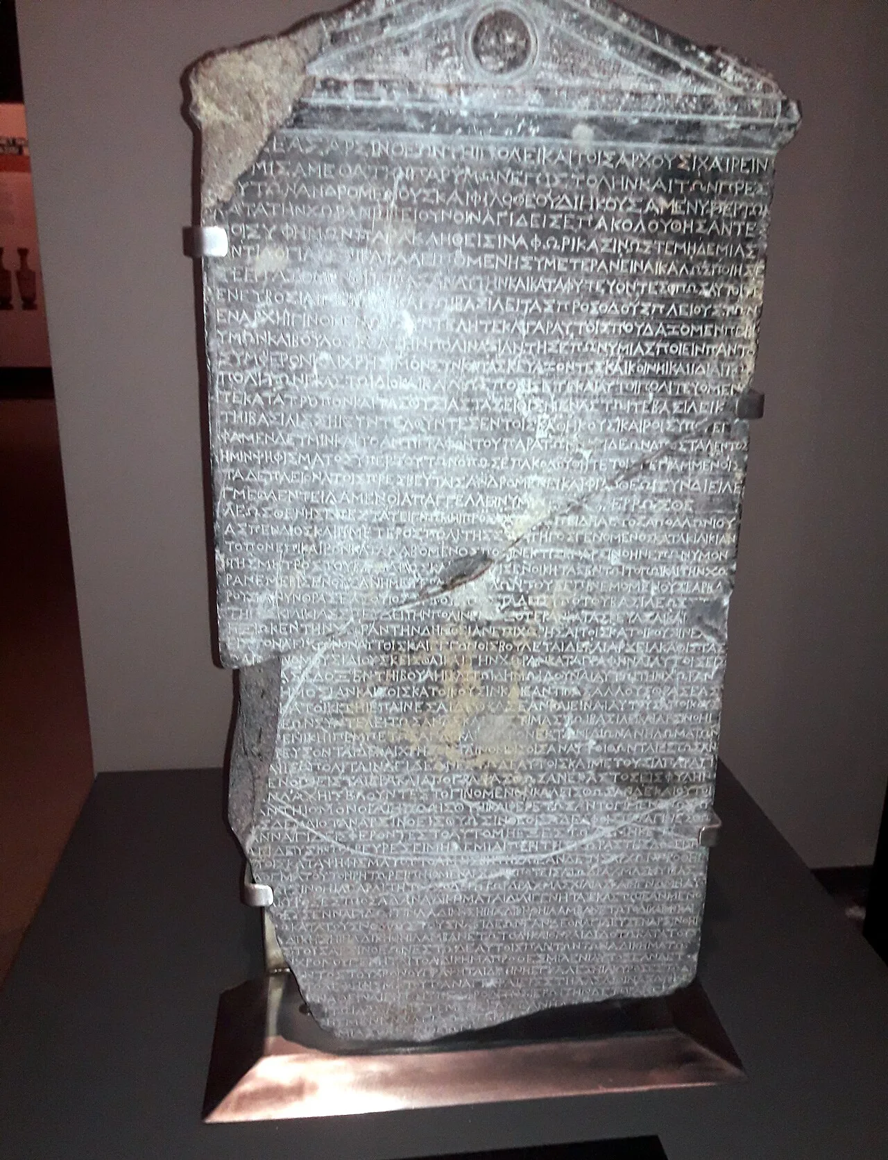
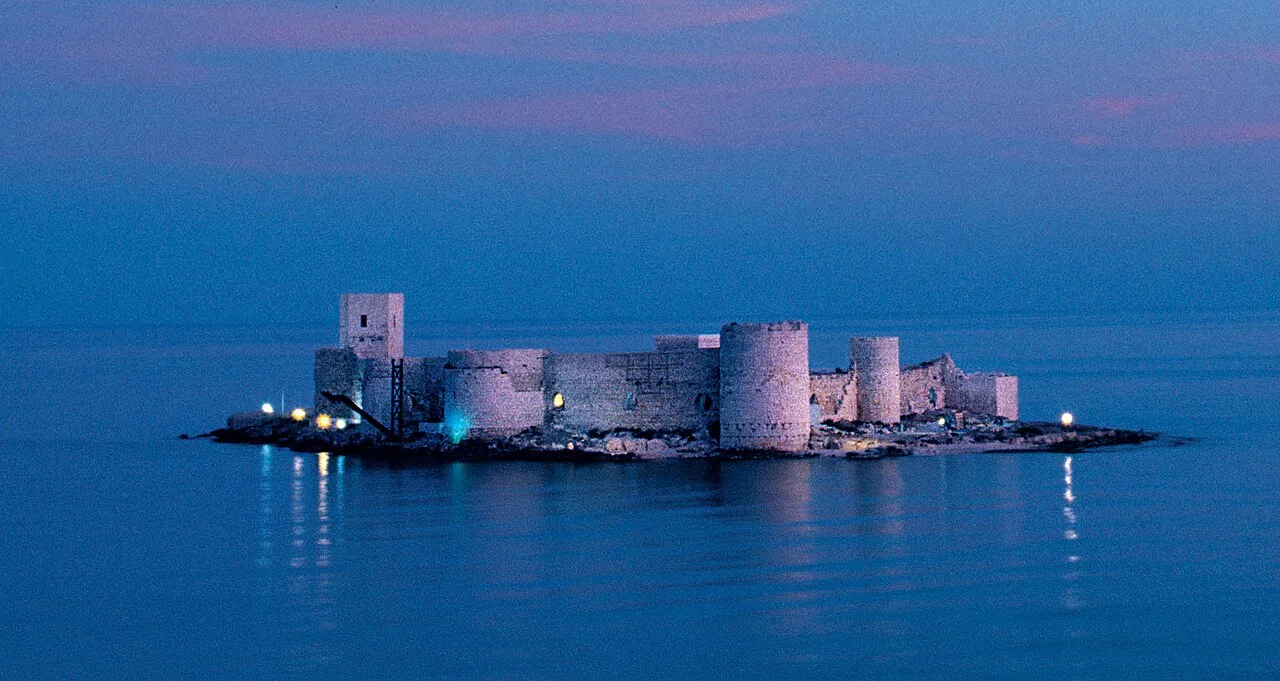
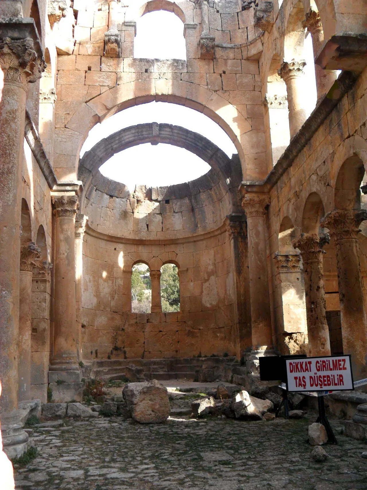
Nagidos (Ancient Greek: Νάγιδος; Latin: Nagidus) was an ancient city of Cilicia. In ancient times it was located between Anemurion to the west and Arsinoe to the east. Today its ruins are found on the hill named Paşabeleni at the mouth of the Sini Cay (Bozyazı Dere) near Bozyazı in Mersin Province, Turkey. It lies at a distance of ca. 20 km to the east of Anamur. Like its eastern neighbor Kelenderis, it was a colony of Samos. The small island of Nagidoussa is opposite Nagidos; on it are the ruins of an Ottoman fortress.
This description is taken from Wikipedia and published under the CC BY-SA 4.0 licence. Nagidos
Location and Access
Nagidos is located in Mersin. Coordinates are 36.09983, 32.97817. You can get directions from the map below. You can request a licensed local guide for Mersin.
Places to Visit Near Nagidos
 Historical Places
 Historical Places
Ak Cami Külliyesi
 Historical Places
Roman Bridge of Karaisalı
 Nature & Outdoors
 Historical Places
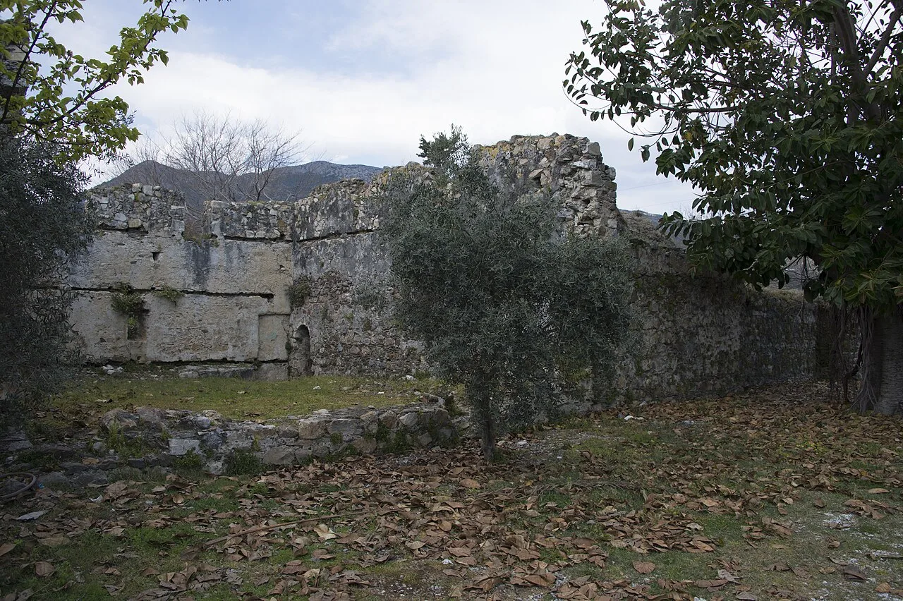
Mamure Hammam
 Religious Sites
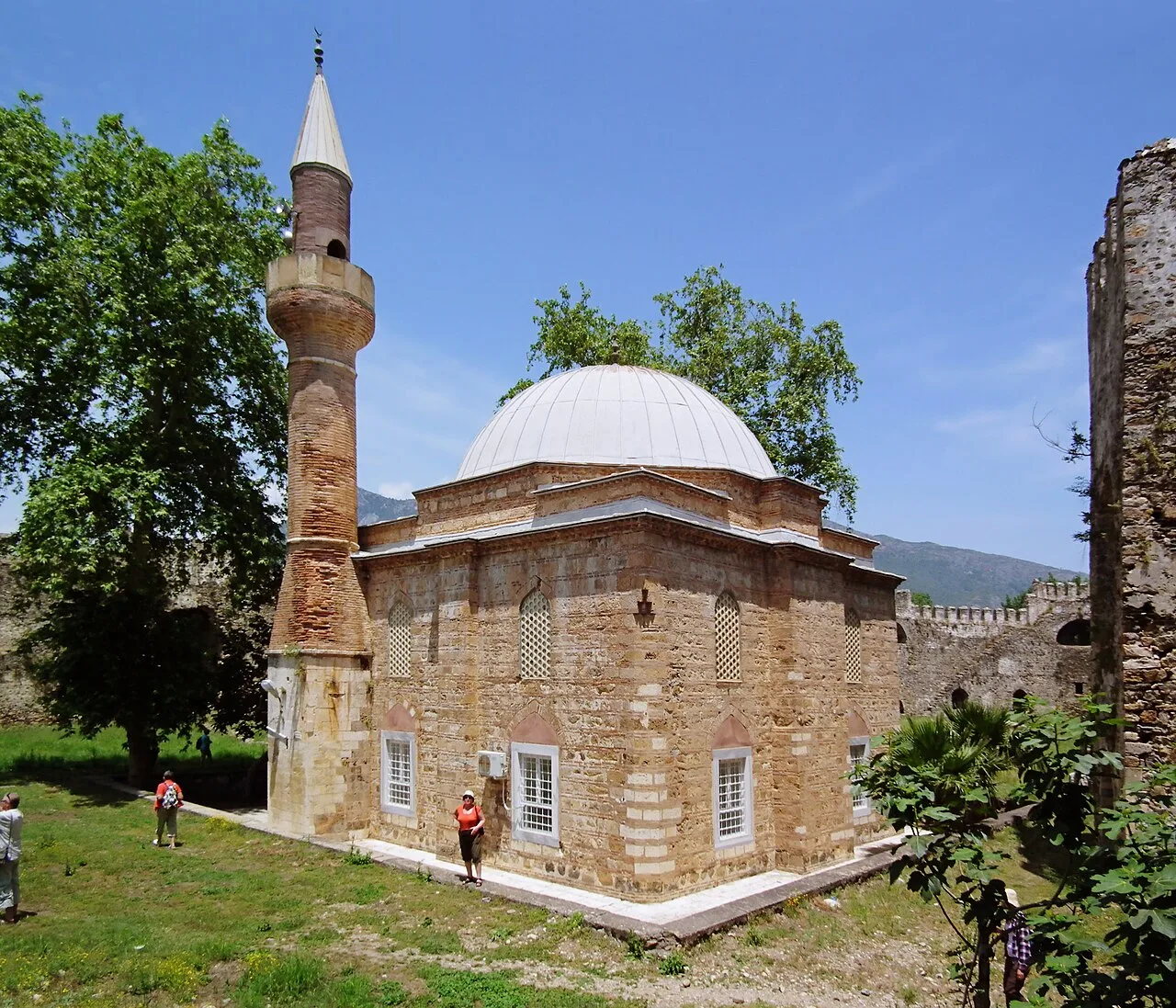
Mamure Mosque
 Historical Places
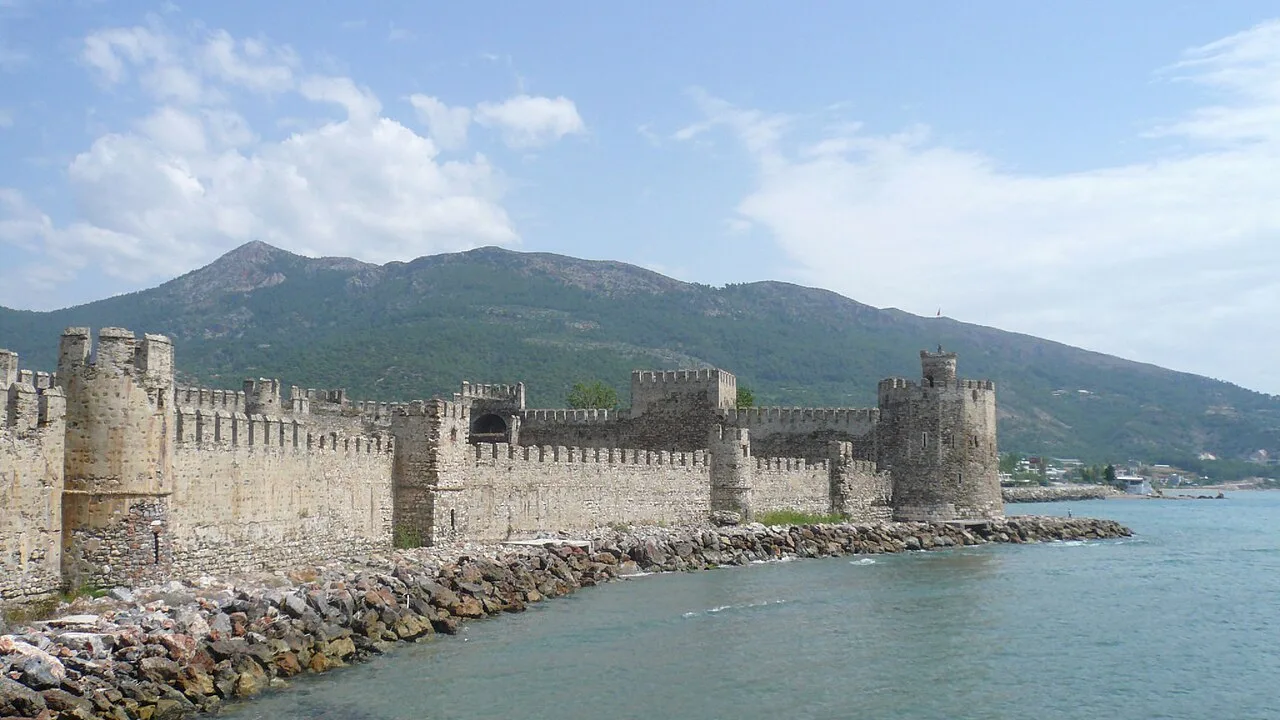
Mamure Castle
 Historical Places
Melania Antik Taş Ocağı
Historical Places in Mersin
 Historical Places
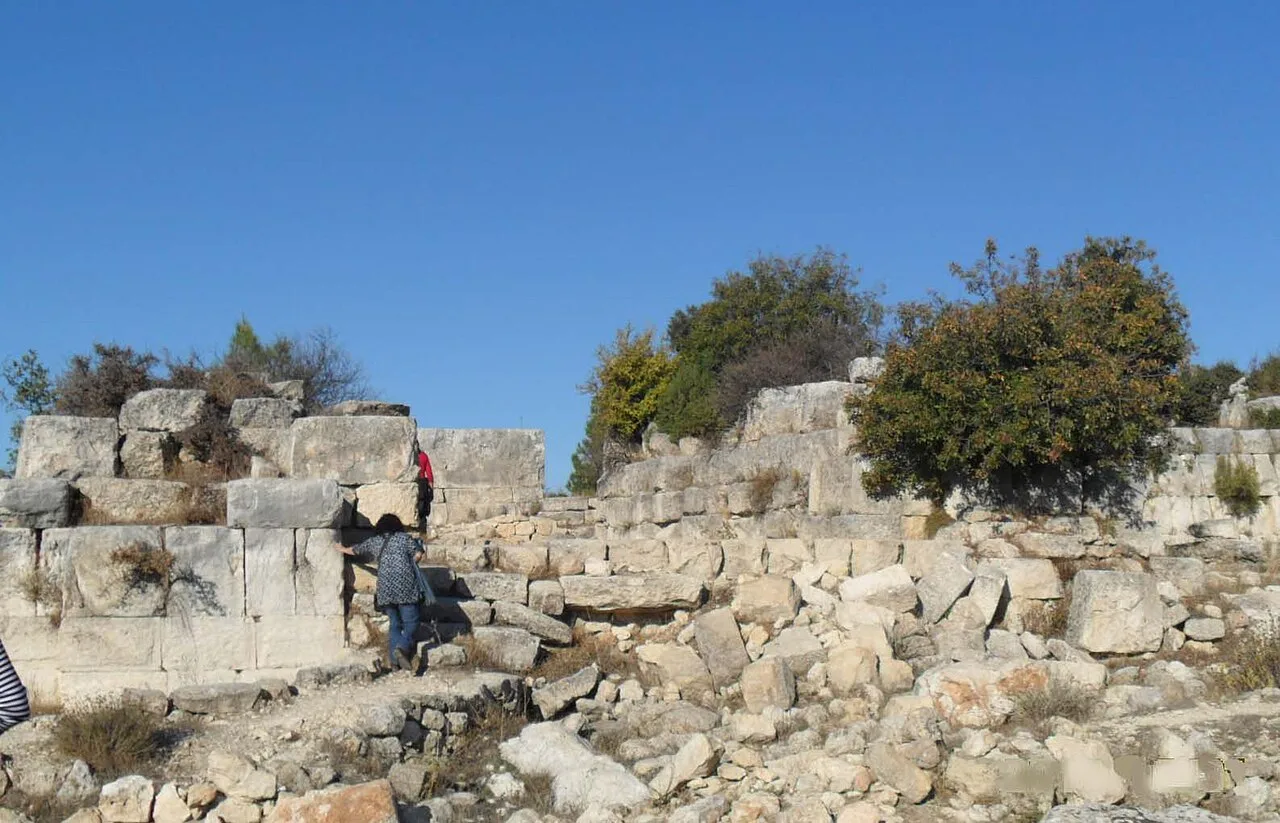
Meydancık Castle
 Historical Places
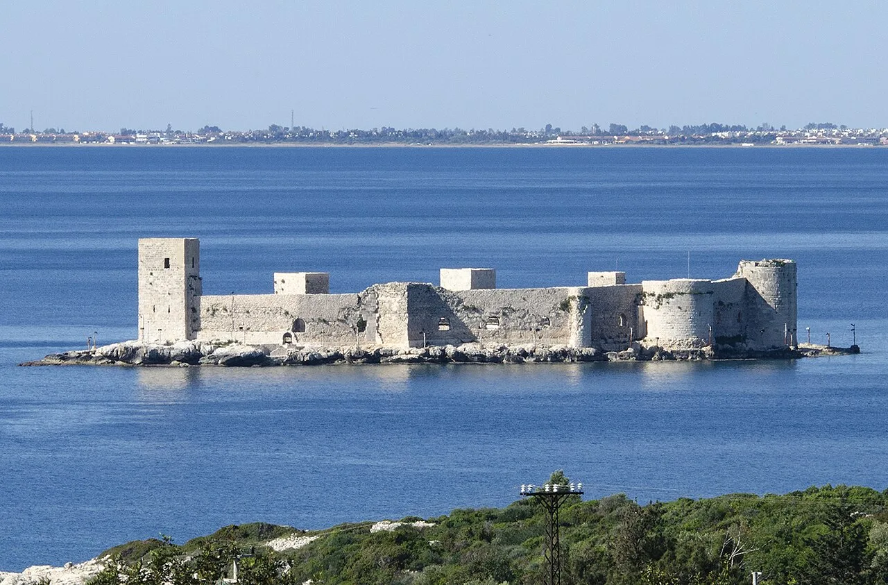
Kızkalesi
 Historical Places
 Historical Places
 Historical Places
 Historical Places
 Historical Places
 Historical Places
Frequently Asked Questions
Quick Facts
- Province Mersin
- Category Historical Places
- Coordinates 36.09983, 32.97817
Request a Guided Tour
Visit Nagidos with a licensed professional guide in Mersin.
See guides in Mersin