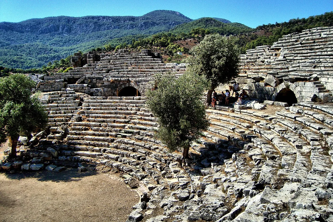
About Kaunos
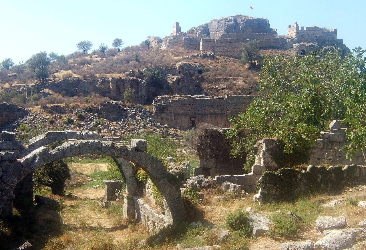
Lycian: Xbide; Ancient Greek: Καῦνος; Latin: Caunus) was a city of ancient Caria in Anatolia, a few kilometres west of the modern town of Dalyan, Muğla Province, Turkey.
The Calbys river (now known as the Dalyan river) was the border between Caria and Lycia. Initially Kaunos was a separate state; then it became a part of Caria and later still of Lycia.
Kaunos was an important sea port, the history of which is supposed to date back to the 10th century BC. Because of the formation of İztuzu Beach and the silting of the former Bay of Dalyan (from approx. 200 BC onwards), Kaunos is now located about 8 km from the coast. The city had two ports, the southern port at the southeast of Küçük Kale and the inner port at its northwest (the present Sülüklü Göl, Lake of the Leeches). The southern port was used from the foundation of the city till roughly the end of the Hellenistic era, after which it became inaccessible due to its drying out. The inner or trade port could be closed by chains. The latter was used till the late days of Kaunos, but due to the silting of the delta and the ports, Kaunos had by then long lost its important function as a trade port. After the capture of Caria by Turkish tribes, and the serious malaria epidemic of the 15th century AD, Kaunos was completely abandoned.
In 1966, Prof. Baki Öğün started the excavations of ancient Kaunos. These have been continued up to the present day, and are now supervised by Prof. Cengiz Işık.
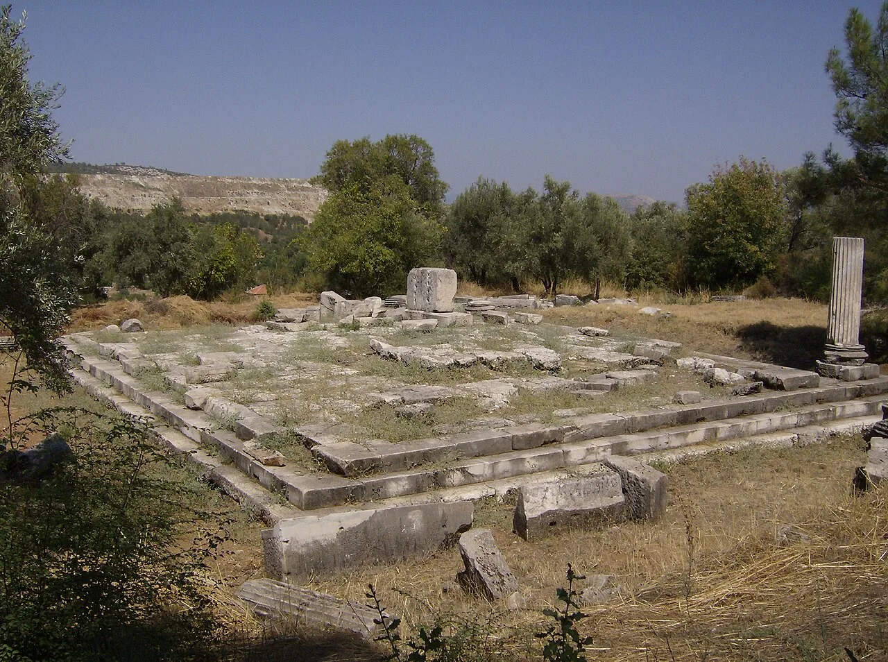
The archeological research is not limited to Kaunos itself, but is also carried out in locations nearby e.g. near the Sultaniye Spa where there used to be a sanctuary devoted to the goddess Leto.
This description is taken from Wikipedia and published under the CC BY-SA 4.0 licence. Kaunos
Location and Access
Kaunos is located in Ortaca district, Muğla. Coordinates are 36.82828, 28.62584. You can get directions from the map below. You can request a licensed local guide for Muğla.
Places to Visit Near Kaunos
 Historical Places
Kaunos Ölçüm Platformu
 Historical Places
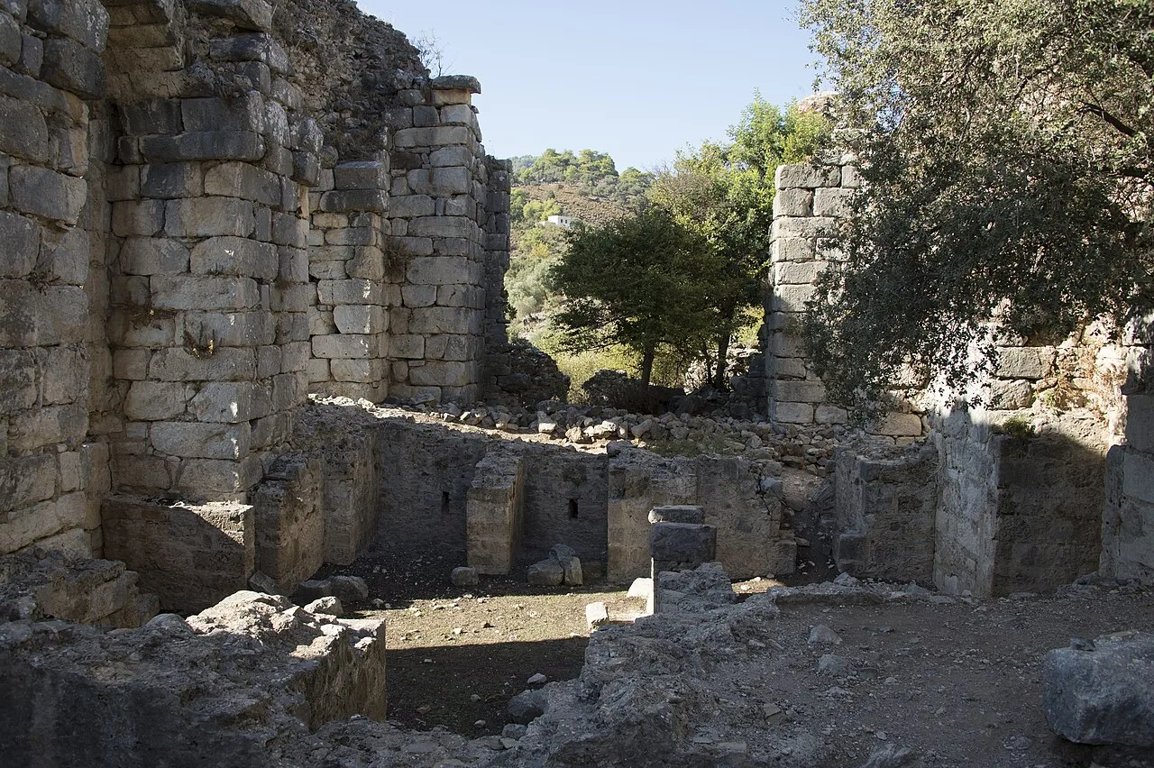
Kaunos Roman Bath
 Religious Sites
Kaunos Manastır Kompleksi
 Religious Sites
Kaunos Cami ve Türbe Yapıları
 Historical Places
 Historical Places
Kaunos Şehir Surları
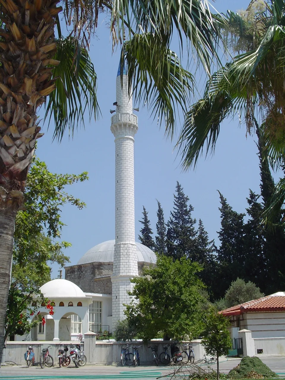 Religious Sites
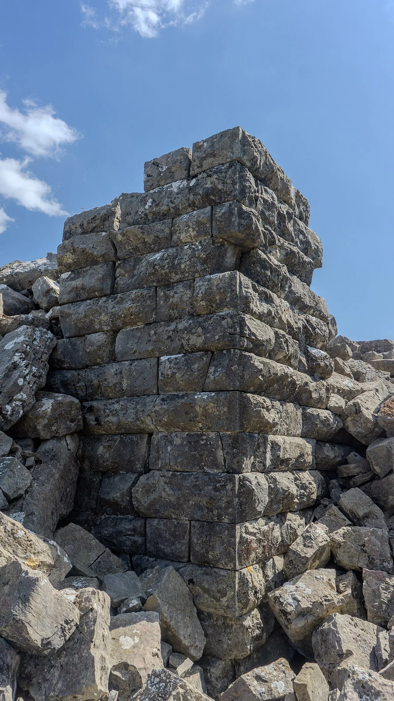 Historical Places
Kızılkaya Castle
Historical Places in Muğla
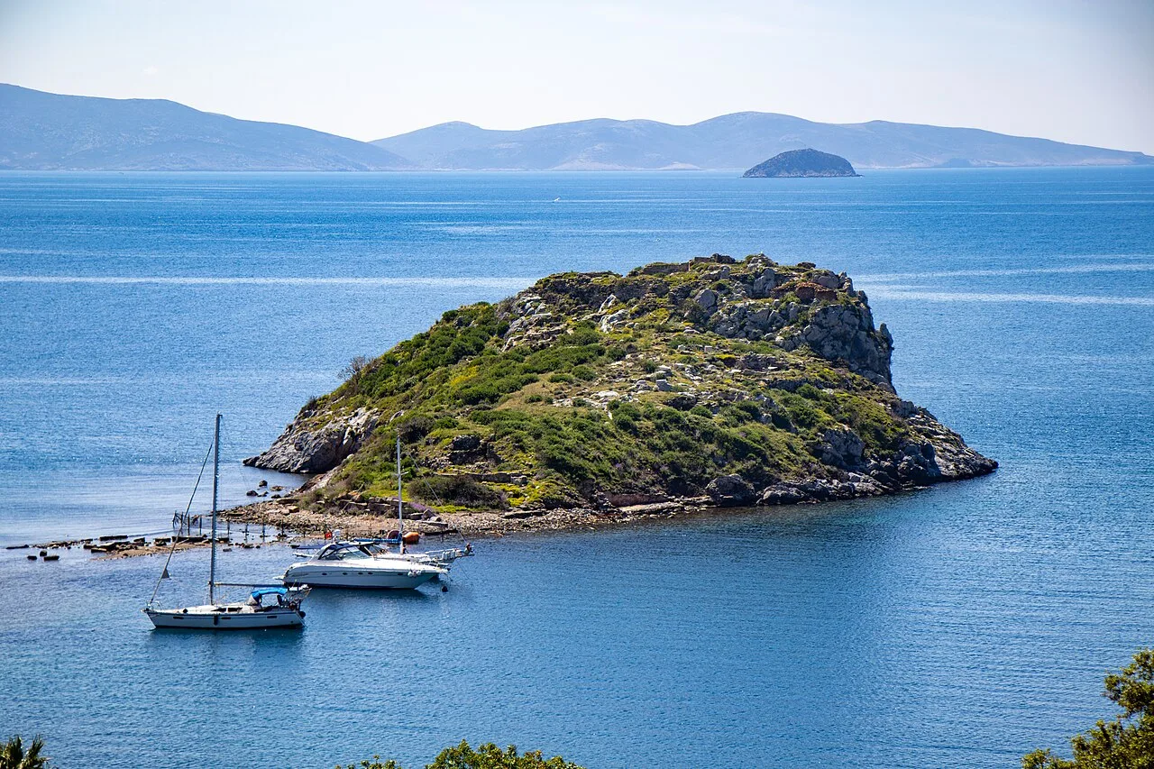 Historical Places
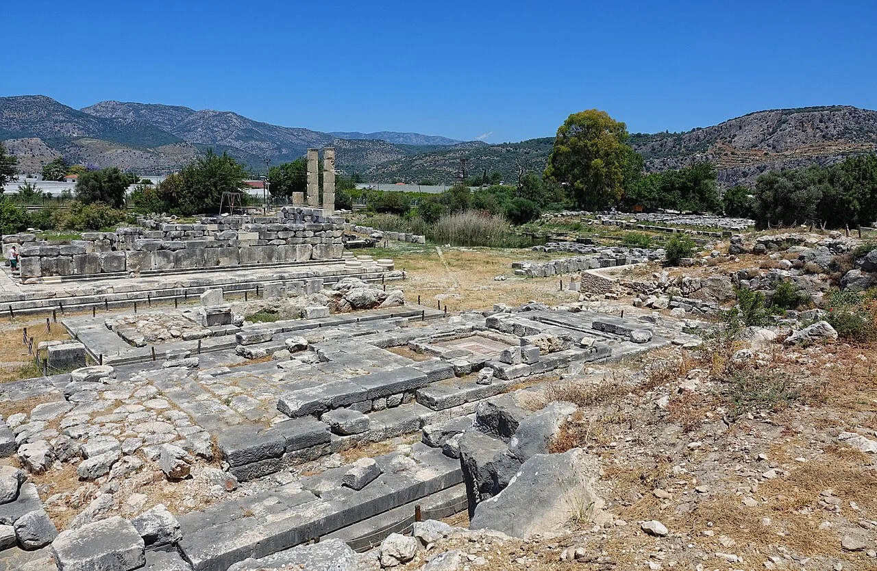 Historical Places
Letoon
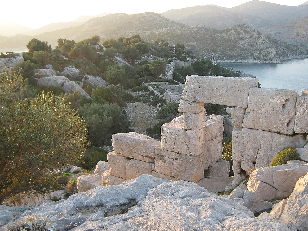 Historical Places
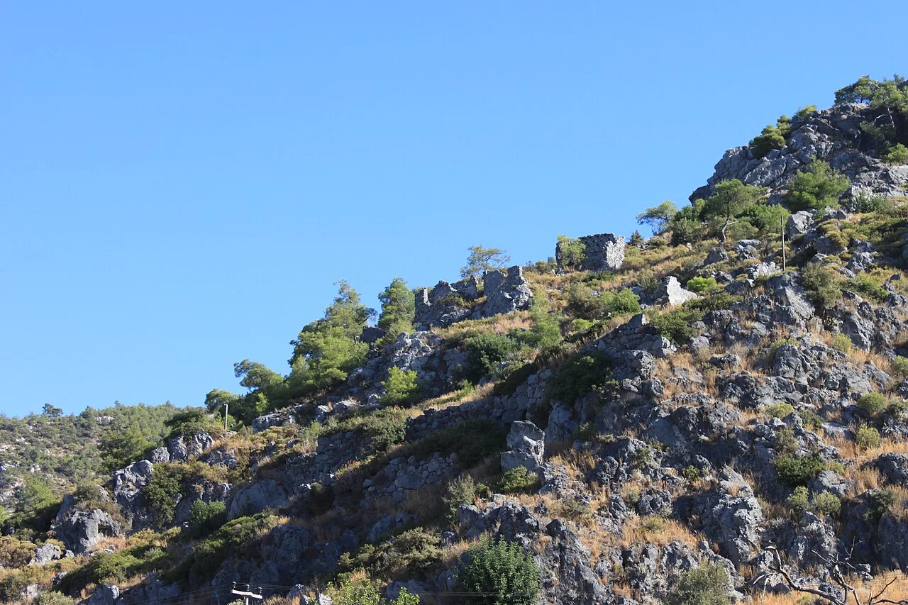 Historical Places
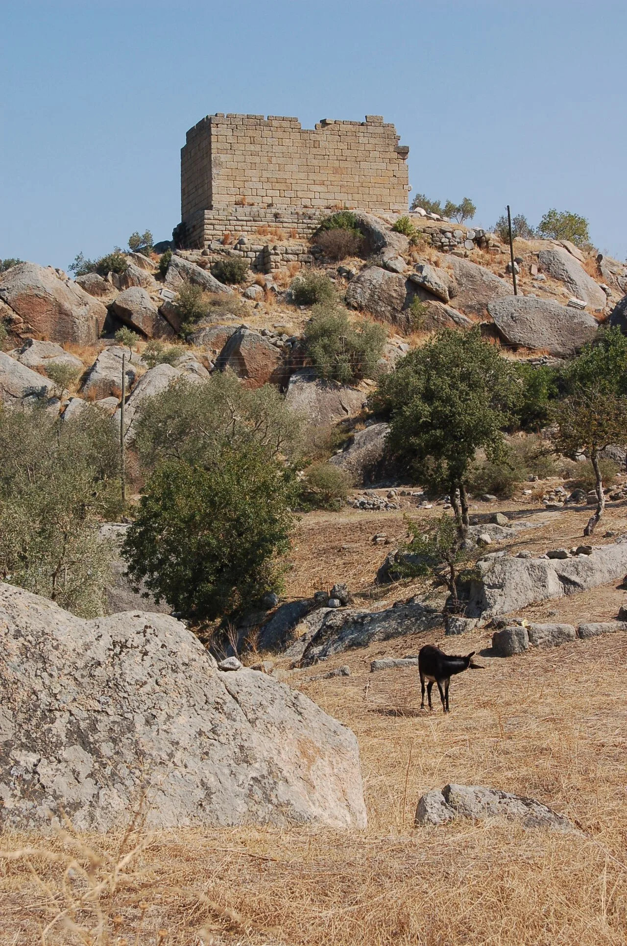 Historical Places
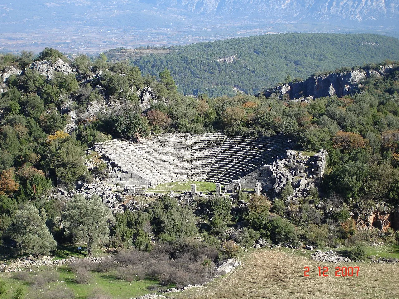 Historical Places
 Historical Places
Tlos
 Historical Places
Frequently Asked Questions
Quick Facts
- Province Muğla
- District Ortaca
- Category Historical Places
- Period Karia · Likya etkisi · Roma
- Opening hours Gündüz saatleri
- Entrance Ücretli
- Visit duration 1,5 saat
- Best season İlkbahar ve sonbahar
- Coordinates 36.82828, 28.62584