About Knidos
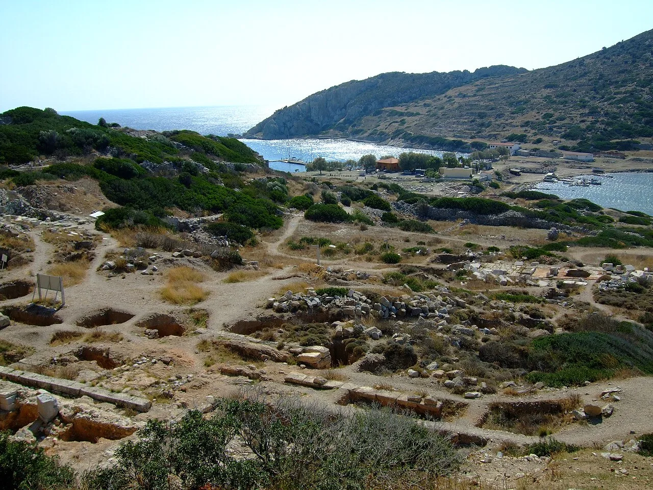
Knidos or Cnidus (; Ancient Greek: Κνίδος, Ancient: [knídos], Modern: [ˈkniðos], Knídos) was a Greek city in ancient Caria and part of the Dorian Hexapolis, in south-western Asia Minor, modern-day Turkey. It was situated on the Datça peninsula, which forms the southern side of the Sinus Ceramicus, now known as Gulf of Gökova. By the 4th century BC, Knidos was located at the site of modern Tekir, opposite Triopion Island. But earlier, it was probably at the site of modern Datça (at the half-way point of the peninsula).
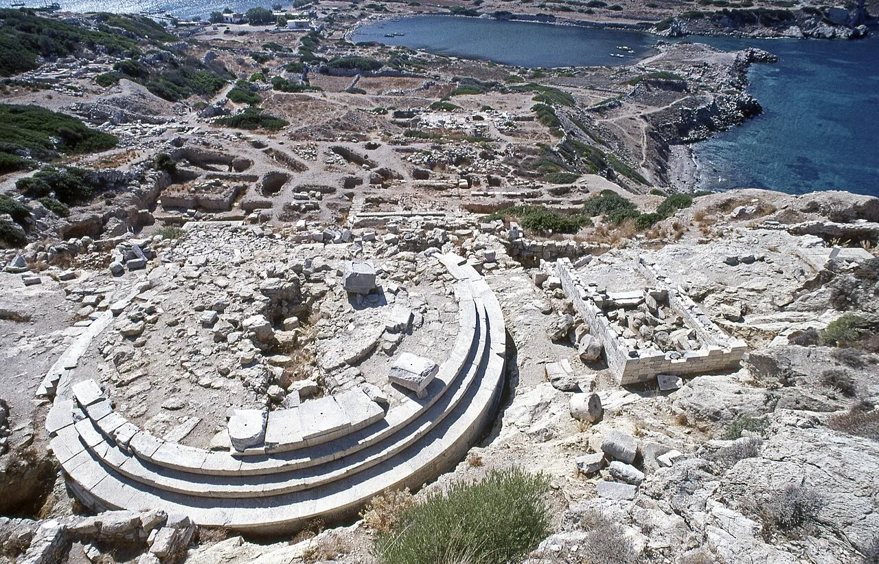
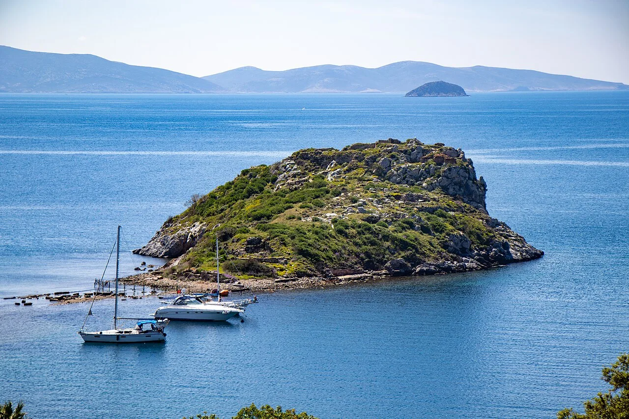
It was built partly on the mainland and partly on the Island of Triopion or Cape Krio. The debate about it being an island or cape is caused by the fact that in ancient times it was connected to the mainland by a causeway and bridge. Today the connection is formed by a narrow sandy isthmus. By means of the causeway the channel between island and mainland was formed into two harbours, of which the larger, or southern, was further enclosed by two strongly built moles that are still in good part entire.
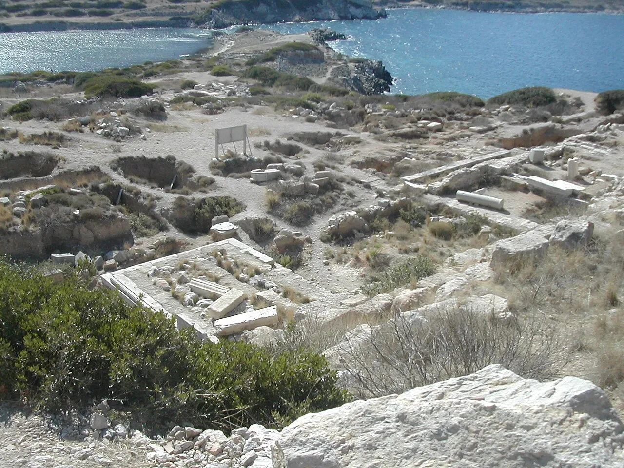
The extreme length of the city was little less than a mile, and the whole intramural area is still thickly strewn with architectural remains. The walls, both of the island and on the mainland, can be traced throughout their whole circuit; and in many places, especially round the acropolis, at the northeast corner of the city, they are remarkably perfect.
This description is taken from Wikipedia and published under the CC BY-SA 4.0 licence. Knidos
Location and Access
Knidos is located in Datça district, Muğla. Coordinates are 36.69017, 27.37164. You can get directions from the map below. You can request a licensed local guide for Muğla.
Places to Visit Near Knidos
 Historical Places
 Historical Places
 Religious Sites
Knidos E Church
 Religious Sites
Knidos D Church
 Religious Sites
Knidos B Church
 Historical Places
 Historical Places
Kumyer Castle
 Nature & Outdoors
Historical Places in Muğla
 Historical Places
 Historical Places
Letoon
 Historical Places
 Historical Places
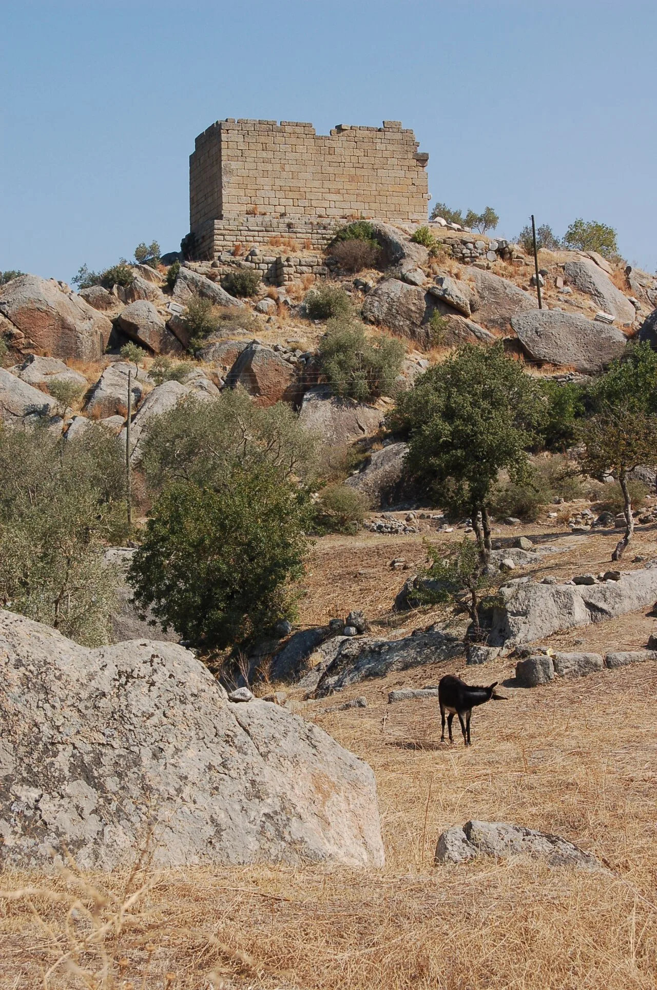 Historical Places
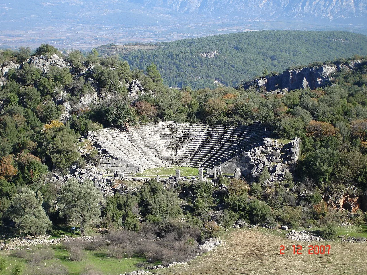 Historical Places
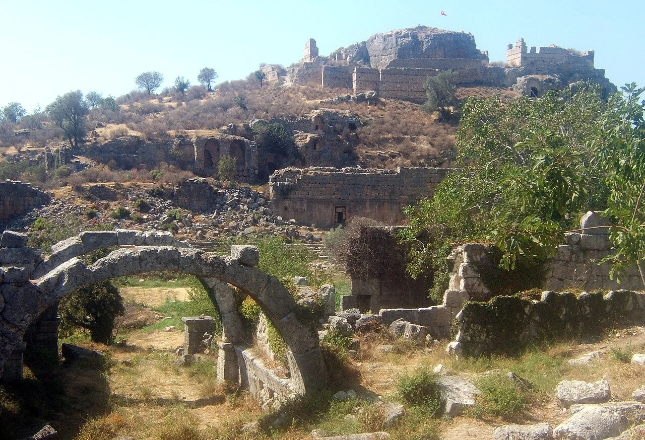 Historical Places
Tlos
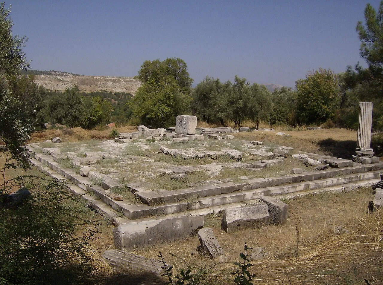 Historical Places
Frequently Asked Questions
Quick Facts
- Province Muğla
- District Datça
- Category Historical Places
- Period Helenistik · Roma
- Opening hours Gündüz saatleri
- Entrance Ücretli
- Visit duration 1,5 saat
- Best season İlkbahar ve sonbahar
- Coordinates 36.69017, 27.37164