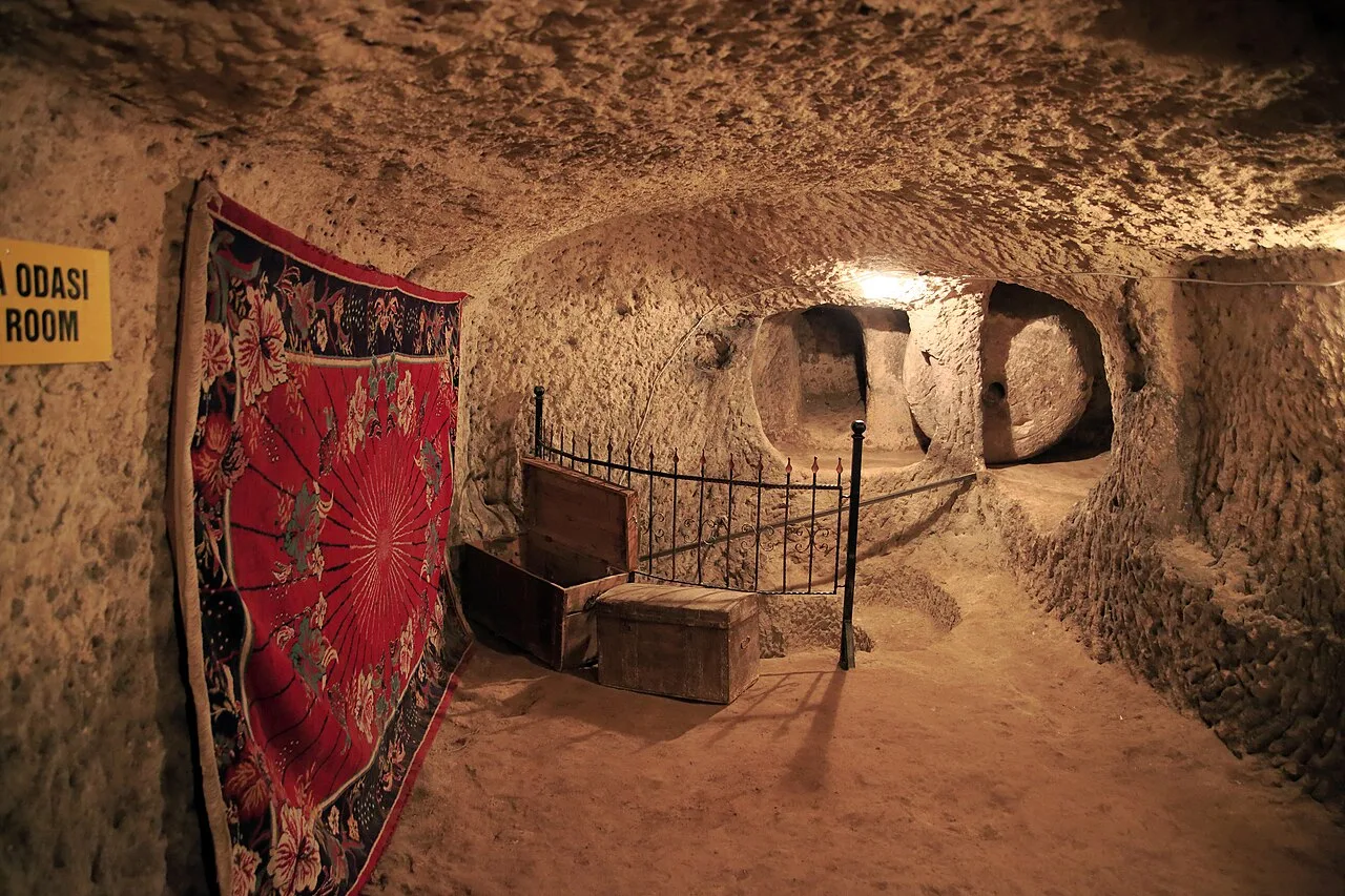
Location and Access
Underground City of Çardak is located in Nevşehir. Coordinates are 38.55115, 34.76799. You can get directions from the map below. You can request a licensed local guide for Nevşehir.
Places to Visit Near Underground City of Çardak
 Nature & Outdoors
3.4 km
 Historical Places
8.2 km
 Historical Places
8.2 km
 Religious Sites
8.4 km
 Religious Sites
8.4 km
 Nature & Outdoors
8.5 km
 Religious Sites
8.6 km
 Religious Sites
8.6 km
Historical Places in Nevşehir
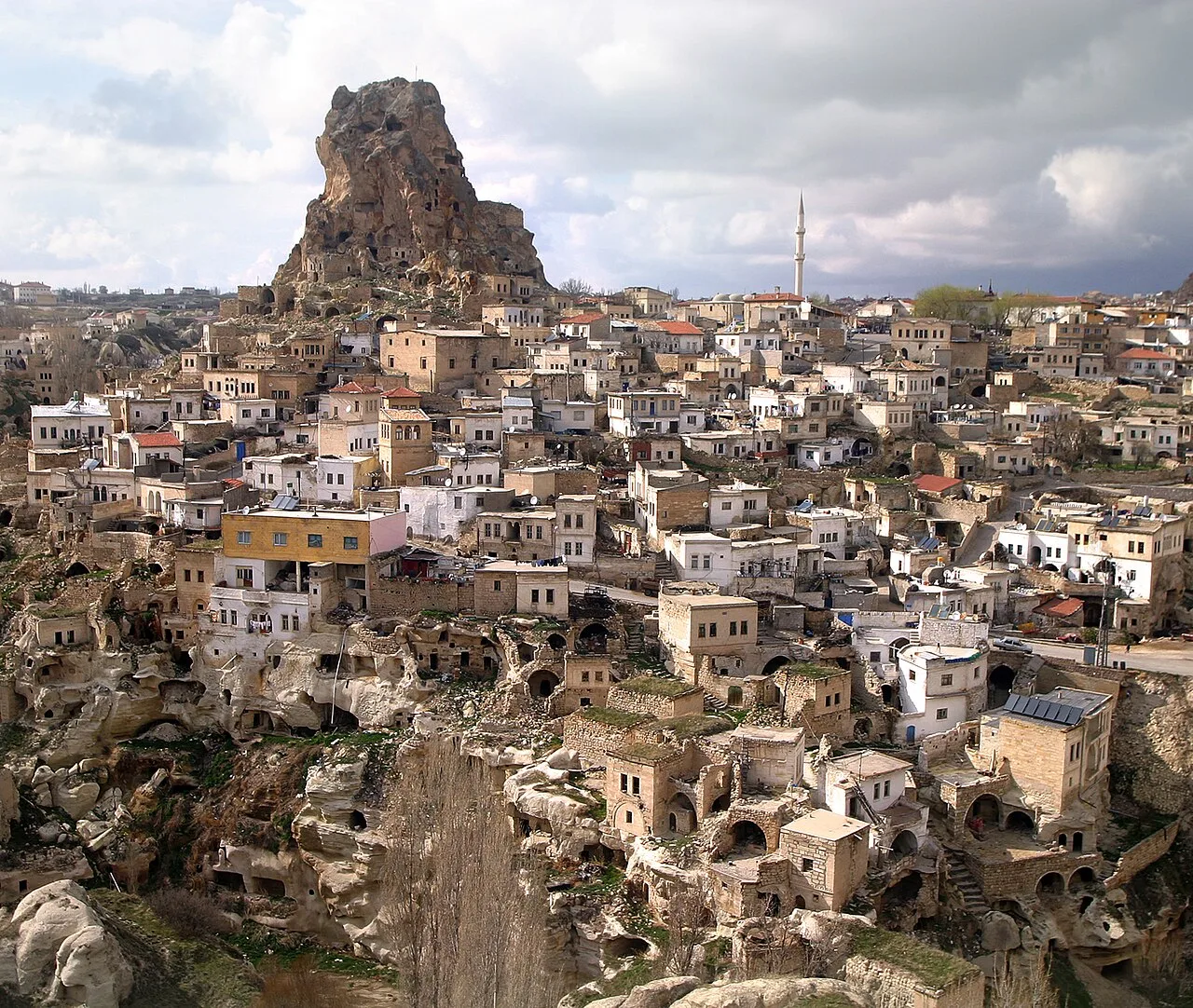 Historical Places
Ortahisar Castle
Ürgüp Bizans dönemi kaya kalesi
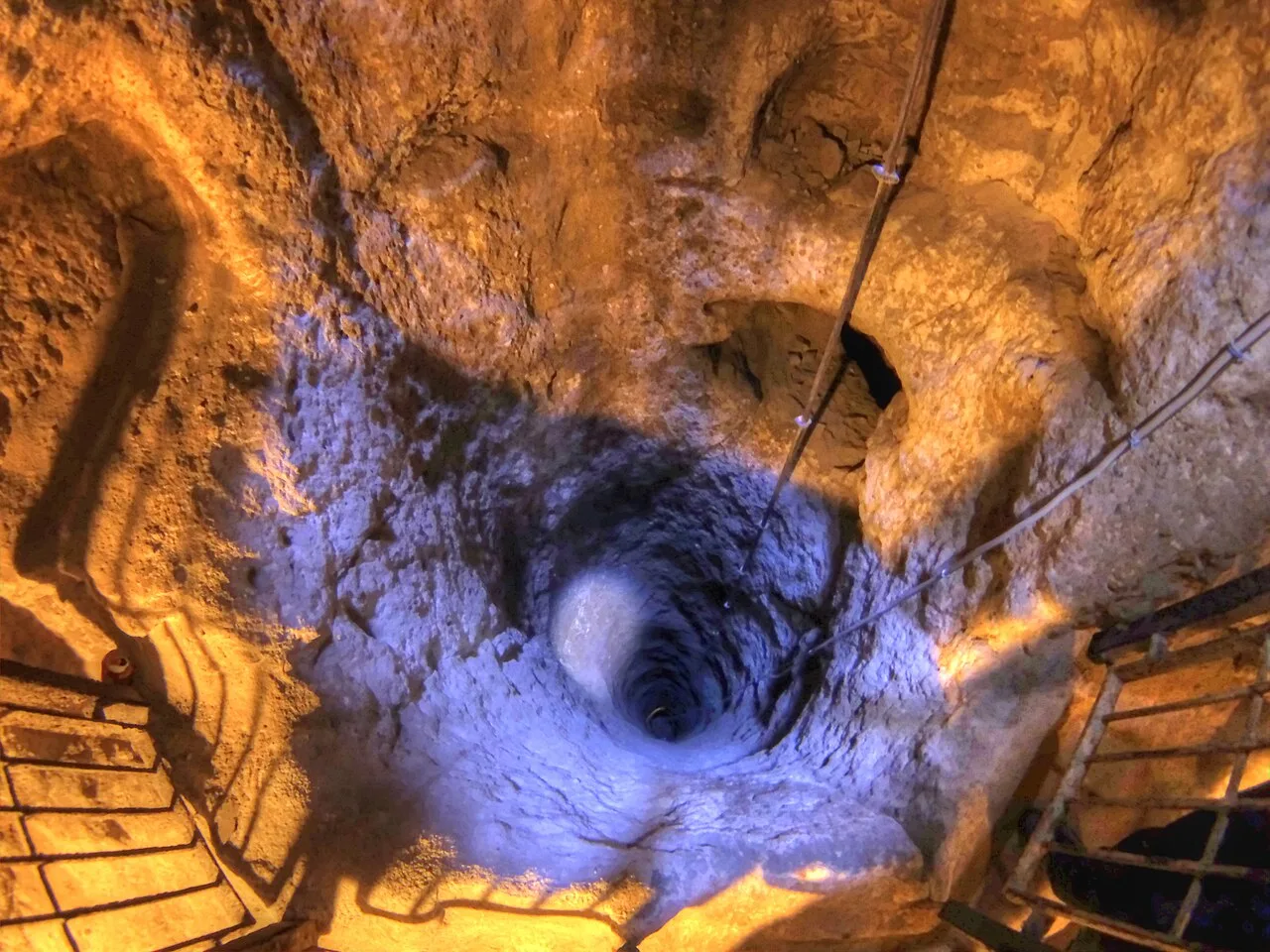 Historical Places
Derinkuyu Underground City
Derinkuyu Frig kökenli · Bizans döneminde genişletildi
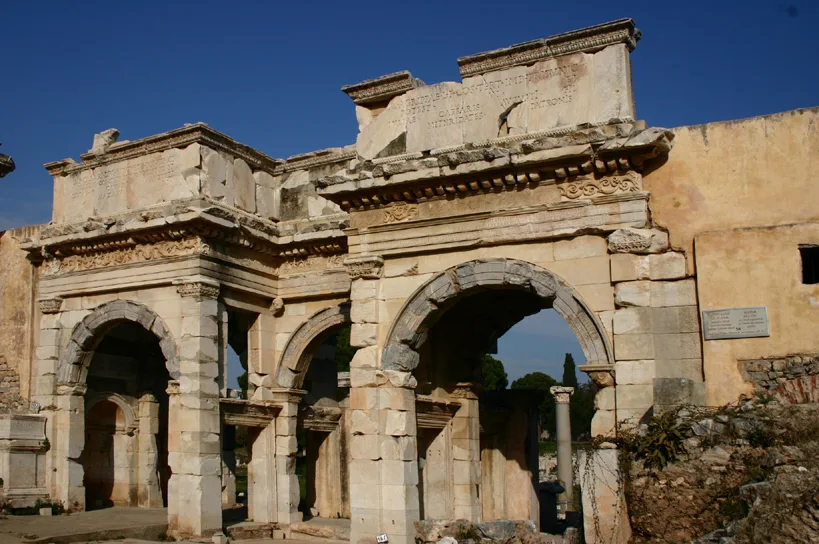 Historical Places
Mazı Underground City
Ürgüp Roma · Bizans
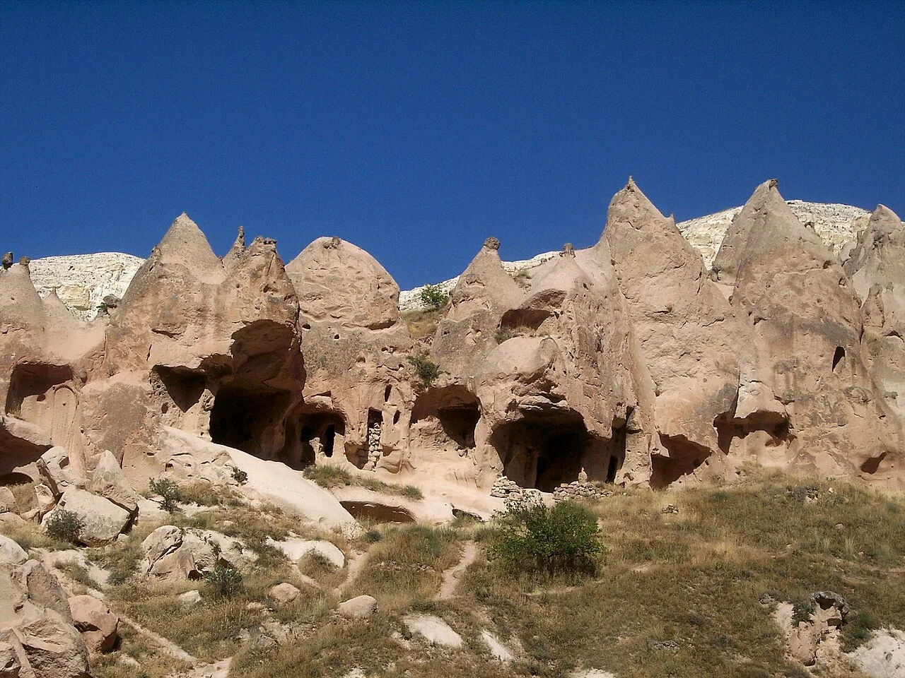 Historical Places
Zelve Open Air Museum
Avanos Bizans · Osmanlı · 1950’lere kadar iskân
 Historical Places
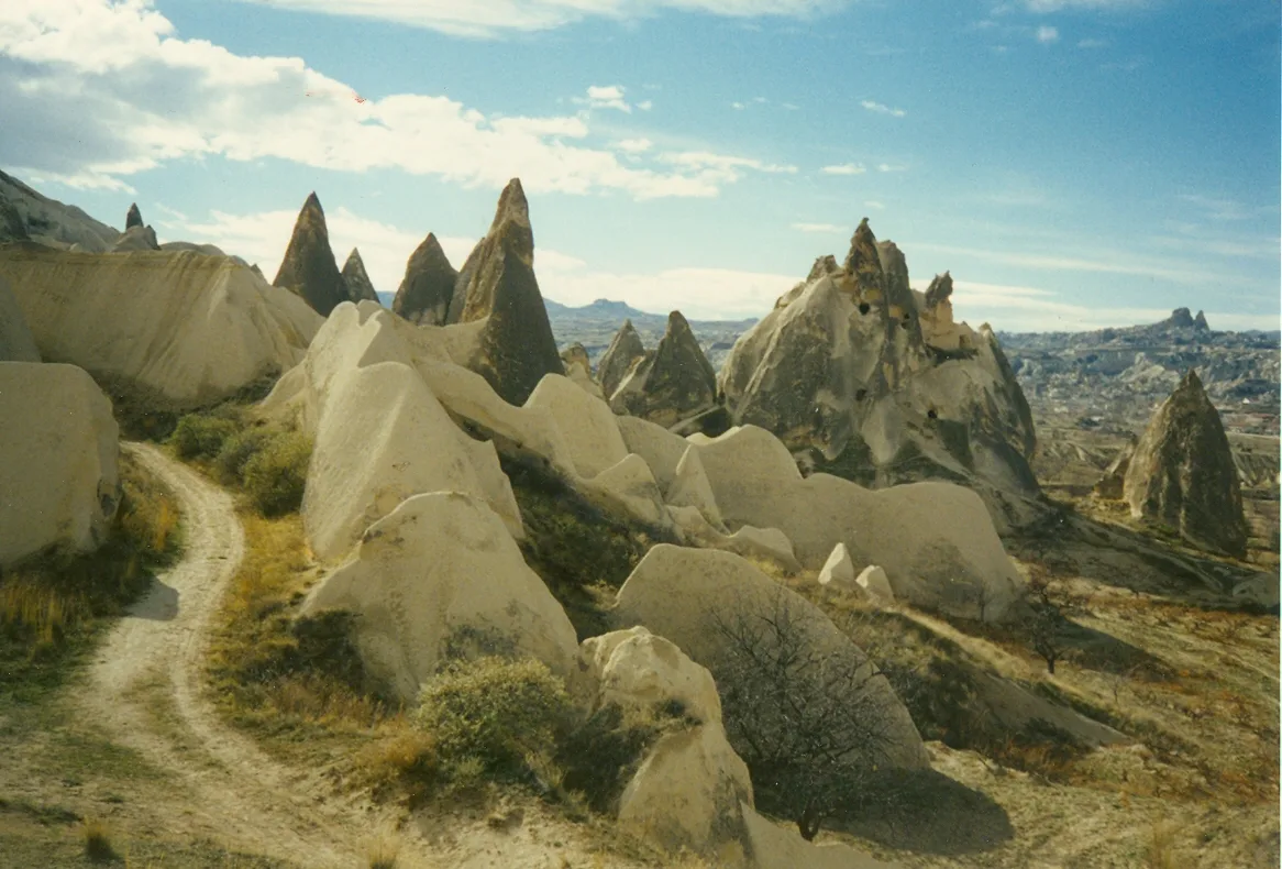
Göreme National Park
Merkez Roma · Bizans · kaya oyma yerleşim
 Historical Places
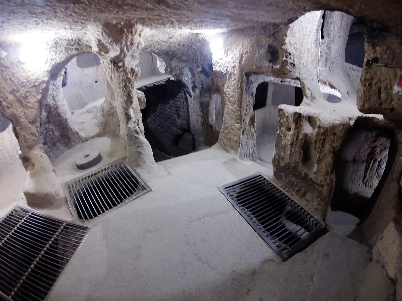
Kaymaklı Underground City
Derinkuyu Bizans dönemi kullanımı ağırlıklı
 Historical Places
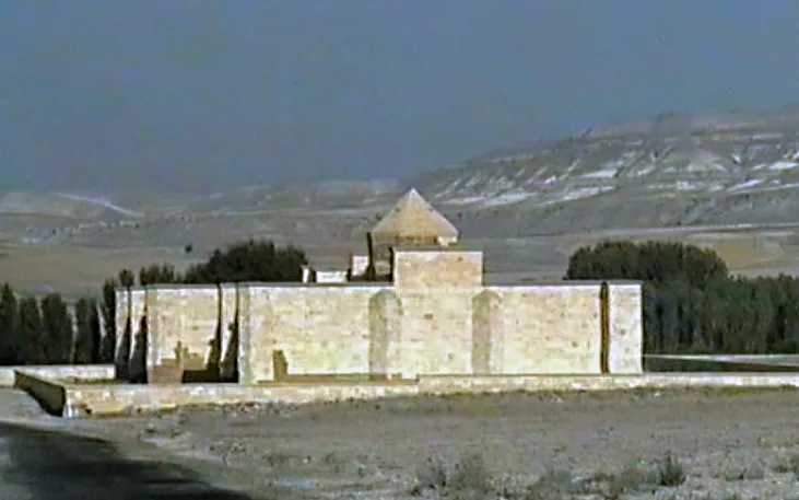
Sarıhan Caravanserai
Avanos Selçuklu · 1249
 Historical Places
Frequently Asked Questions
Underground City of Çardak is located in Nevşehir. Coordinates: 38.55115, 34.76799.
A visit of 1-2 hours is usually enough; it can be combined with other stops nearby into a half-day route.
Yes. You can request a licensed local guide in Nevşehir and visit Underground City of Çardak with a professional tour guide.
Quick Facts
- Province Nevşehir
- Category Historical Places
- Coordinates 38.55115, 34.76799
Request a Guided Tour
Visit Underground City of Çardak with a licensed professional guide in Nevşehir.
See guides in Nevşehir