About Kayakapı
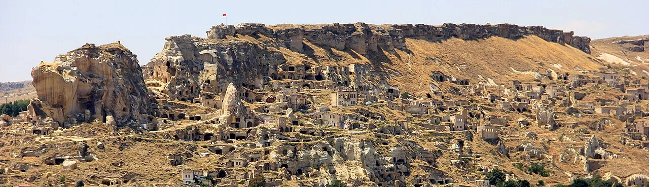
The Kayakapi neighbourhood of Ürgüp, Turkey is a historical area located on the northeastern slope of a hill known as Esbelli. It features many examples of vernacular and monumental architecture, including the House of Saint John the Russian (Yuhannes). Abandoned after the 1980s, the semi-ruins and natural landscape of Kayakapi are now being developed for tourism.
The geographical context within which Kayakapi Neighbourhood is located is characterized by a semi-mountainous landscape and volcanic tuff, pumice and basalt rocks. The fairy chimneys uniquely found in this region of Anatolia and the tradition of rock-carved houses are a result of the nature of this special kind of soft tuff stone.
The most prominent river in the province is Kızılırmak (Halys), with secondary rivers flowing down from Hodul Mountain (1.949m) and joining it; among these, Damsa river is also the site of the region's only lake and the valley on which Ürgüp is situated.
A severe inland climate dominates the area, with seasonal and day-to-night temperature differences exceeding 20 °C. However, these differences are only about 3 – 4 °C in caves and underground cities, creating natural storage...
This description is taken from Wikipedia and published under the CC BY-SA 4.0 licence. Kayakapı
Location and Access
Kayakapı is located in Ürgüp district, Nevşehir. Coordinates are 38.63463, 34.90587. You can get directions from the map below. You can request a licensed local guide for Nevşehir.
Places to Visit Near Kayakapı
 Historical Places
Yunak Fountain
 Religious Sites
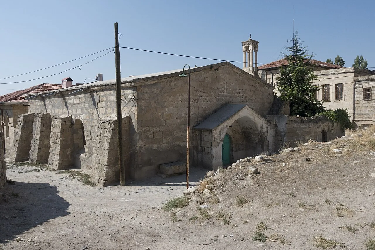
Yunak Mosque
 Religious Sites
 Historical Places
Burhankale Fountain
 Historical Places
Musa Efendi Fountain
 Historical Places
Pancarci Fountain
 Religious Sites
 Religious Sites
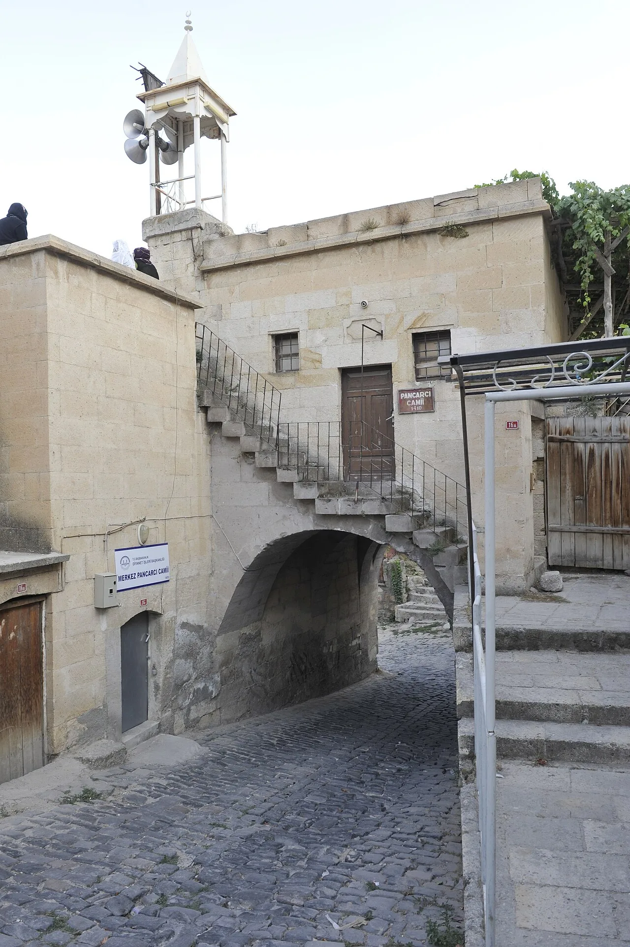
Pancarcı Mosque
Historical Places in Nevşehir
 Historical Places
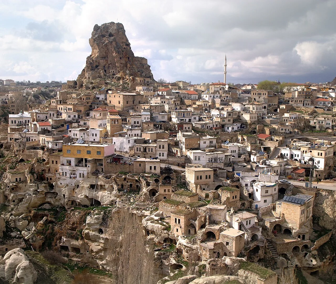
Ortahisar Castle
 Historical Places
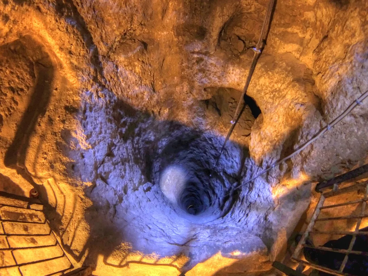
Derinkuyu Underground City
 Historical Places
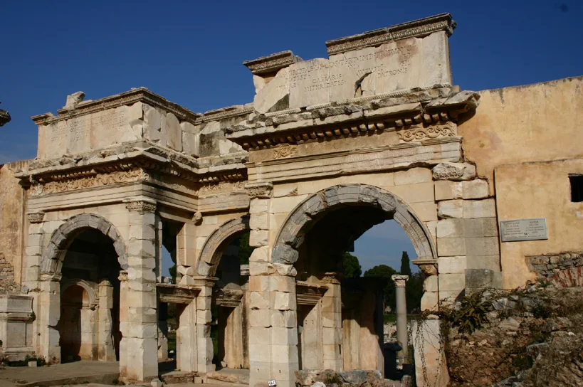
Mazı Underground City
 Historical Places
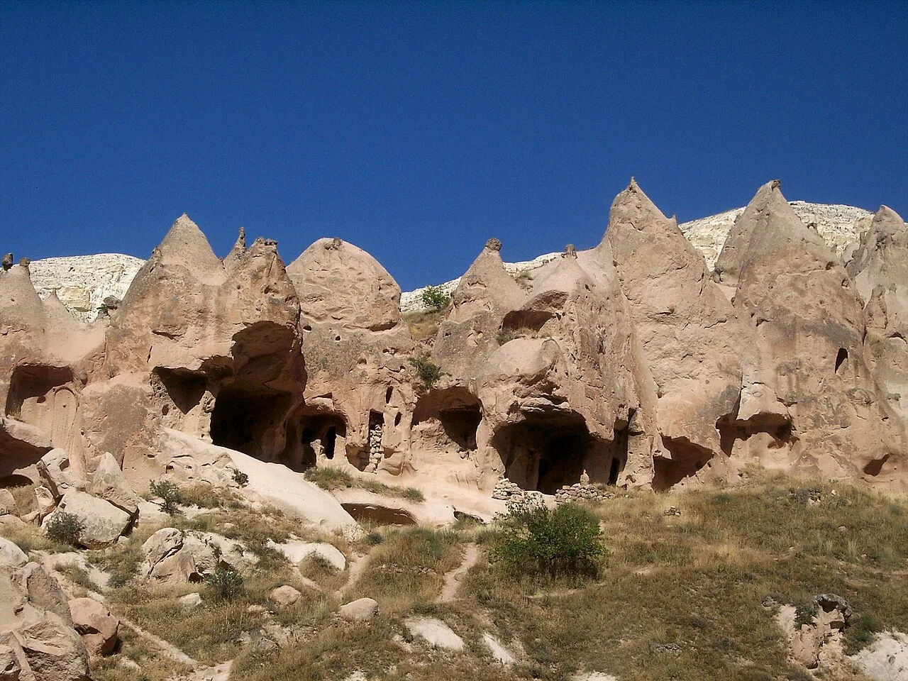
Zelve Open Air Museum
 Historical Places
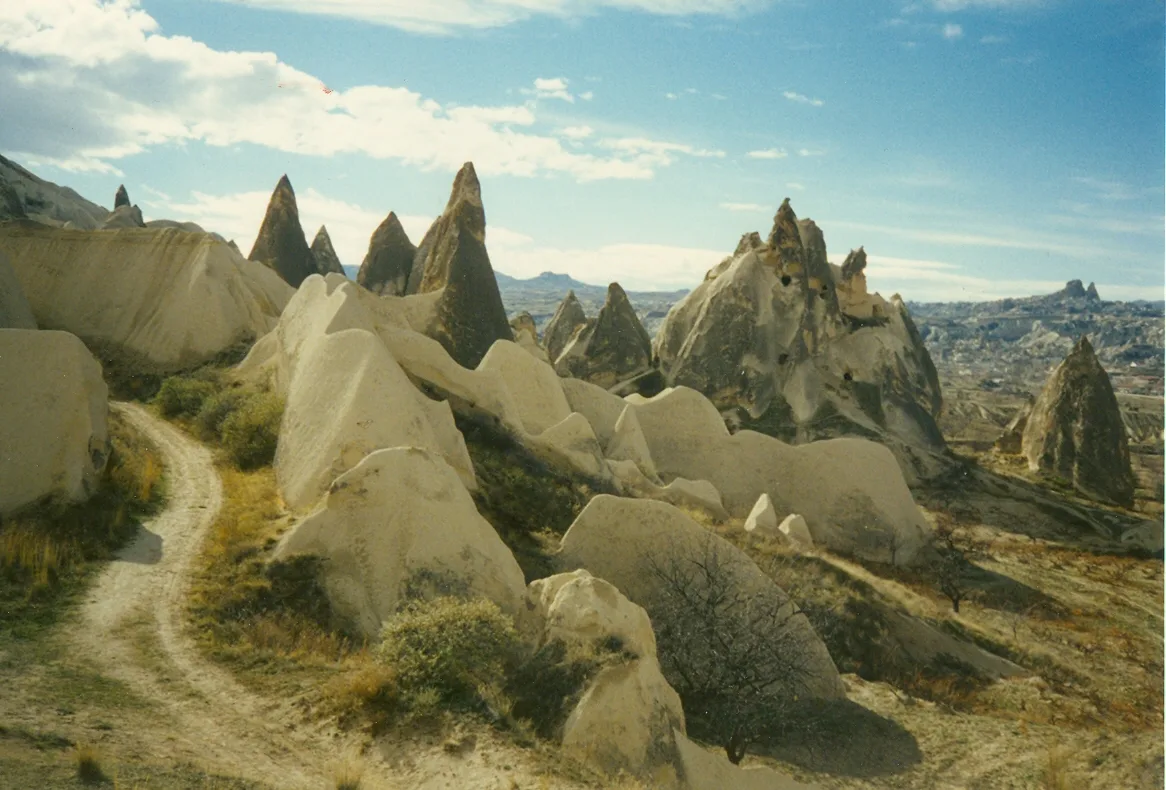
Göreme National Park
 Historical Places
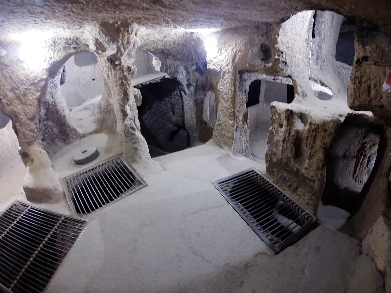
Kaymaklı Underground City
 Historical Places
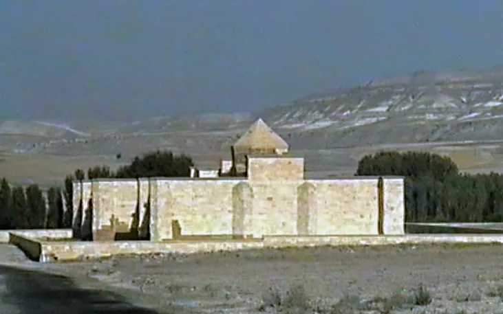
Sarıhan Caravanserai
 Historical Places
Frequently Asked Questions
Quick Facts
- Province Nevşehir
- District Ürgüp
- Category Historical Places
- Coordinates 38.63463, 34.90587
Request a Guided Tour
Visit Kayakapı with a licensed professional guide in Nevşehir.
See guides in Nevşehir