
About Nerik
Nerik (Hittite: Nerik(ka)) was a Bronze Age settlement to the north of the Hittite capitals Hattusa and Sapinuwa, probably in the Pontic region. Since 2005–2009, the site of Nerik has been identified as Oymaağaç Höyük, on the eastern side of the Kızılırmak River, 7 km (4.3 mi) northwest of Vezirköprü.
This description is taken from Wikipedia and published under the CC BY-SA 4.0 licence. Nerik
Location and Access
Nerik is located in Vezirköprü district, Samsun. Coordinates are 41.20700, 35.42000. You can get directions from the map below. You can request a licensed local guide for Samsun.
Places to Visit Near Nerik
 Nature & Outdoors
 Nature & Outdoors
 Historical Places
Çeşme (Mustafa Tunç Caddesi)
 Religious Sites
Tacettin Pasha Mosque, Vezirköprü
 Historical Places
Tacettin Paşa Camii Çeşmesi
 Historical Places
Taşhan (Vezirköprü)
 Historical Places
Vezirköprü 1118. Sokak Çeşmesi
 Historical Places
1107th Street Fountain
Historical Places in Samsun
 Historical Places
 Historical Places
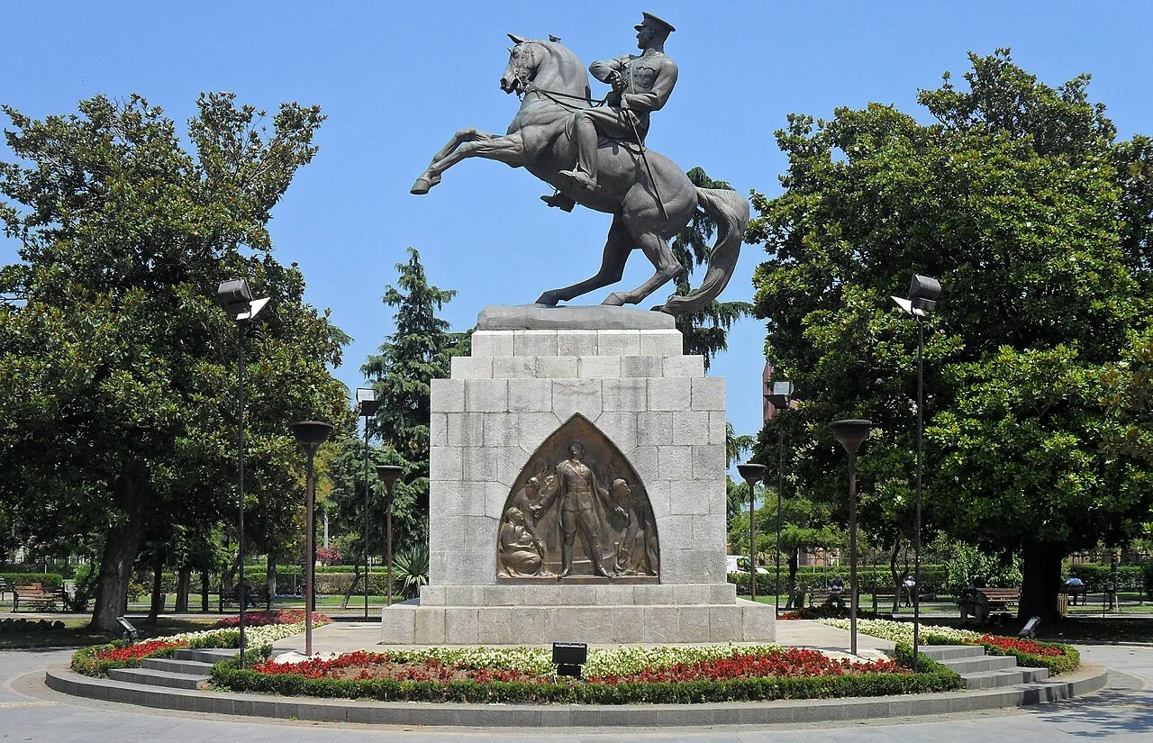
Statue of Honor
 Historical Places
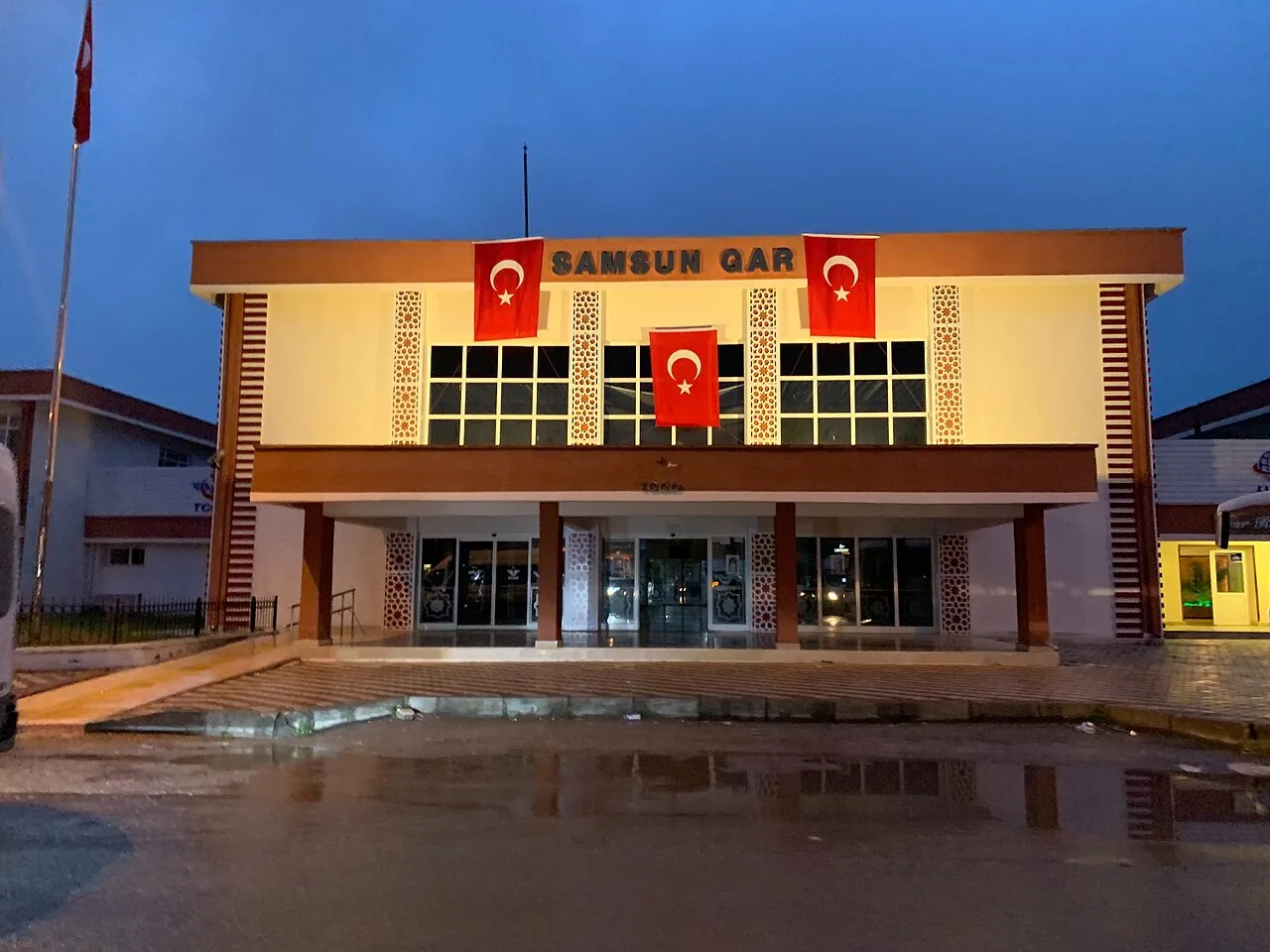 Historical Places
Samsun railway station
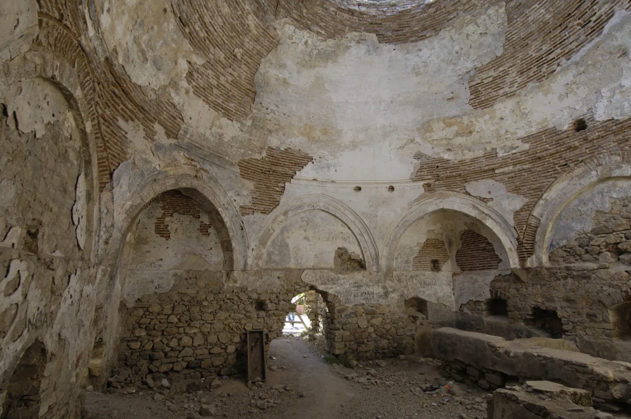 Historical Places
Kale Baths
 Historical Places
Phazemon
 Historical Places
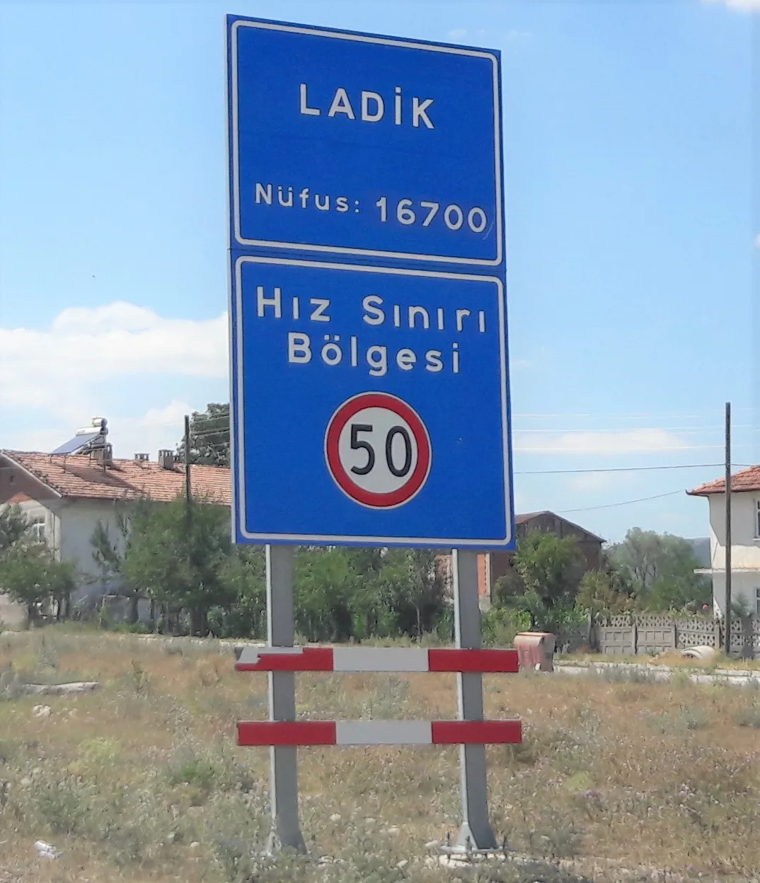 Historical Places
Ladik Train Station
Frequently Asked Questions
Quick Facts
- Province Samsun
- District Vezirköprü
- Category Historical Places
- Coordinates 41.20700, 35.42000
Request a Guided Tour
Visit Nerik with a licensed professional guide in Samsun.
See guides in Samsun