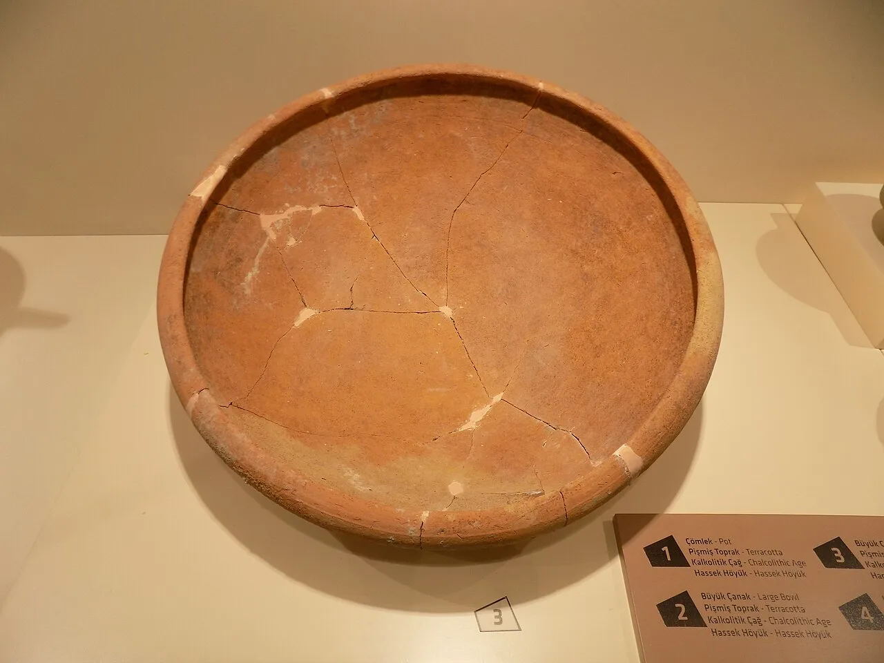
About Hassek Höyük
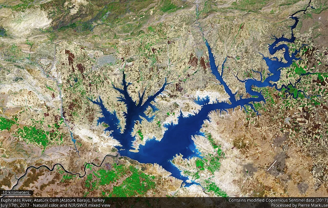
Hassek Höyük (also Hassek Hüyük) is an ancient Near East archaeological site, located on the left bank of the Euphrates River in the Şanlıurfa Province of southeastern Turkey. It was excavated in a salvage effect due to flooding caused by the Atatürk Dam (originally the Karababa Dam). Hassek Höyük lies 20 kilometers south of the castle of Gerger, site of the Battle of Gerger. It is halfway between the villages Asagi Tillakin and Yukari Tillakin. A Halaf period archaeological site, Cavi Tarlasi, is 4.5 kilometers to the west. For this period the area is considered to be part of Upper Mesopotamia. The site is now completely underwater. The notable archaeological sites of Lidar Höyük and Kurban Höyük were also inundated at that time.
This description is taken from Wikipedia and published under the CC BY-SA 4.0 licence. Hassek Höyük
Location and Access
Hassek Höyük is located in Şanlıurfa. Coordinates are 38.92278, 37.74833. You can get directions from the map below. You can request a licensed local guide for Şanlıurfa.
Places to Visit Near Hassek Höyük
 Nature & Outdoors
 Nature & Outdoors
 Nature & Outdoors
Buk û Zava
 Nature & Outdoors
 Historical Places
Nevalı Çori
 Nature & Outdoors
 Nature & Outdoors
 Historical Places
Yaylak Höyüğü
Historical Places in Şanlıurfa
 Historical Places
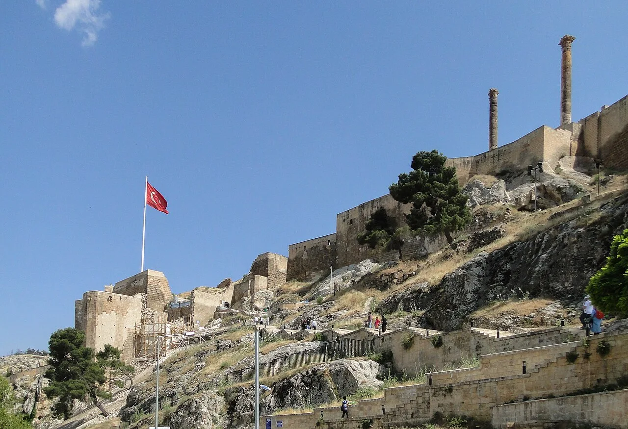
Edessa
 Historical Places
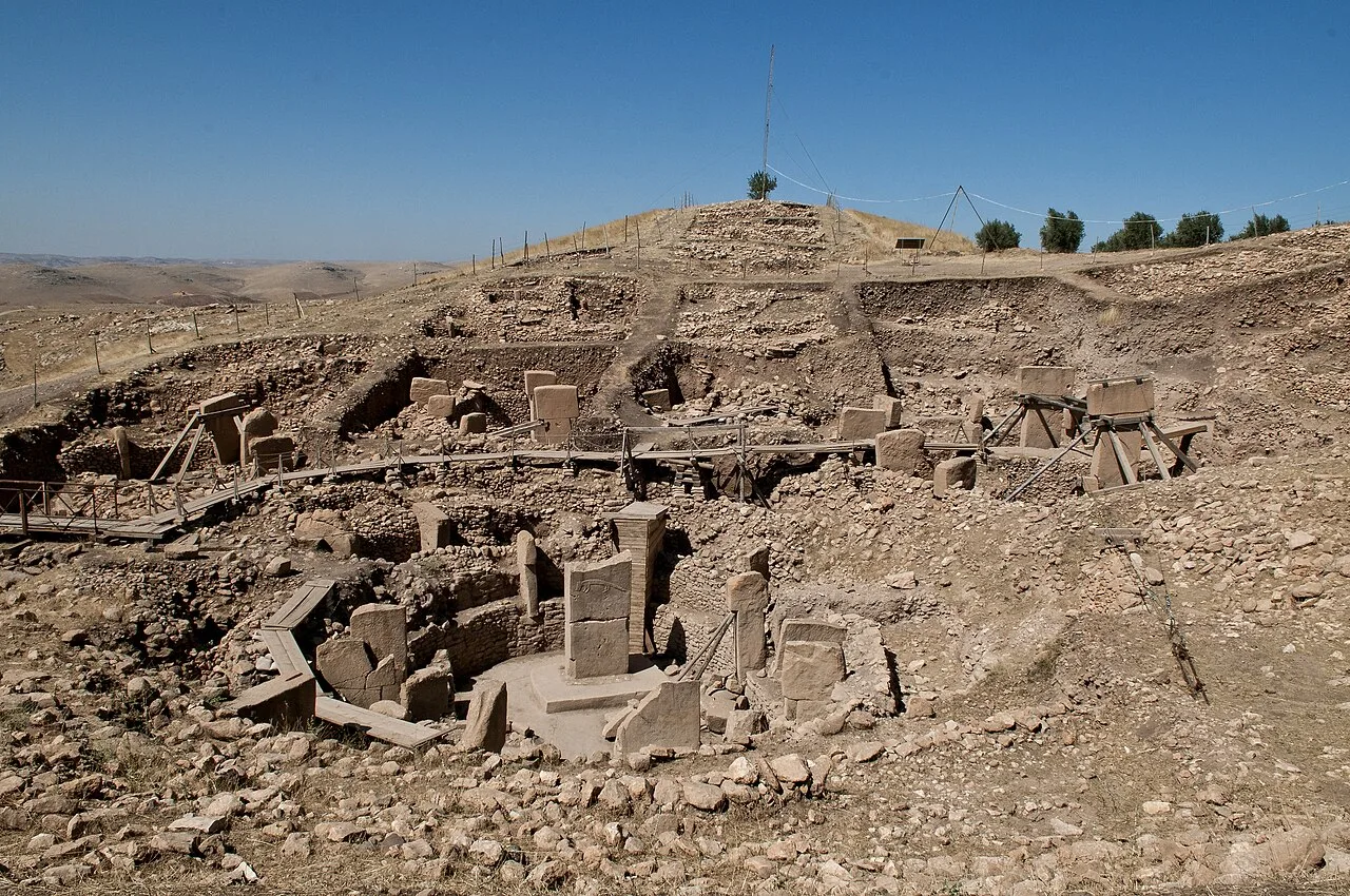
Göbekli Tepe
 Historical Places
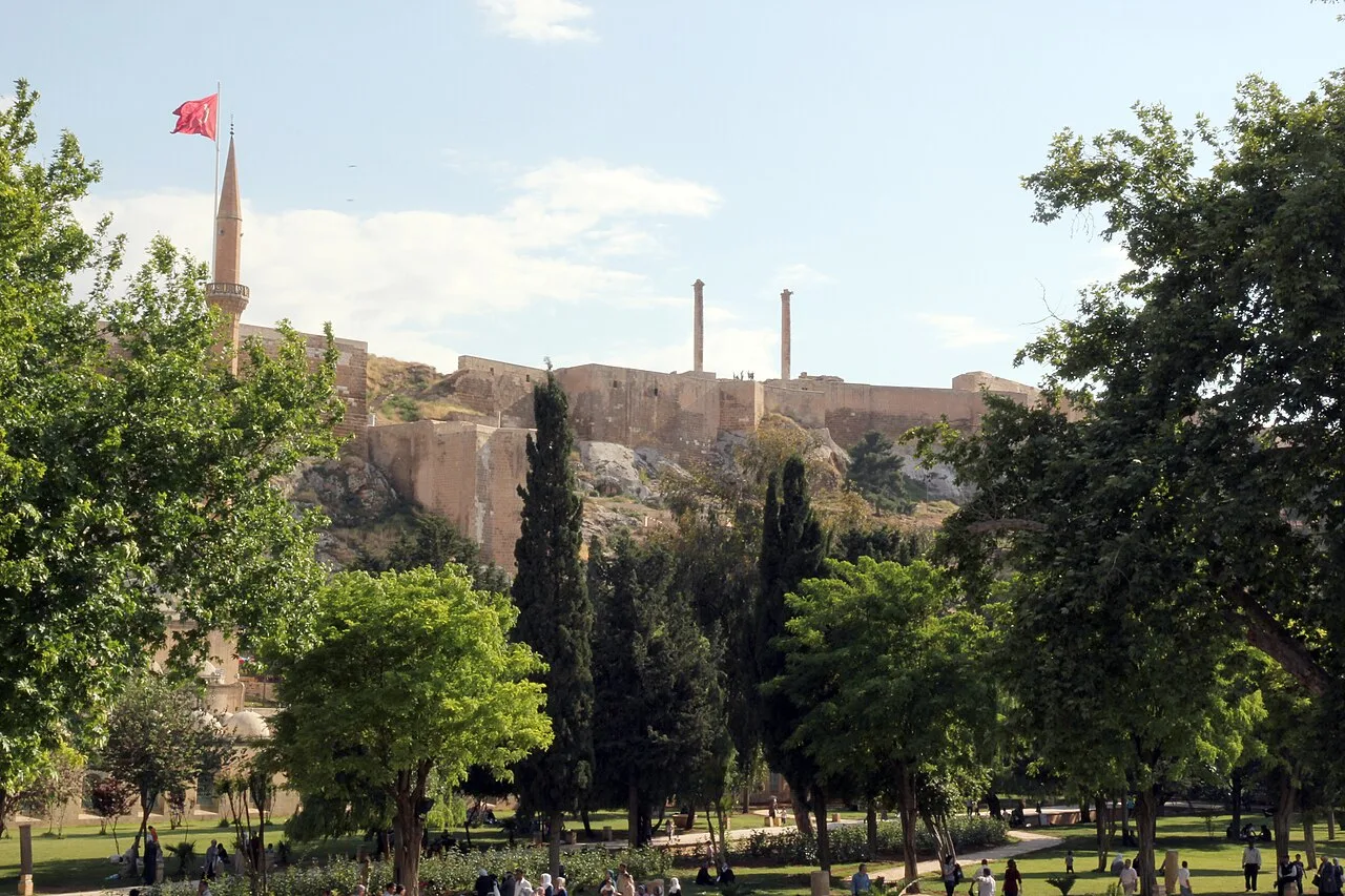
Şanlıurfa Castle
 Historical Places
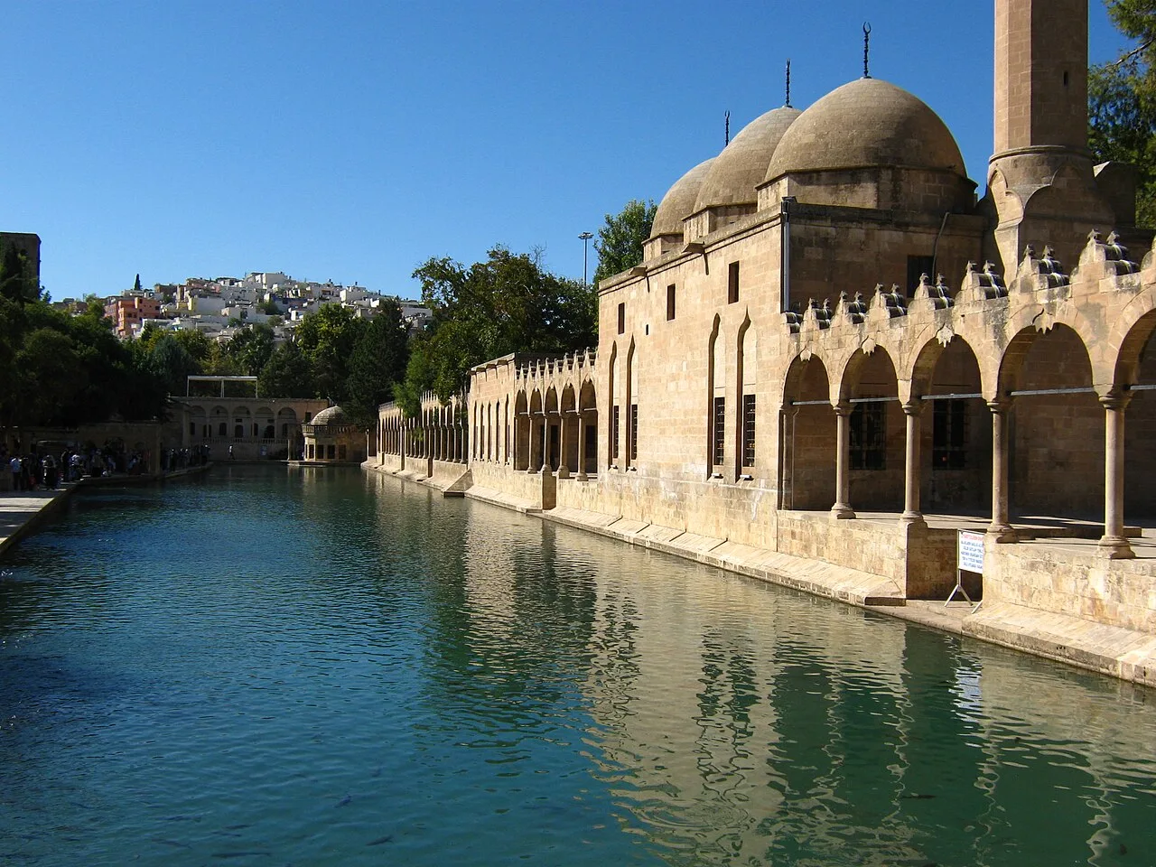
Balıklıgöl (Pool of Abraham)
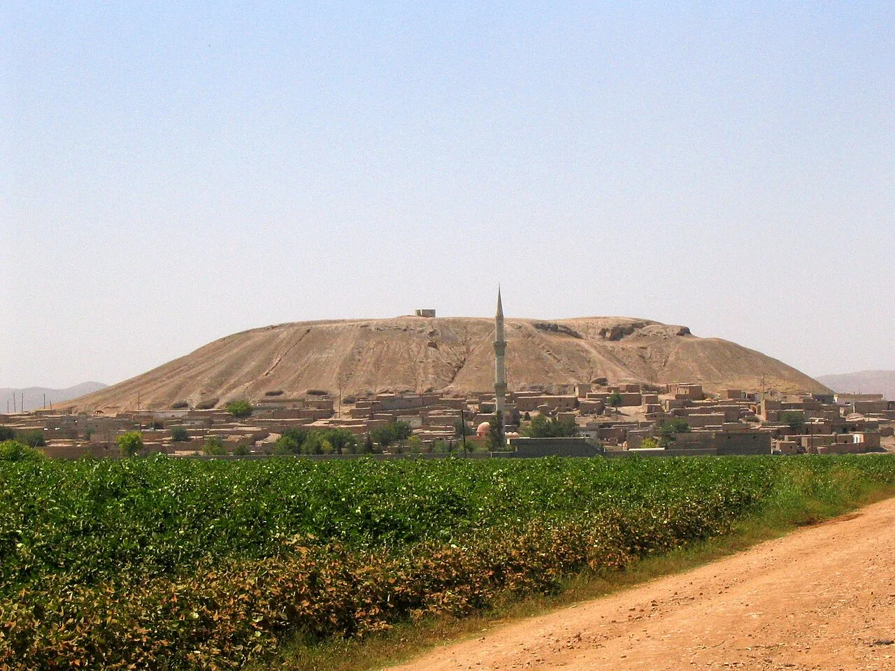 Historical Places
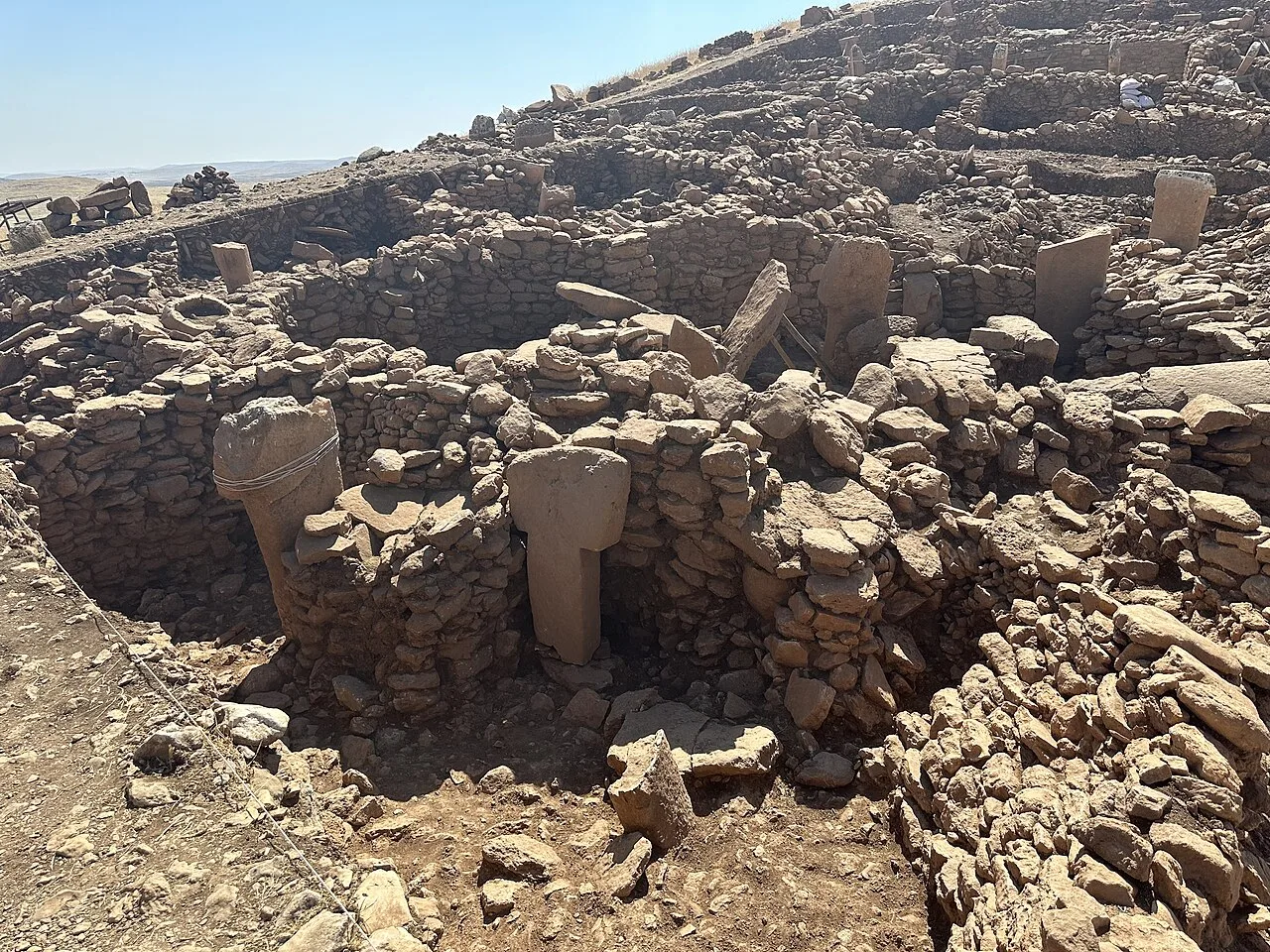 Historical Places
Karahan Tepe
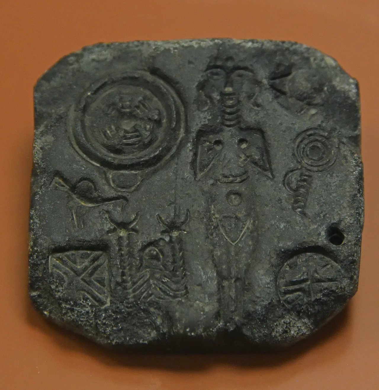 Historical Places
Titriş Höyük
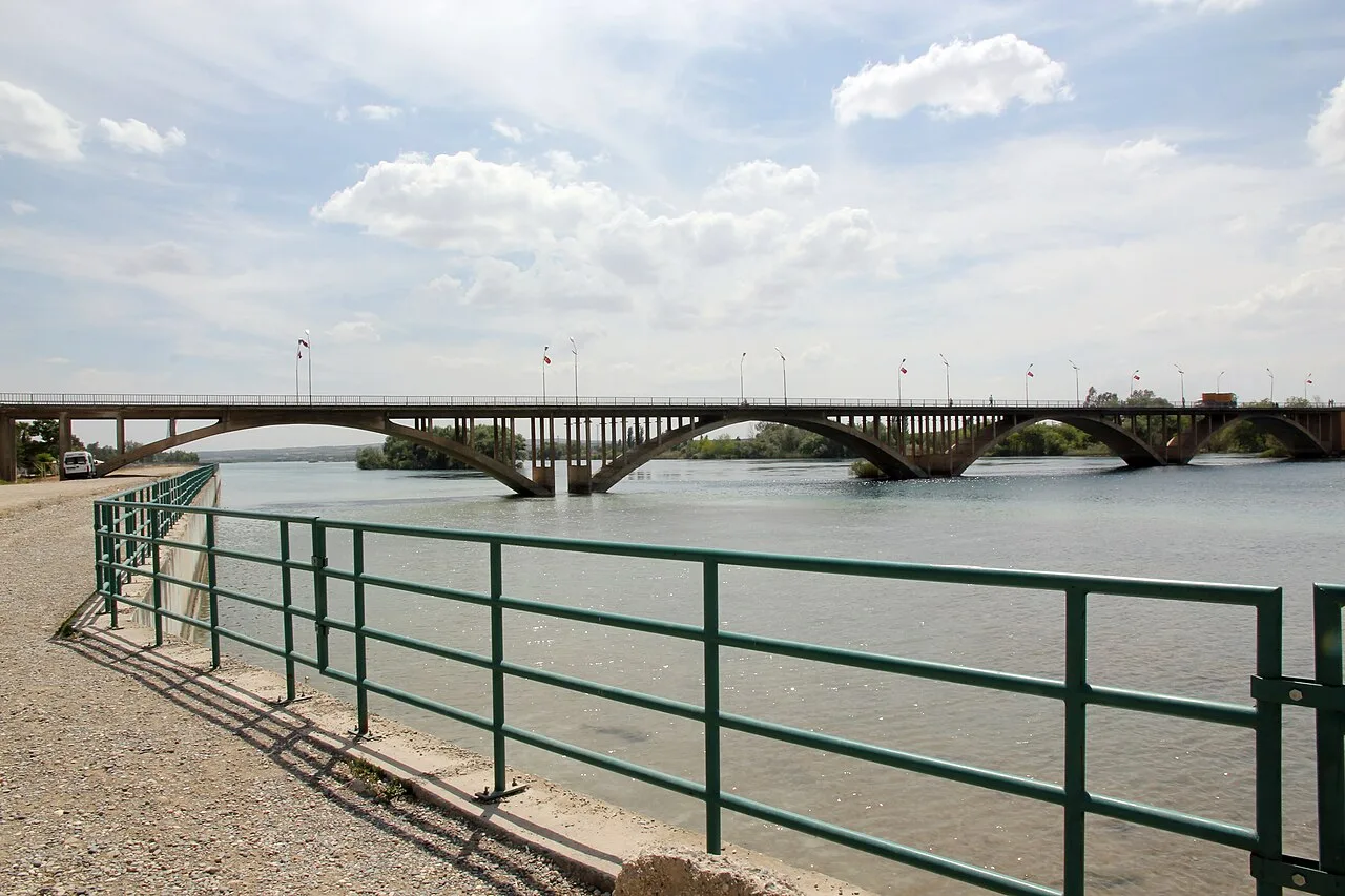 Historical Places
Birecik Bridge
Frequently Asked Questions
Quick Facts
- Province Şanlıurfa
- Category Historical Places
- Coordinates 38.92278, 37.74833
Request a Guided Tour
Visit Hassek Höyük with a licensed professional guide in Şanlıurfa.
See guides in Şanlıurfa