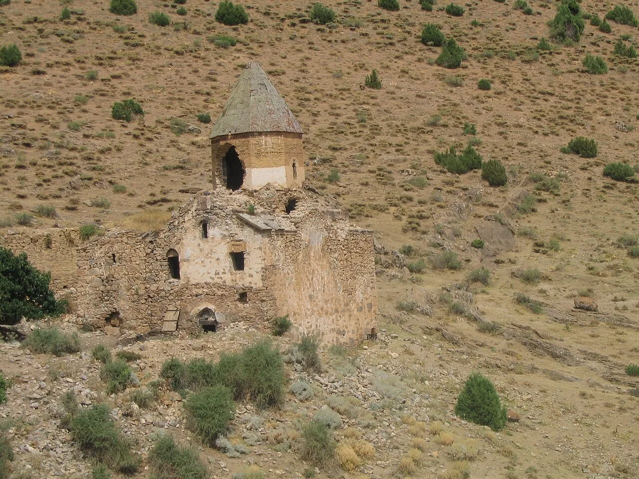
About Karmravank
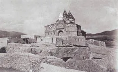
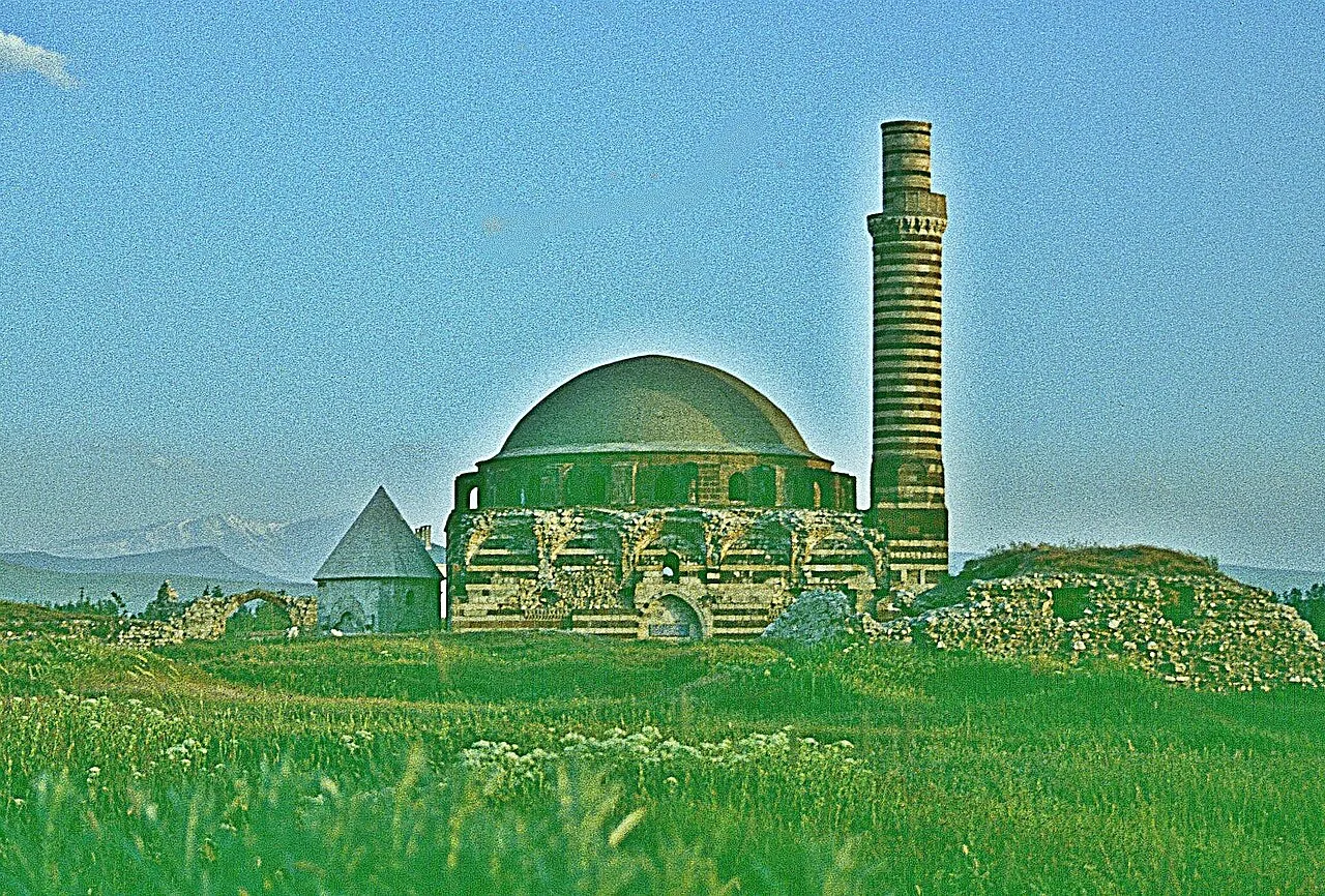
Karmravank (Armenian: Կարմրավանք, meaning Red Monastery) is an abandoned 10th century Armenian monastery in the Vaspurakan province of historic Armenia (now in the Van Province of Turkey). It was founded by King Gagik I (908–943) of the Artsruni dynasty. It is located 12 kilometers west-northwest of Akdamar Island.
Completed in the 10th century AD, the Red Monastery ceased functioning as a monastery due to the Armenian genocide in the Ottoman Empire which began in 1915. It got ruined and now only concists of the Holy Cross church.
This description is taken from Wikipedia and published under the CC BY-SA 4.0 licence. Karmravank
Location and Access
Karmravank is located in Van. Coordinates are 38.37232, 42.90428. You can get directions from the map below. You can request a licensed local guide for Van.
Places to Visit Near Karmravank
 Religious Sites
Monastery of Karmrakvank
 Religious Sites
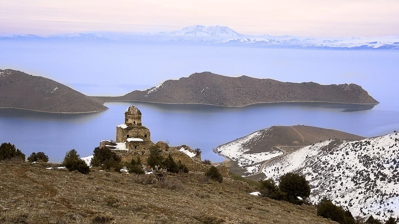
St. Thomas Monastery, Van
 Nature & Outdoors
 Religious Sites
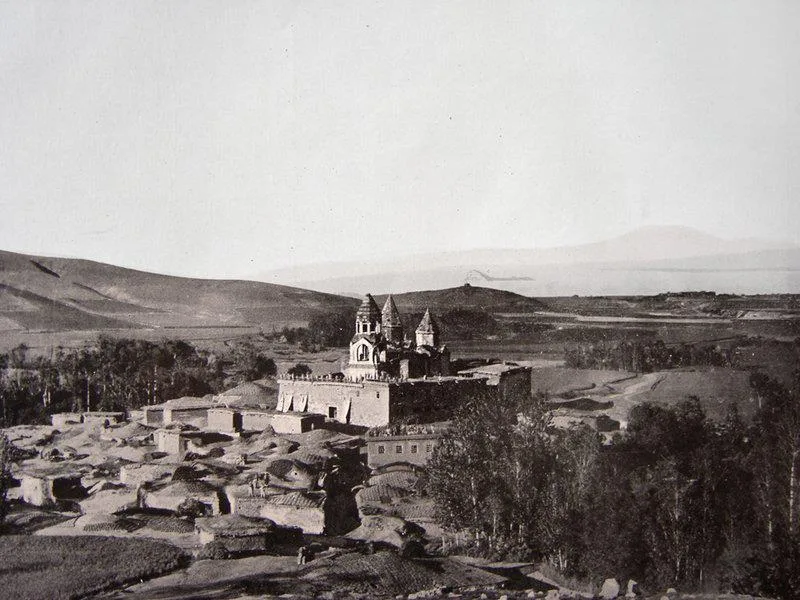
Narekavank
 Religious Sites
İnköy Köyiçi Kilisesi
 Nature & Outdoors
 Nature & Outdoors
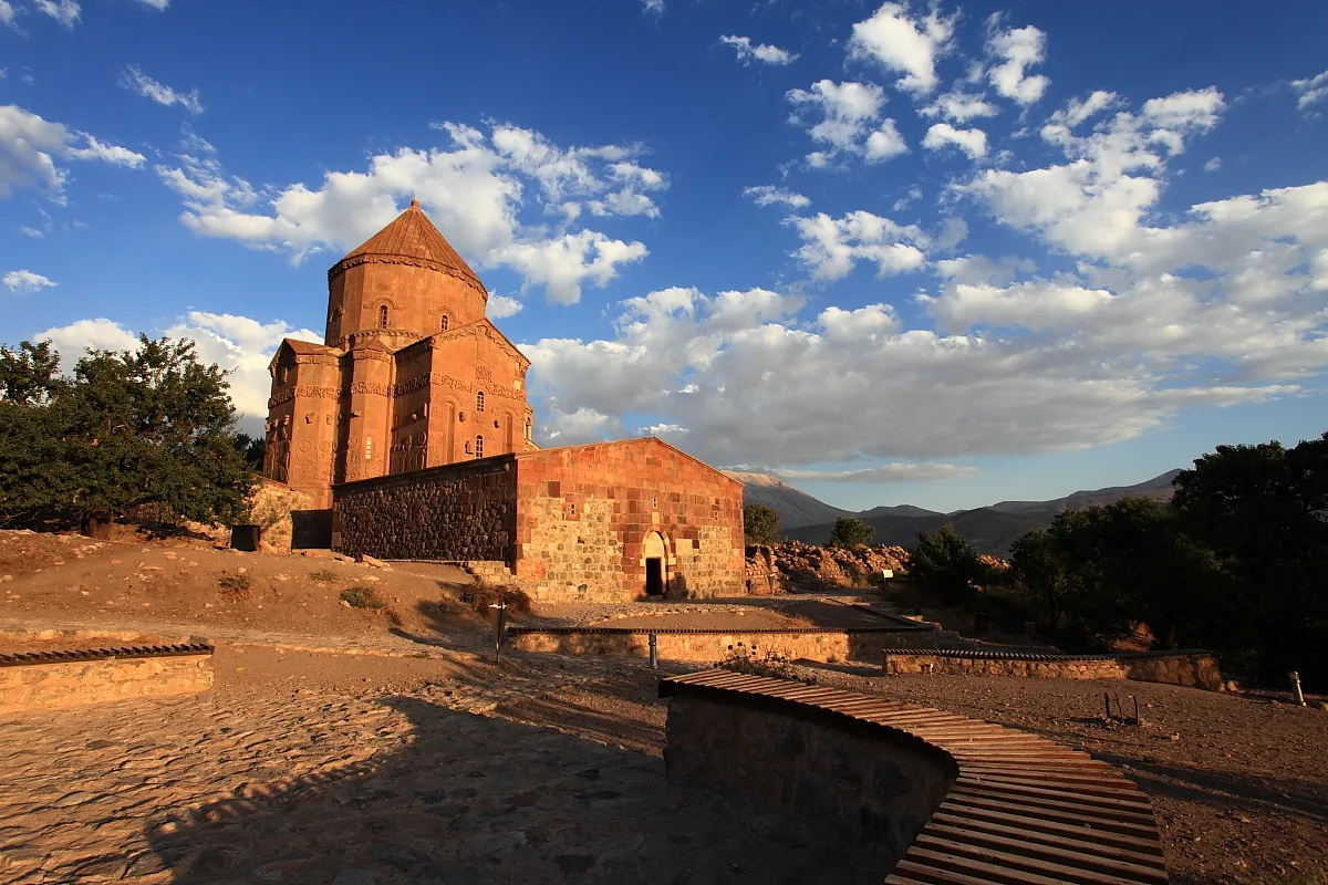 Religious Sites
Armenian Cathedral of the Holy Cross
Religious Sites in Van
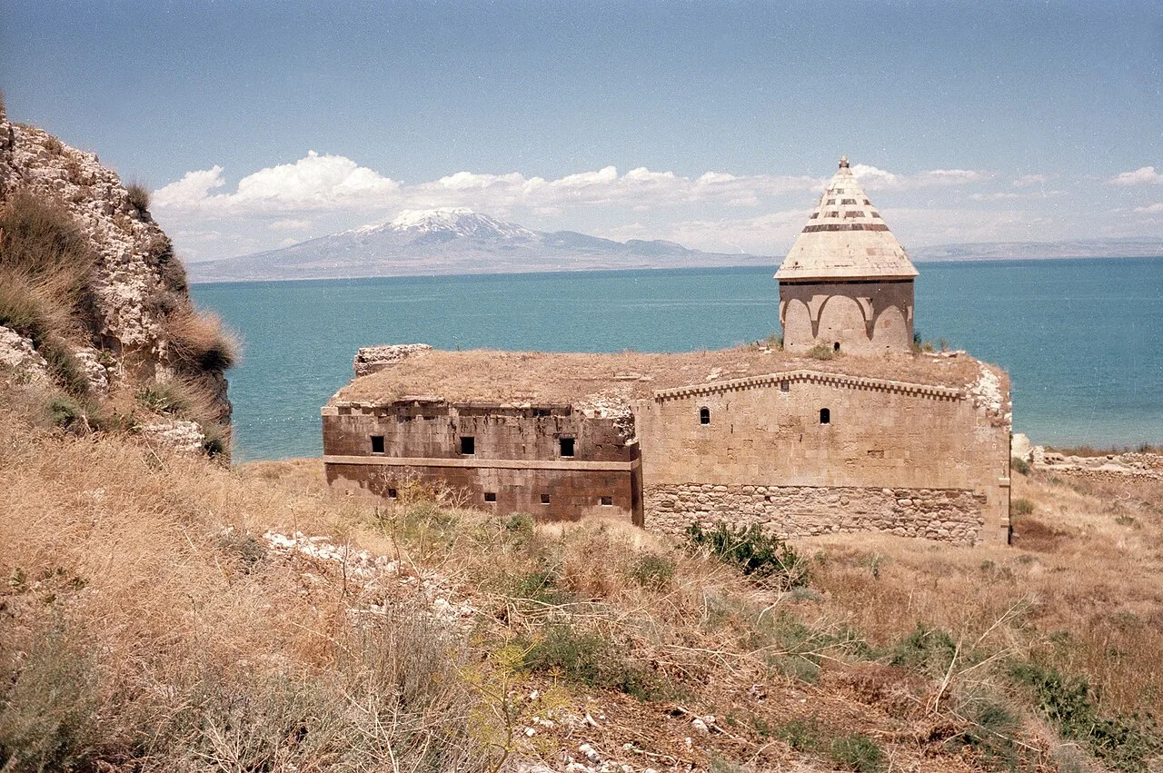 Religious Sites
Ktuts monastery
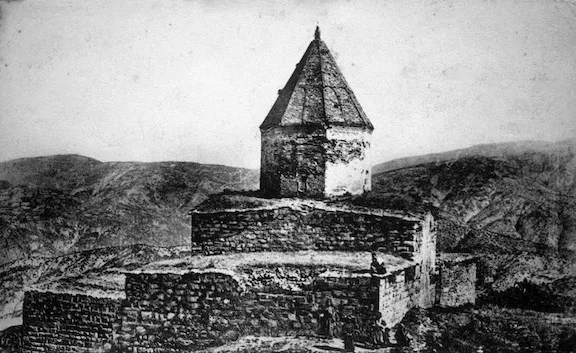 Religious Sites
Aparank Monastery
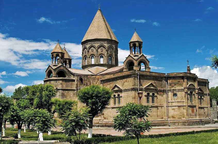 Religious Sites
Varagavank
 Religious Sites
Saint Bartholomew Monastery
 Religious Sites
 Religious Sites
Surp Marinos Monastery
 Religious Sites
Süleyman Han Mosque
 Religious Sites
mosque in İpekyolu, Van
Frequently Asked Questions
Quick Facts
- Province Van
- Category Religious Sites
- Period 901
- Coordinates 38.37232, 42.90428