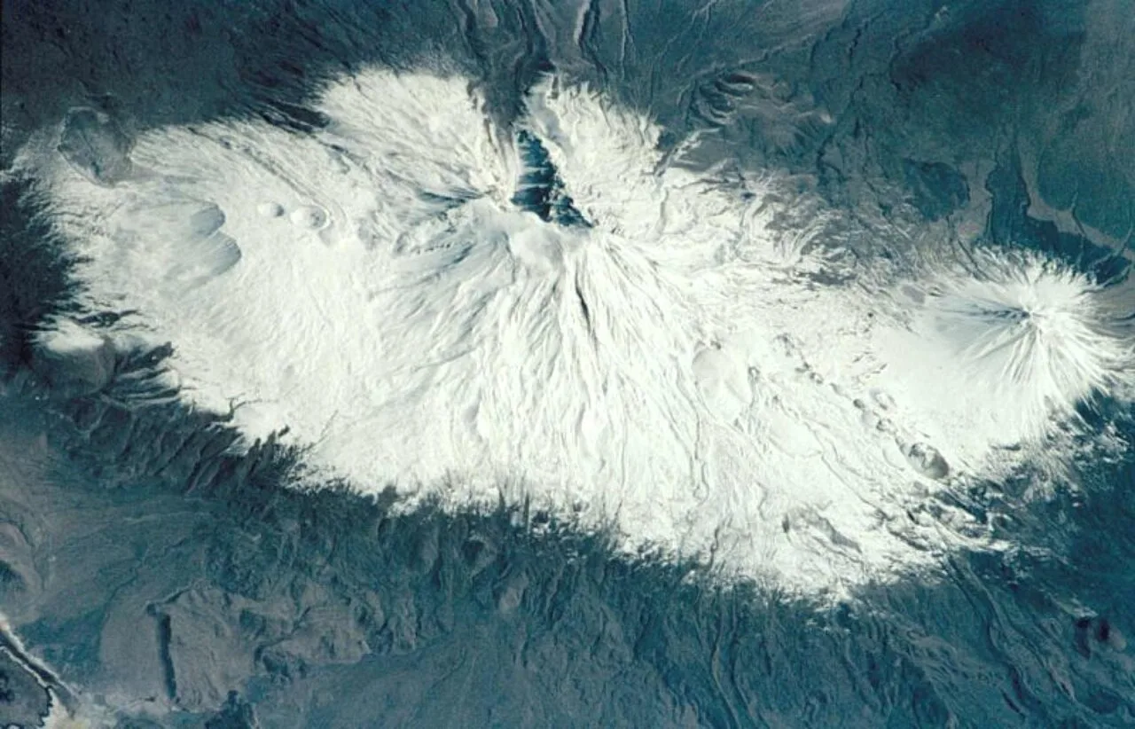
About Mount Ararat
Mount Ararat, officially Mount Ağrı, also known as Masis, is a snow- capped and dormant compound volcano in easternmost Turkey. It consists of two major volcanic cones: Greater Ararat and Little Ararat. Greater Ararat is the highest peak in Turkey and the Armenian highlands with an elevation of 5,137 m (16,854 ft); Little Ararat's elevation is 3,896 m (12,782 ft). The Ararat massif is about 35 km (22 mi) wide at ground base. The first recorded efforts to reach Ararat's summit were made in the Middle Ages, and Friedrich Parrot, Khachatur Abovian, and four others made the first recorded ascent in 1829.
In Europe, the mountain has been called by the name Ararat since the Middle Ages, as it began to be identified with "mountains of Ararat" described in the Bible as the resting place of Noah's Ark, despite contention that Genesis 8:4 does not refer specifically to a Mount Ararat.
Although lying outside the borders of modern Armenia, the mountain is the principal national symbol of Armenia and has been considered a sacred mountain by Armenians. It has featured prominently in Armenian literature and art and is an icon for Armenian nationalism. It is depicted on the coat of arms of Armenia along with Noah's Ark.
This description is taken from Wikipedia and published under the CC BY-SA 4.0 licence. Mount Ararat
Location and Access
Mount Ararat is located in Ağrı. Coordinates are 39.70194, 44.29833. You can get directions from the map below. You can request a licensed local guide for Ağrı.
Places to Visit Near Mount Ararat
 Nature & Outdoors
 Nature & Outdoors
 Historical Places
Alacalı Bridge
 Nature & Outdoors
 Religious Sites
Tomb of Ahmed-i Hani
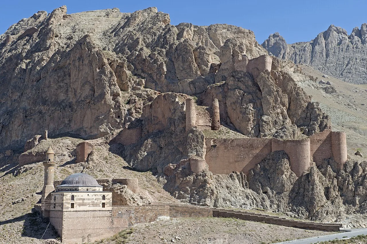 Religious Sites
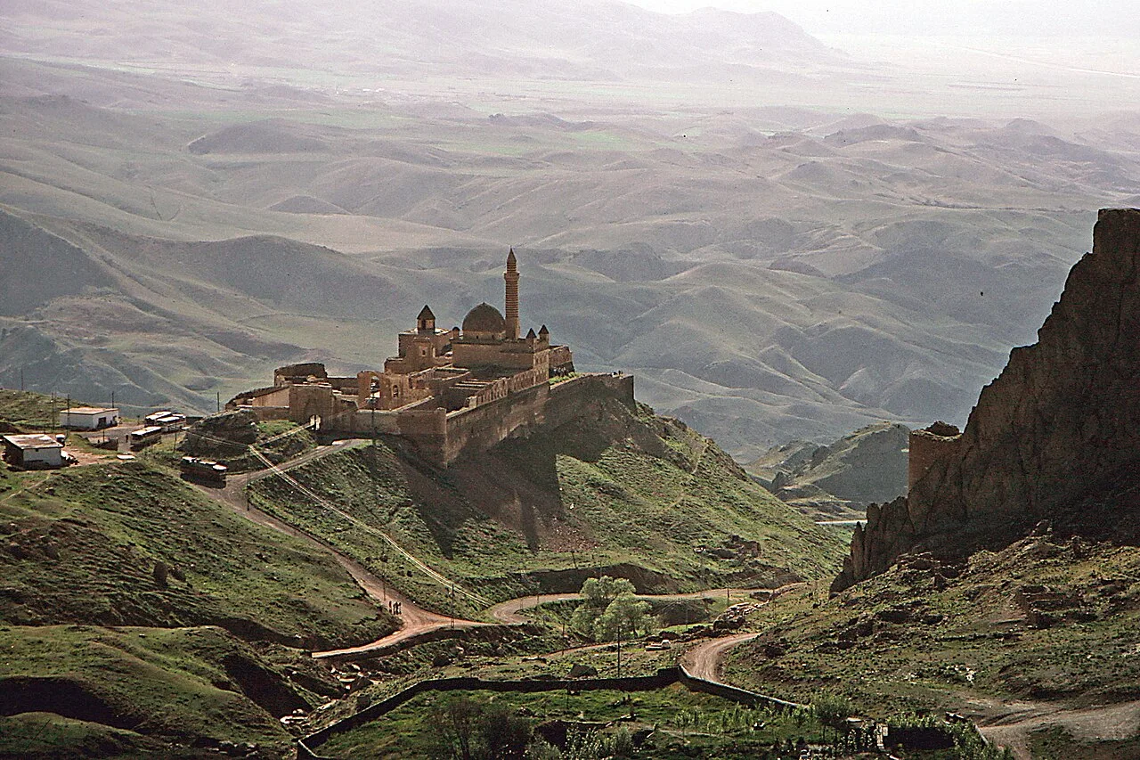 Historical Places
Ishak Pasha Palace
 Nature & Outdoors
Nature & Outdoors in Ağrı
 Nature & Outdoors
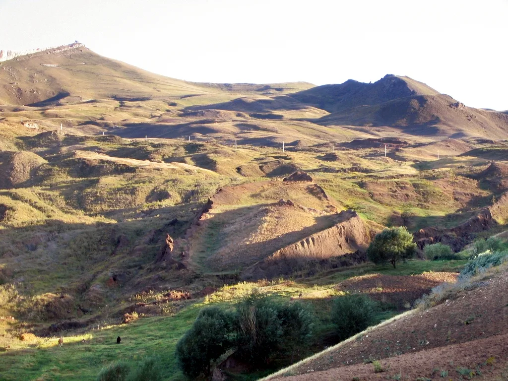 Nature & Outdoors
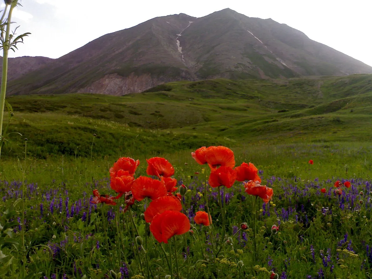 Nature & Outdoors
 Nature & Outdoors
Lake Atar
 Nature & Outdoors
 Nature & Outdoors
Meya Mağaraları
 Nature & Outdoors
 Nature & Outdoors
Frequently Asked Questions
Quick Facts
- Province Ağrı
- Category Nature & Outdoors
- Coordinates 39.70194, 44.29833
Request a Guided Tour
Visit Mount Ararat with a licensed professional guide in Ağrı.
See guides in Ağrı