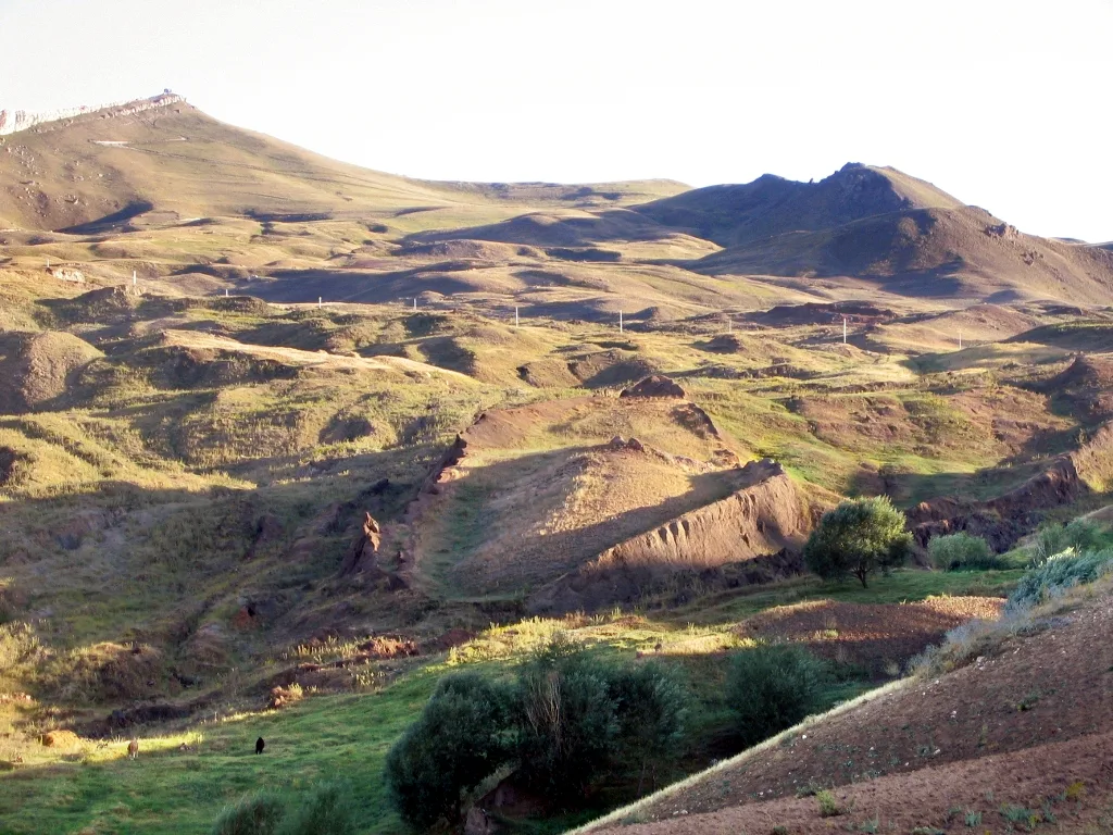
About Mount Tendürek
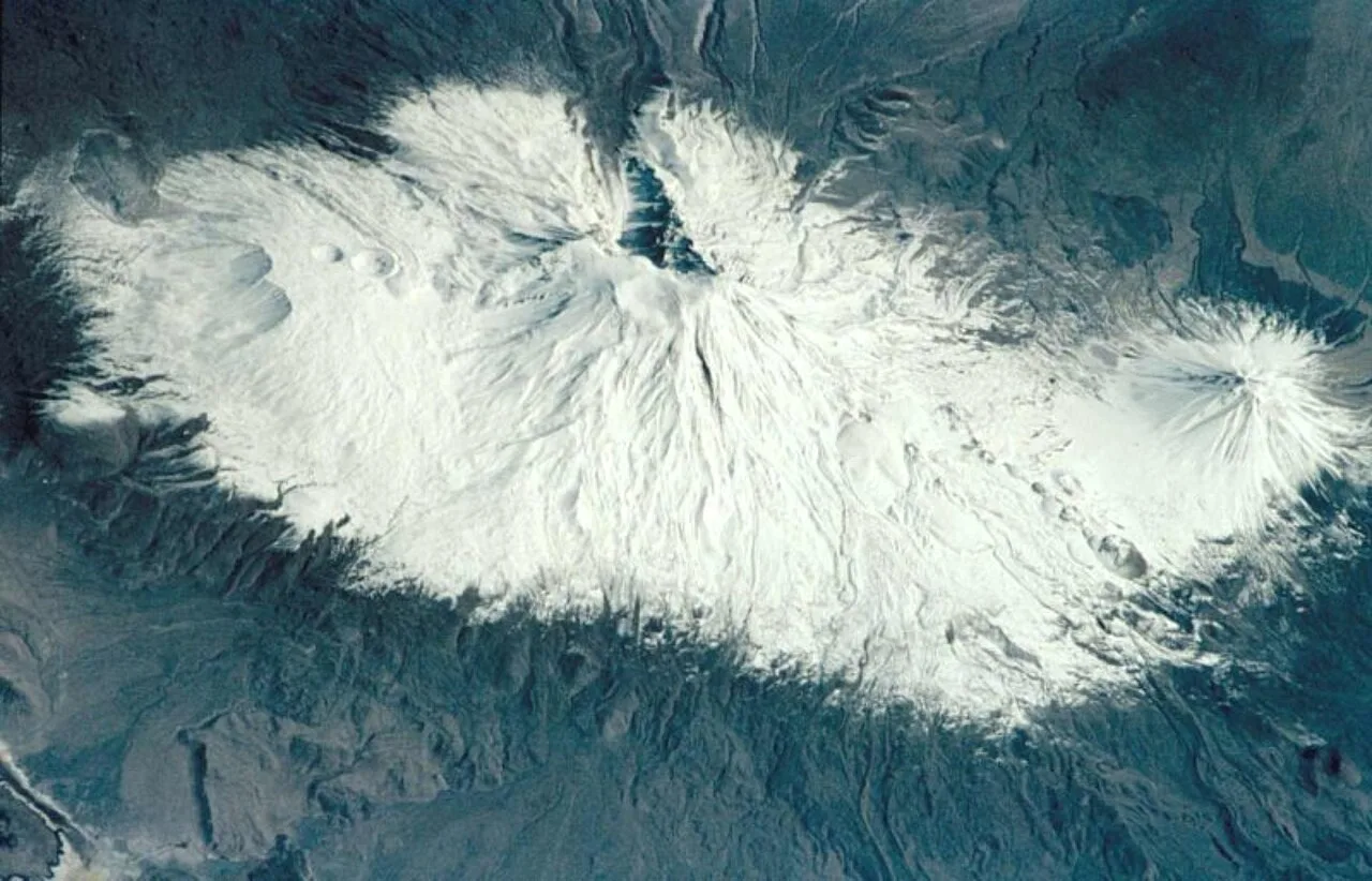
Mount Tendürek (Turkish: Tendürek Dağı; Armenian: Թոնդրակ, romanized: T’ondrak) is a shield volcano on the border of Ağrı and Van provinces in eastern Turkey, near the border with Iran. The volcano, which is mostly known for being near the supposed wreck site of Noah's Ark, is very large; its lava flows cover roughly 650 km2 (251 mi2) across a swath of flat land. The mountain's two main features are the main summit crater Greater Tendürek, and a smaller crater known as Lesser Tendürek which lies to the east of the main crater. The slopes are very gentle and resemble a shield, after which the type is named. Mount Tendürek is known to have erupted viscous lava like that of volcanoes on the island of Hawaii.
The volcano is part of a volcanic group surrounding Lake Van that includes Nemrut Caldera and Mount Ararat. This group of volcanoes formed as a result of a continental collision that began roughly six million years ago and continued for the next few million years. Volcanicity in Tendürek started roughly 250,000 years ago and is still active. The most-recent eruption, a gas-and-ash eruption from the summit crater, occurred in 1855; this is also the most-recent eruption in Turkey. Since then, the volcano has mostly been geothermally active, emitting some steam and gases from the summits. Since 1993, the volcano's magma chamber has been subsiding, meaning the volcano is entering a dormancy phase.
This description is taken from Wikipedia and published under the CC BY-SA 4.0 licence. Mount Tendürek
Location and Access
Mount Tendürek is located in Ağrı. Coordinates are 39.35486, 43.86703. You can get directions from the map below. You can request a licensed local guide for Ağrı.
Places to Visit Near Mount Tendürek
 Nature & Outdoors
 Nature & Outdoors
 Nature & Outdoors
 Nature & Outdoors
 Historical Places
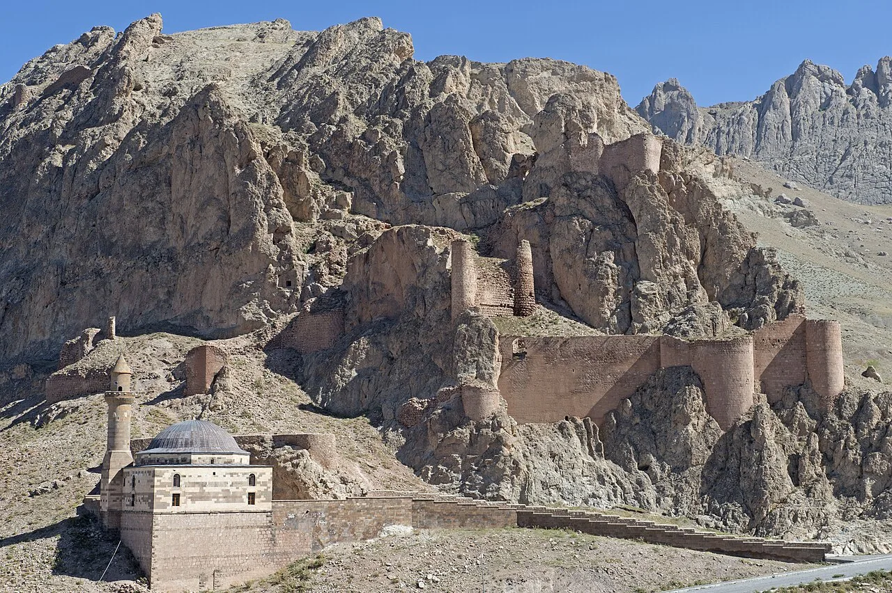
Diyadin Castle
 Historical Places
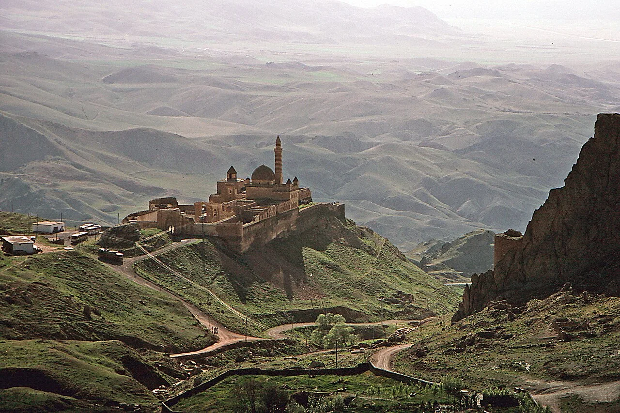
Ishak Pasha Palace
 Religious Sites
 Religious Sites
Tomb of Ahmed-i Hani
Nature & Outdoors in Ağrı
 Nature & Outdoors
 Nature & Outdoors
 Nature & Outdoors
 Nature & Outdoors
 Nature & Outdoors
Lake Atar
 Nature & Outdoors
 Nature & Outdoors
Meya Mağaraları
 Nature & Outdoors
Frequently Asked Questions
Quick Facts
- Province Ağrı
- Category Nature & Outdoors
- Coordinates 39.35486, 43.86703
Request a Guided Tour
Visit Mount Tendürek with a licensed professional guide in Ağrı.
See guides in Ağrı