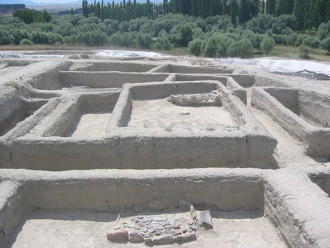
About Aşıklı Höyük
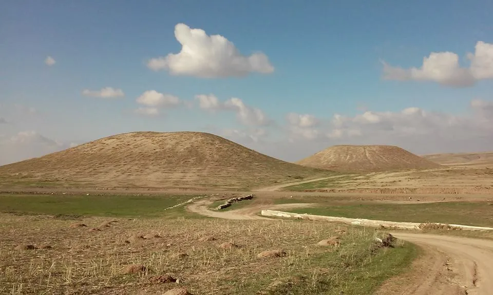
Aşıklı Höyük is a settlement mound located around 1 kilometre (0.62 mi) south of Kızılkaya village on the bank of the Melendiz brook, and 25 km (16 mi) southeast of Aksaray, Turkey.
Aşıklı Höyük is located in an area covered by the volcanic tuff of central Cappadocia, in Aksaray. The archaeological site of Aşıklı Höyük was first settled in the Pre-Pottery Neolithic period, around 8200 BC.
It is situated 1.12 kilometres (0.70 mi) above sea level, a little higher than the region's average of around 1 kilometre (0.62 mi). The site itself is about 4 hectares (9.9 acres), considerably smaller than the closely situated site of Çatalhöyük (13 ha (32 acres)). The surrounding landscape is formed by erosion of river valleys into tuff deposits. The Melendiz Valley, where the Aşıklı Höyük is located, constitutes a favourable, fertile, and diverse habitat. The proximity to an obsidian source did become the base of a trade with the material supplying areas as far away as today's Cyprus and Iraq.
This description is taken from Wikipedia and published under the CC BY-SA 4.0 licence. Aşıklı Höyük
Location and Access
Aşıklı Höyük is located in Gülağaç district, Aksaray. Coordinates are 38.34900, 34.23000. You can get directions from the map below. You can request a licensed local guide for Aksaray.
Places to Visit Near Aşıklı Höyük
 Historical Places
Musular Höyüğü
 Religious Sites
Sinan Bey Camii Selime
 Historical Places
Selime Castle
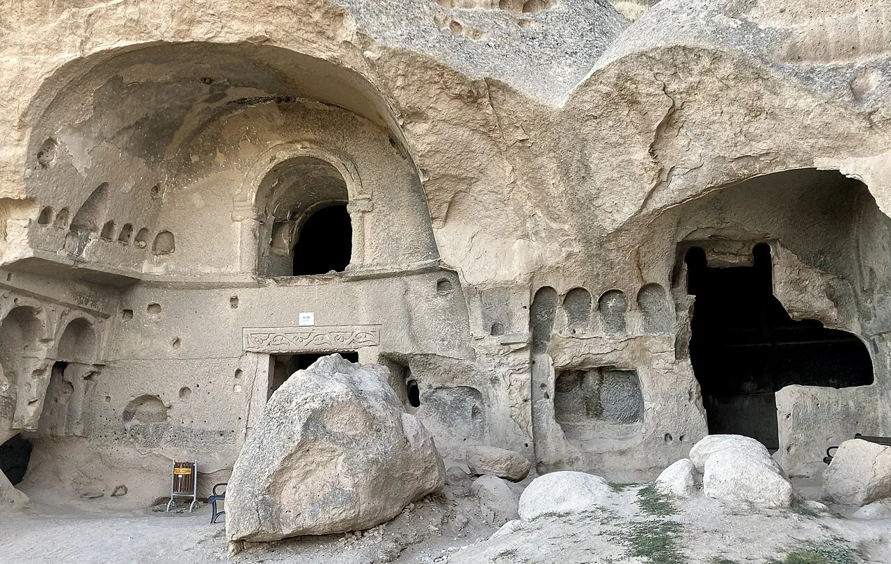 Religious Sites
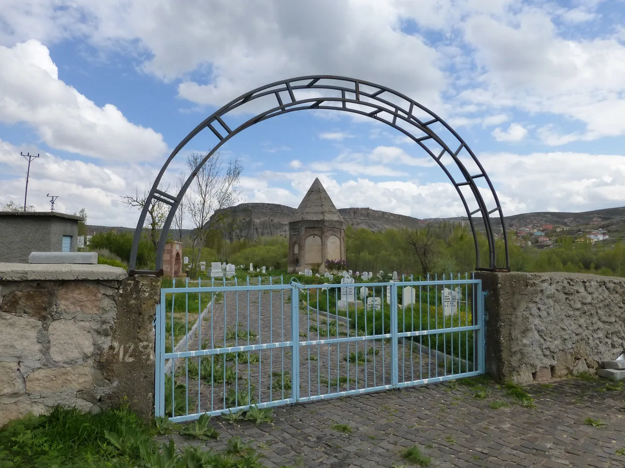 Religious Sites
Selime Sultan Türbesi
 Historical Places
Güvercinkayası Höyüğü
 Historical Places
Yaprakhisar Bridge
 Religious Sites
Yaprakhisar Kaya Mosque
Historical Places in Aksaray
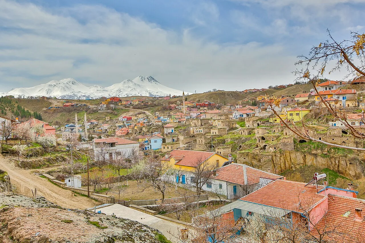 Historical Places
Ihlara
 Historical Places
Nyssa
 Historical Places
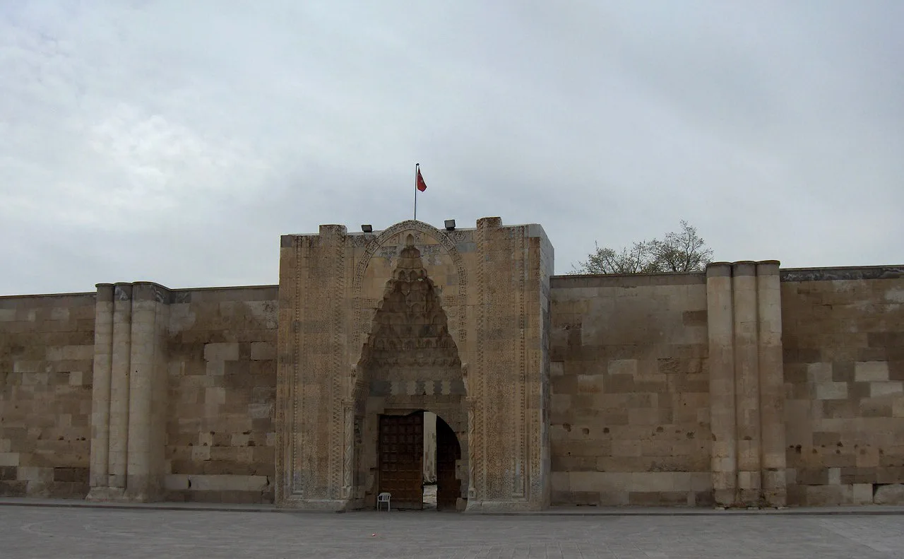
Sultan Han
 Historical Places
 Historical Places
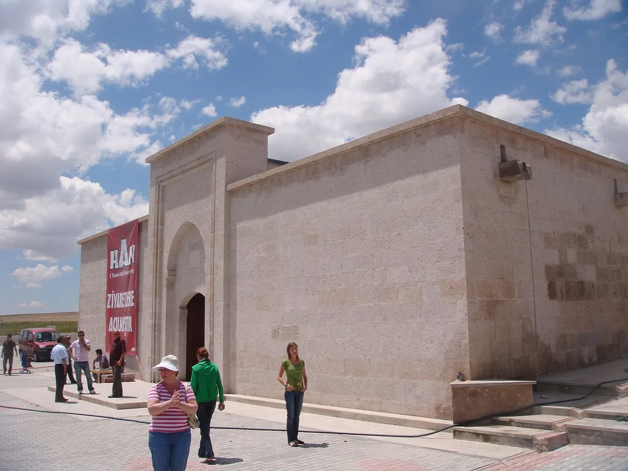 Historical Places
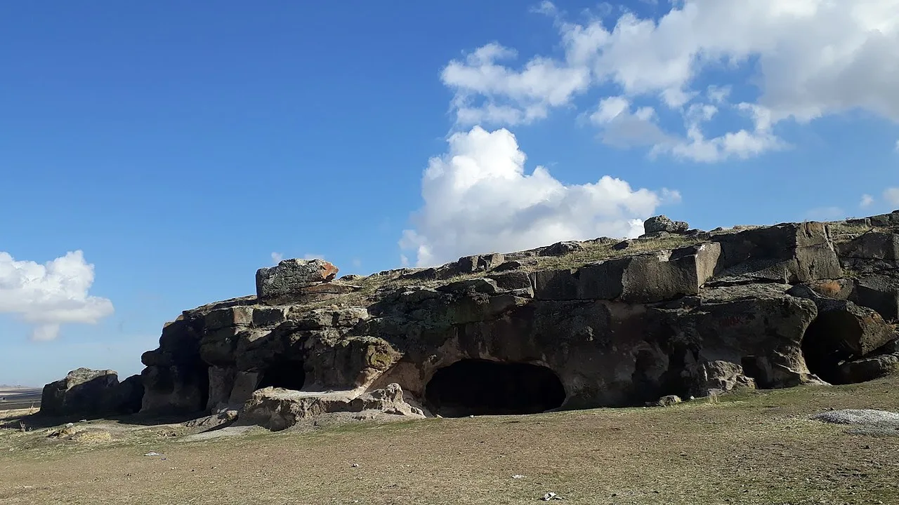 Historical Places
Ersele Underground City
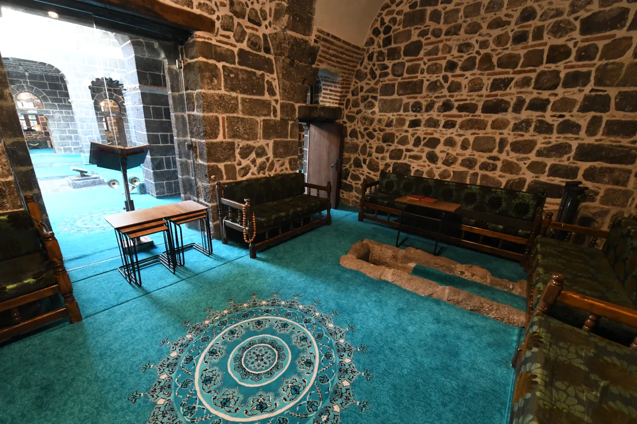 Historical Places
Frequently Asked Questions
Quick Facts
- Province Aksaray
- District Gülağaç
- Category Historical Places
- Period MÖ 8200
- Coordinates 38.34900, 34.23000
Request a Guided Tour
Visit Aşıklı Höyük with a licensed professional guide in Aksaray.
See guides in Aksaray