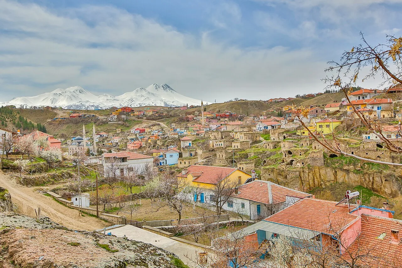
About Ihlara
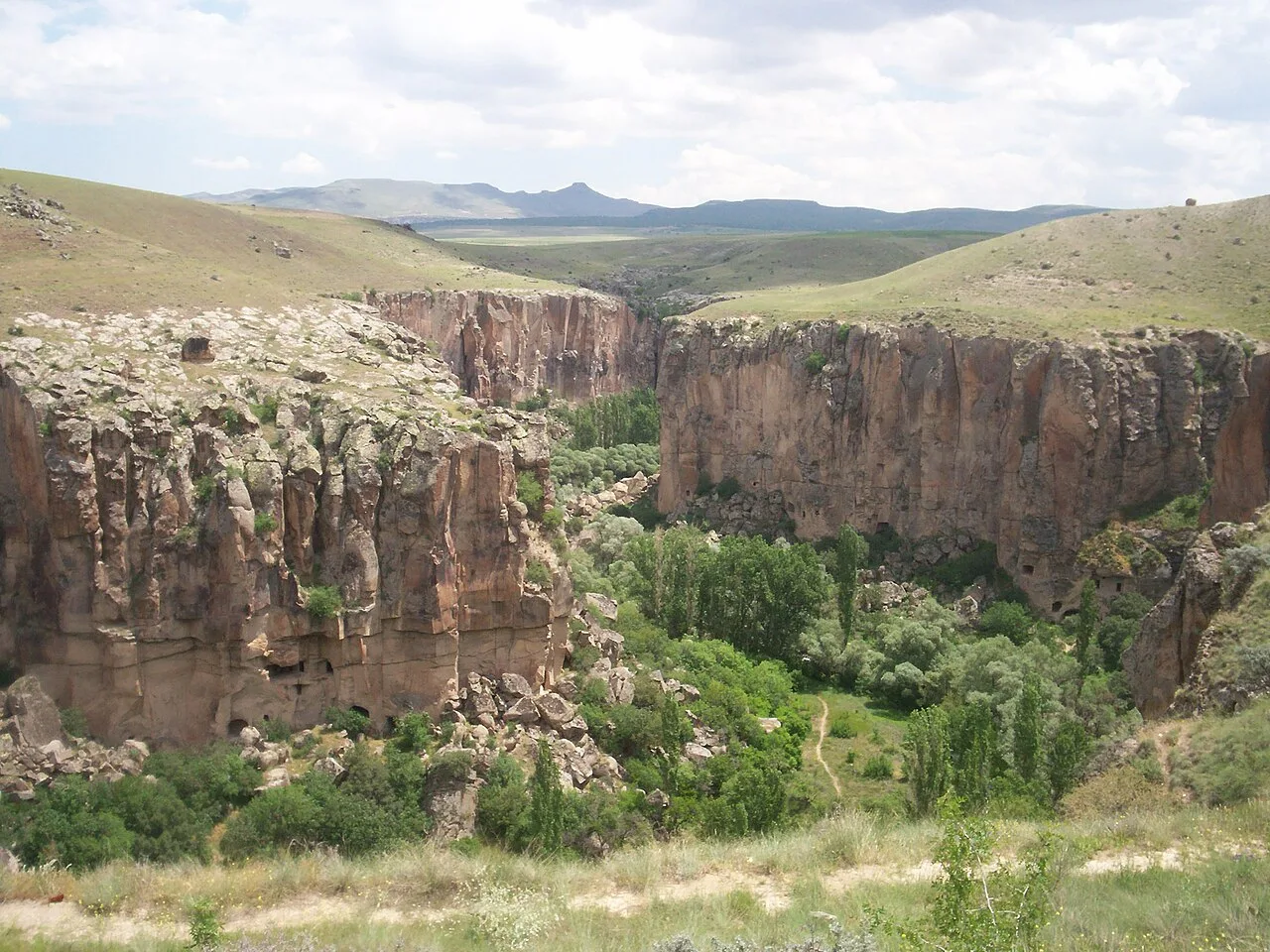
Ihlara, formerly known as Chliára (Cappadocian Greek: Χλιάρα; Latin: Chliará) is a town (belde) and municipality in the Güzelyurt District, Aksaray Province, Turkey. The population is 2,289 (2021). It is situated at about 40 km (25 mi) from the province seat of Aksaray and near the town of Güzelyurt. The township is famed for the nearby valley of the same name, Ihlara Valley, which is a 16 km (10 mi) long gorge cut into volcanic rock in the southern part of Cappadocia, following several eruptions of Mount Erciyes. The Melendiz River flows through the valley.
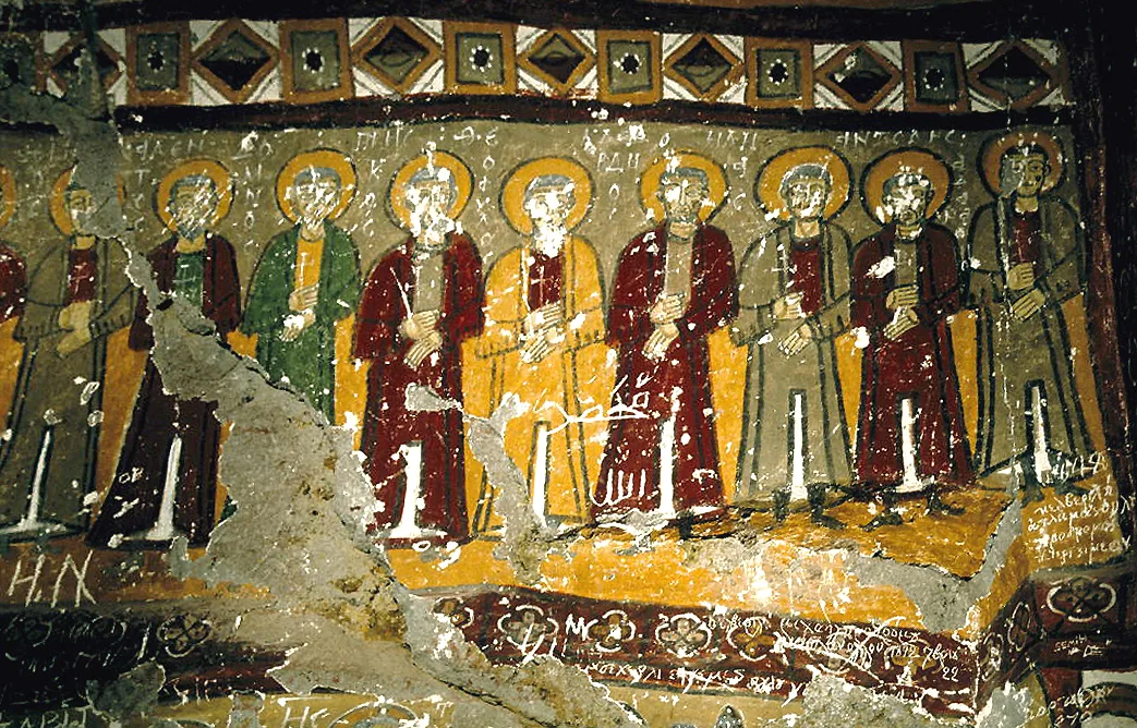
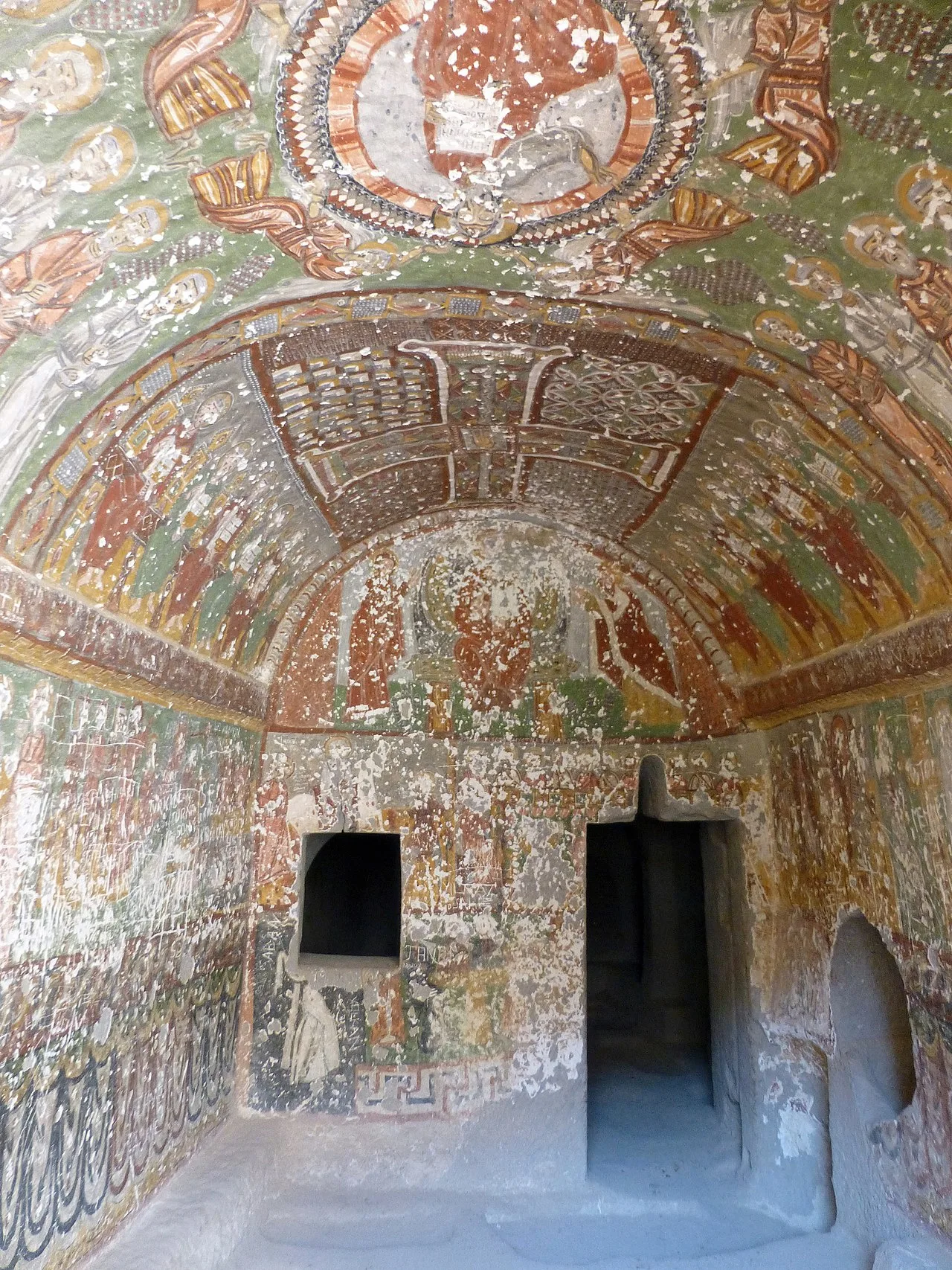
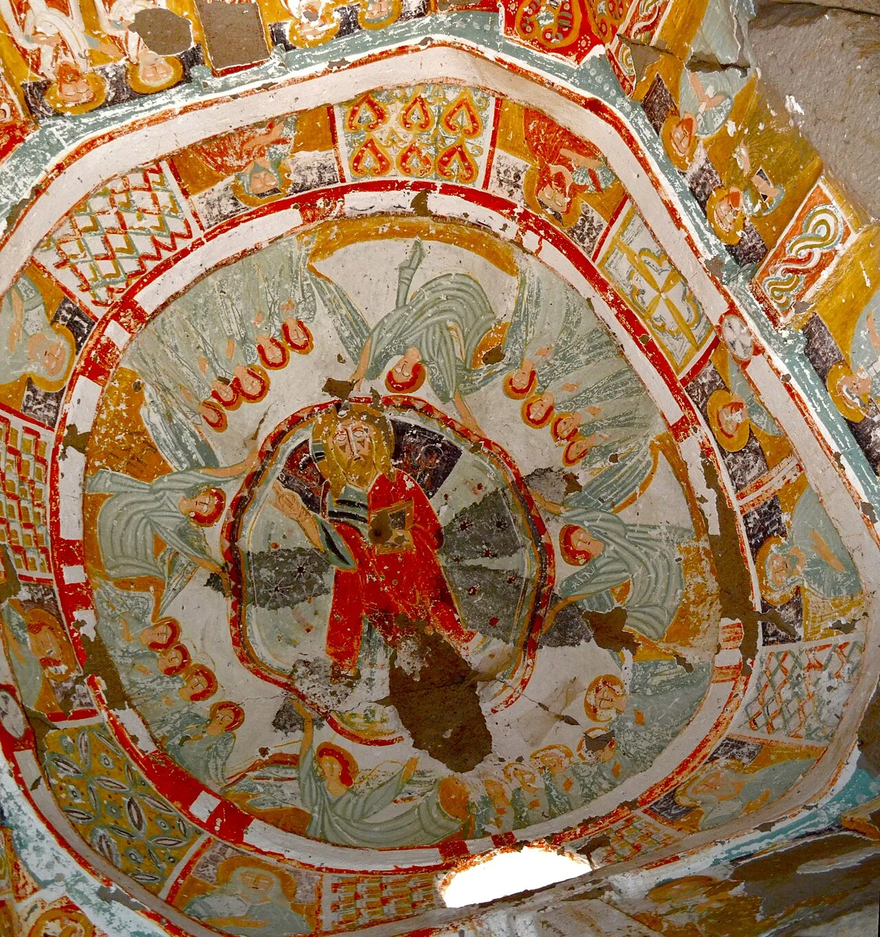
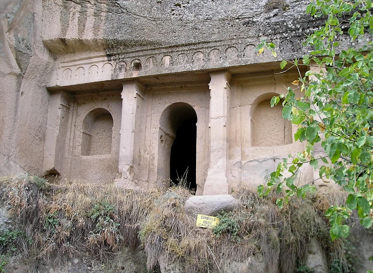
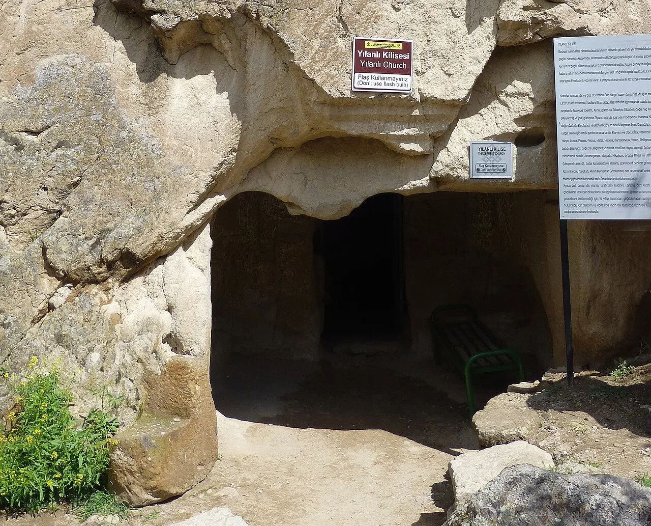
The Ihlara valley consists of 14 km along the north-south Melendiz River, which runs from Selime to Ihlara village. Sixteen of the valley's 105 churches are open to visitors, and most of these are within 1 km of the official valley entrance in Ihlara. The first one you are likely to see is Ağaçaltı Kilise (Church Under the Trees), at the base of the stairs leading into the valley. Spectacular blue and white angels encircle the Christ figure on the well-preserved dome. Another 30m south past the Ağaçaltı (to the right after descending the entrance stairs, away from Belisirma) lies the Ptirenllseki Church, whose faded walls enclose the many martyrs of Sivas. The Kokar Kilise (Odorous Church), 70m farther along, celebrates biblical stories with colorful frescoes and ornate geometrical ceiling crosses.
What makes the valley unique is the ancient history of its inhabitants. The whole canyon is honeycombed with rock-cut underground dwellings and churches from the Byzantine period built by the Cappadocian Greeks. These local people were forced to leave the area and move to Greece in the 1923 Population exchange between Turkey and Greece.
This description is taken from Wikipedia and published under the CC BY-SA 4.0 licence. Ihlara
Location and Access
Ihlara is located in Güzelyurt district, Aksaray. Coordinates are 38.24083, 34.30611. You can get directions from the map below. You can request a licensed local guide for Aksaray.
Places to Visit Near Ihlara
 Religious Sites
 Religious Sites
Kokar Kilise
 Religious Sites
Ağaçaltı Kilisesi
 Religious Sites
 Religious Sites
 Historical Places
 Religious Sites
Bahaddin Samanlığı Church
 Religious Sites
Bezirhane
Historical Places in Aksaray
 Historical Places
Nyssa
 Historical Places
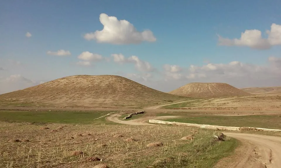
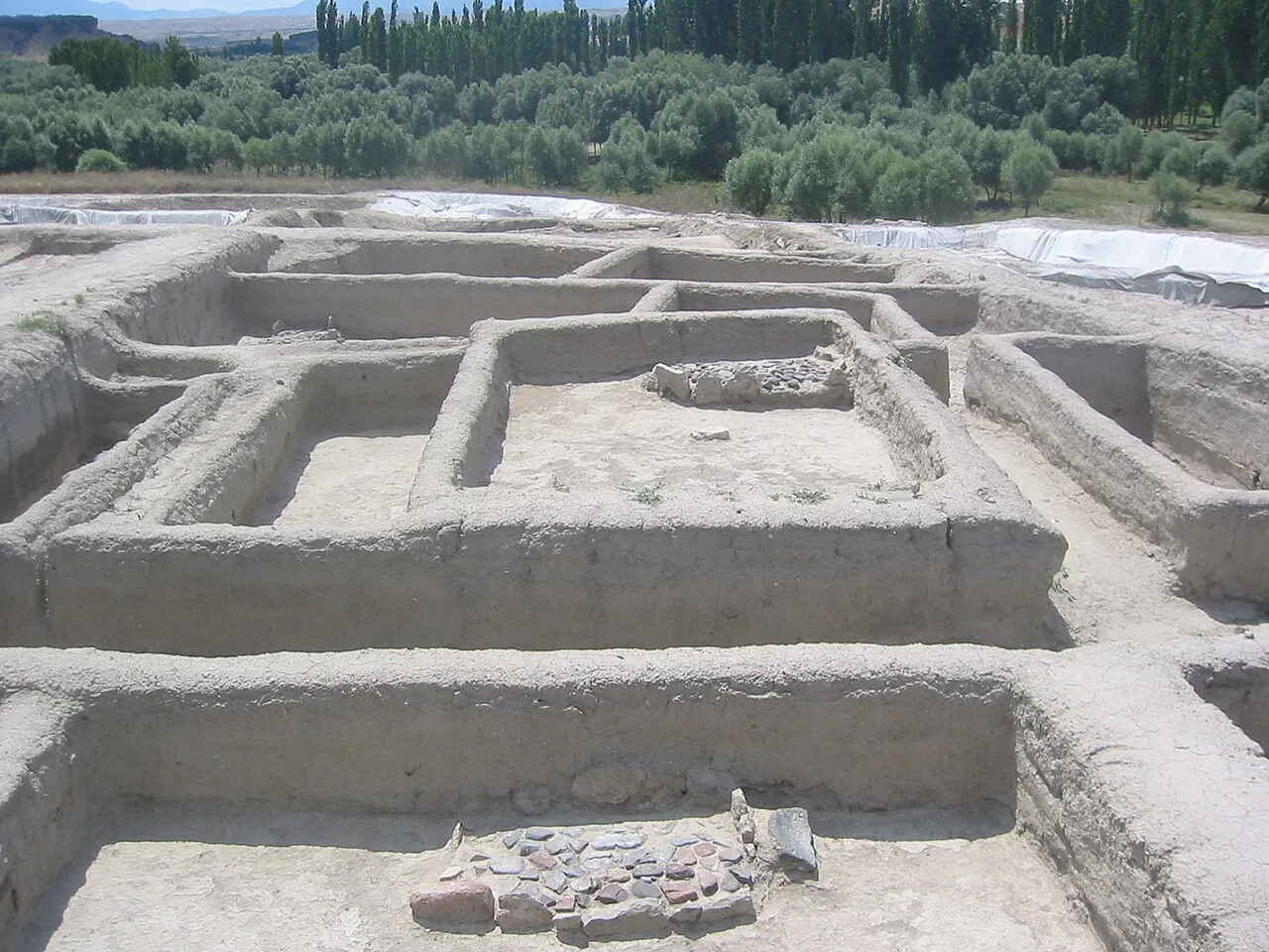
Aşıklı Höyük
 Historical Places
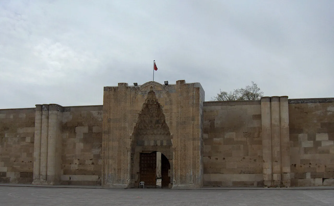
Sultan Han
 Historical Places
 Historical Places
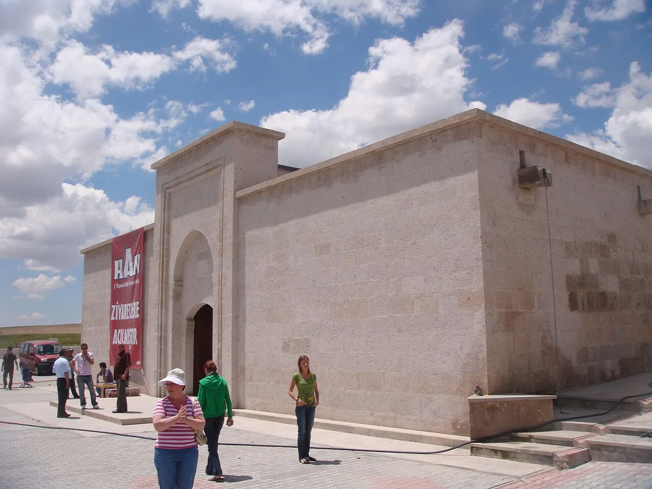 Historical Places
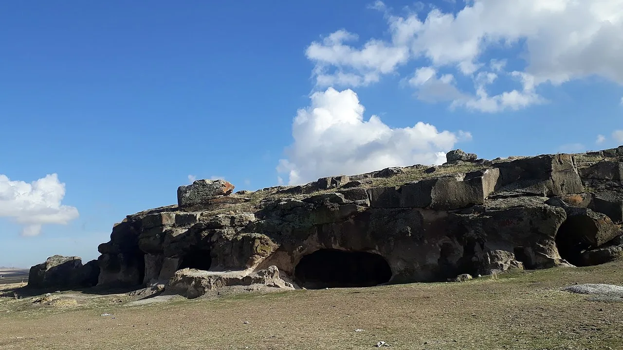 Historical Places
Ersele Underground City
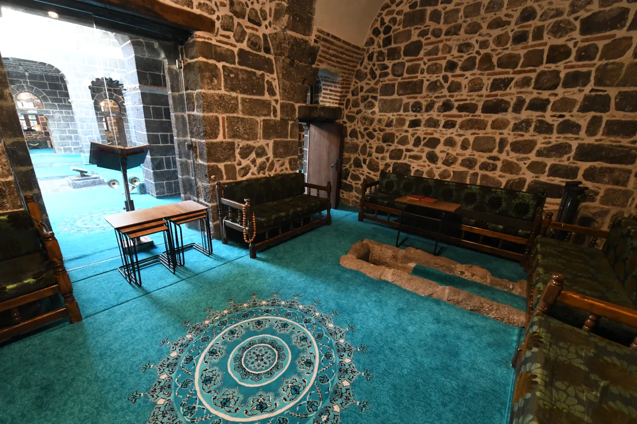 Historical Places
Frequently Asked Questions
Quick Facts
- Province Aksaray
- District Güzelyurt
- Category Historical Places
- Coordinates 38.24083, 34.30611
Request a Guided Tour
Visit Ihlara with a licensed professional guide in Aksaray.
See guides in Aksaray