
About Balabolu
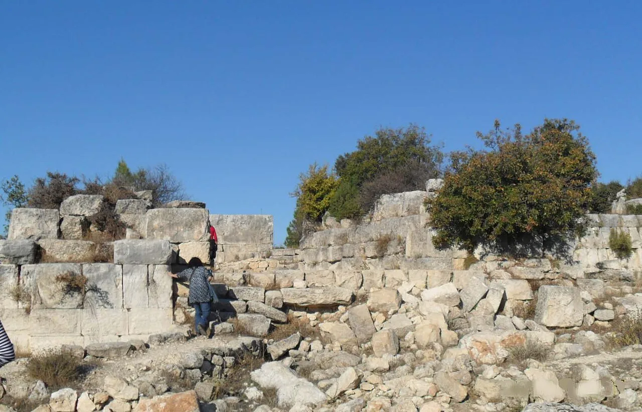
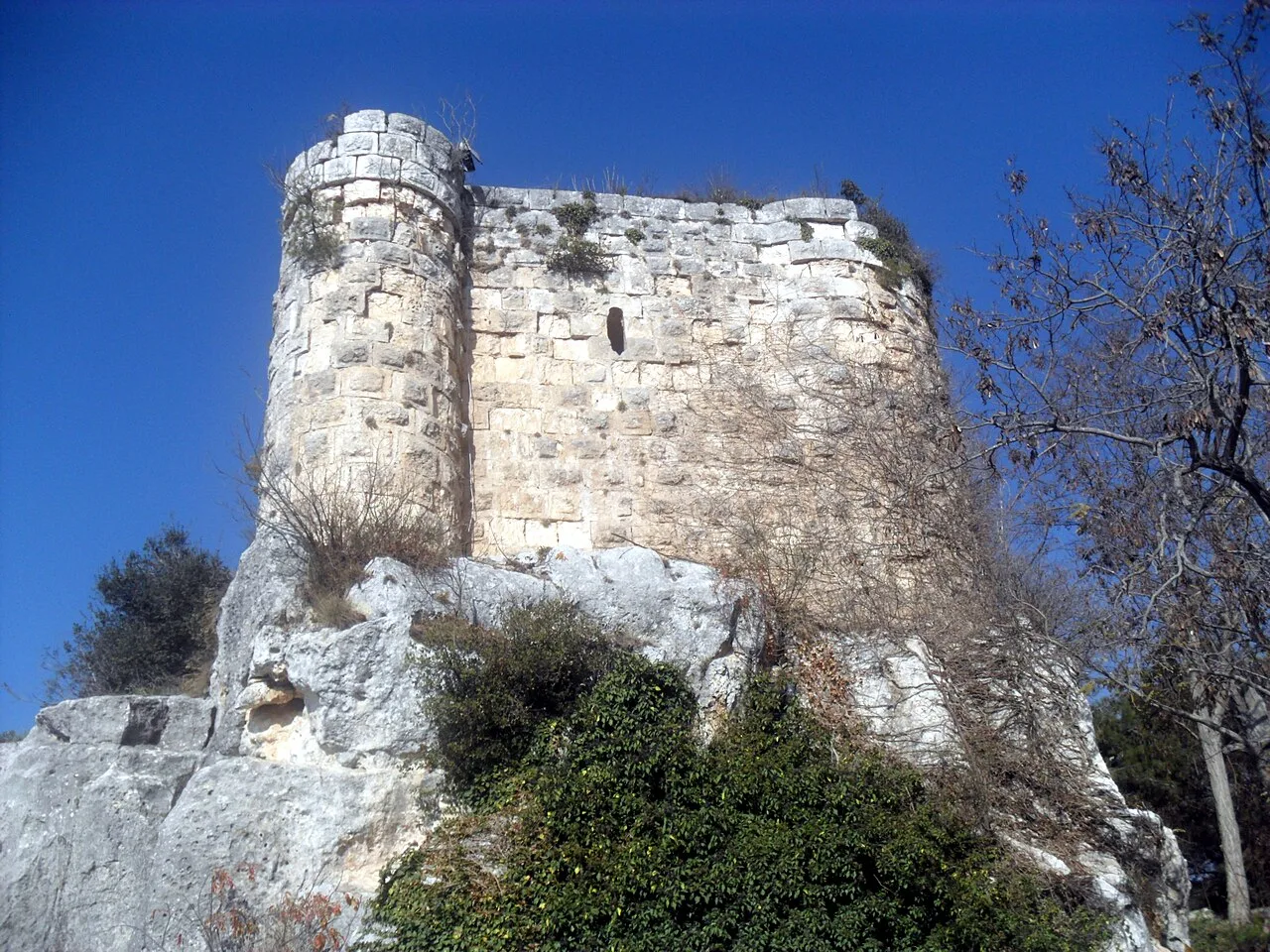
Balabolu is a hill and an archaeological site on the hill in Mersin Province, Turkey.
It is in the rural area of Mut ilçe at 36°38′56″N 33°06′30″E. Its distance to Yalnızcabağ village is about 5 kilometres (3.1 mi), to Mut is 45 kilometres (28 mi) and to Mersin is 205 kilometres (127 mi). Visitors follow Mut-Ermenek highway and turn north to reach the site.
The original name of the site was Adrasus (or Andrassos). Adrasus was a Roman and Byzantine town. The Battle of Andrassos in which Byzantines defeated Hamdanid army in 960 was around Adrasus. In the 13th century the town fell to Nure Sofi of Karamanids.
This description is taken from Wikipedia and published under the CC BY-SA 4.0 licence. Balabolu
Location and Access
Balabolu is located in Mut district, Mersin. Coordinates are 36.64889, 33.10833. You can get directions from the map below. You can request a licensed local guide for Mersin.
Places to Visit Near Balabolu
 Religious Sites
Nure Sofi Tomb
 Nature & Outdoors
 Nature & Outdoors
 Nature & Outdoors
 Nature & Outdoors
 Nature & Outdoors
 Historical Places
 Nature & Outdoors
Ilısu Waterfall
Historical Places in Mersin
 Historical Places
Meydancık Castle
 Historical Places
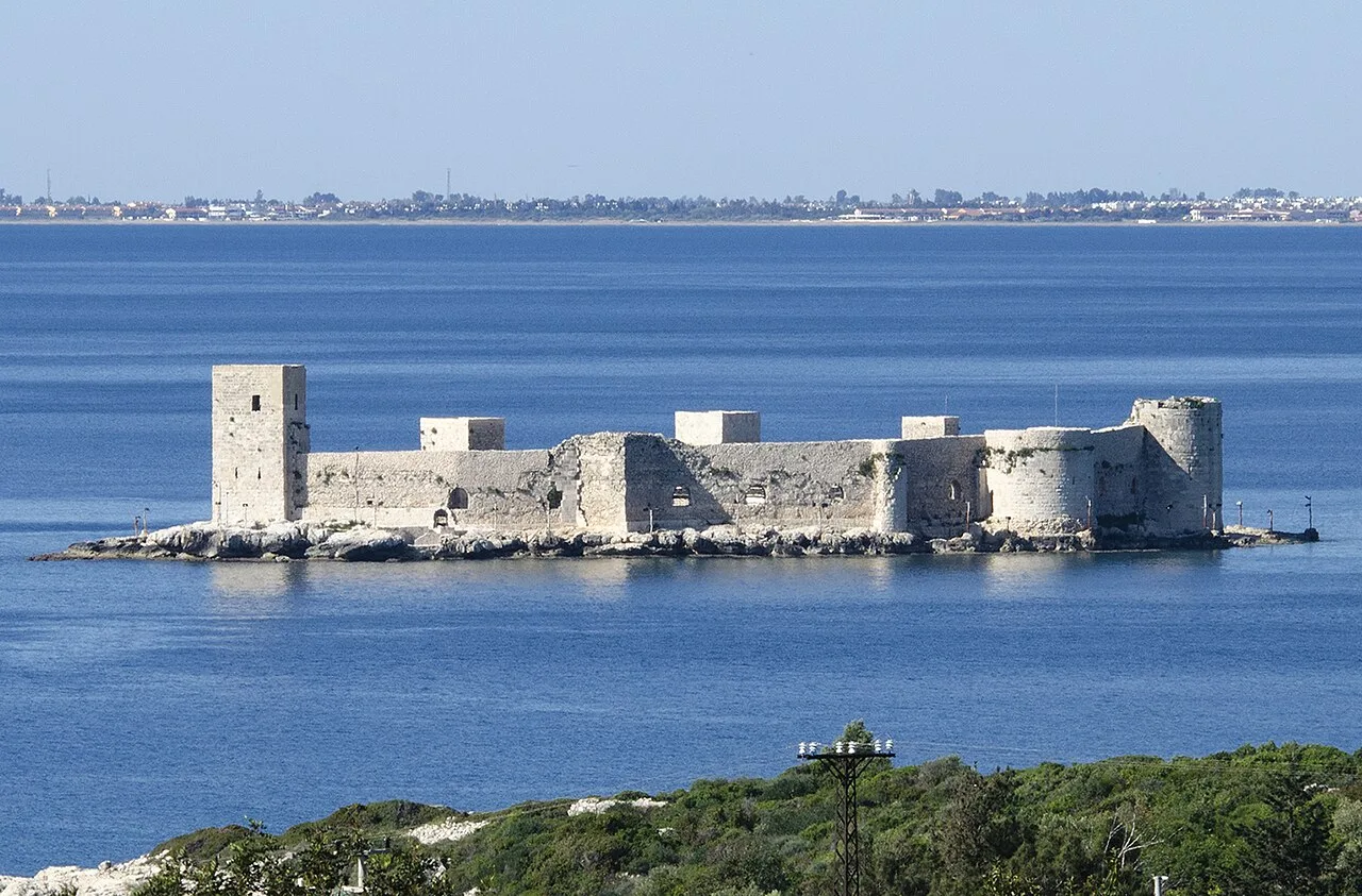
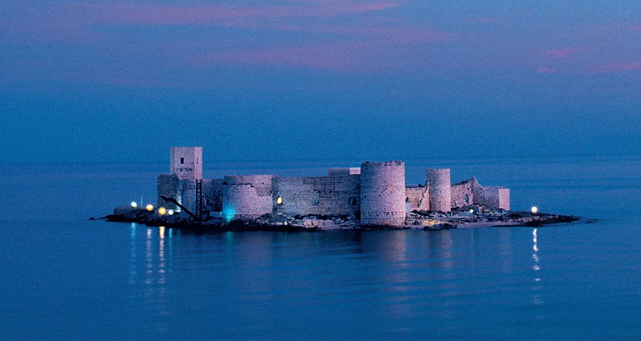
Kızkalesi
 Historical Places
 Historical Places
 Historical Places
 Historical Places
 Historical Places
 Historical Places
Frequently Asked Questions
Quick Facts
- Province Mersin
- District Mut
- Category Historical Places
- Coordinates 36.64889, 33.10833
Request a Guided Tour
Visit Balabolu with a licensed professional guide in Mersin.
See guides in Mersin