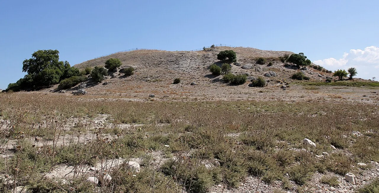
About Kilise Tepe
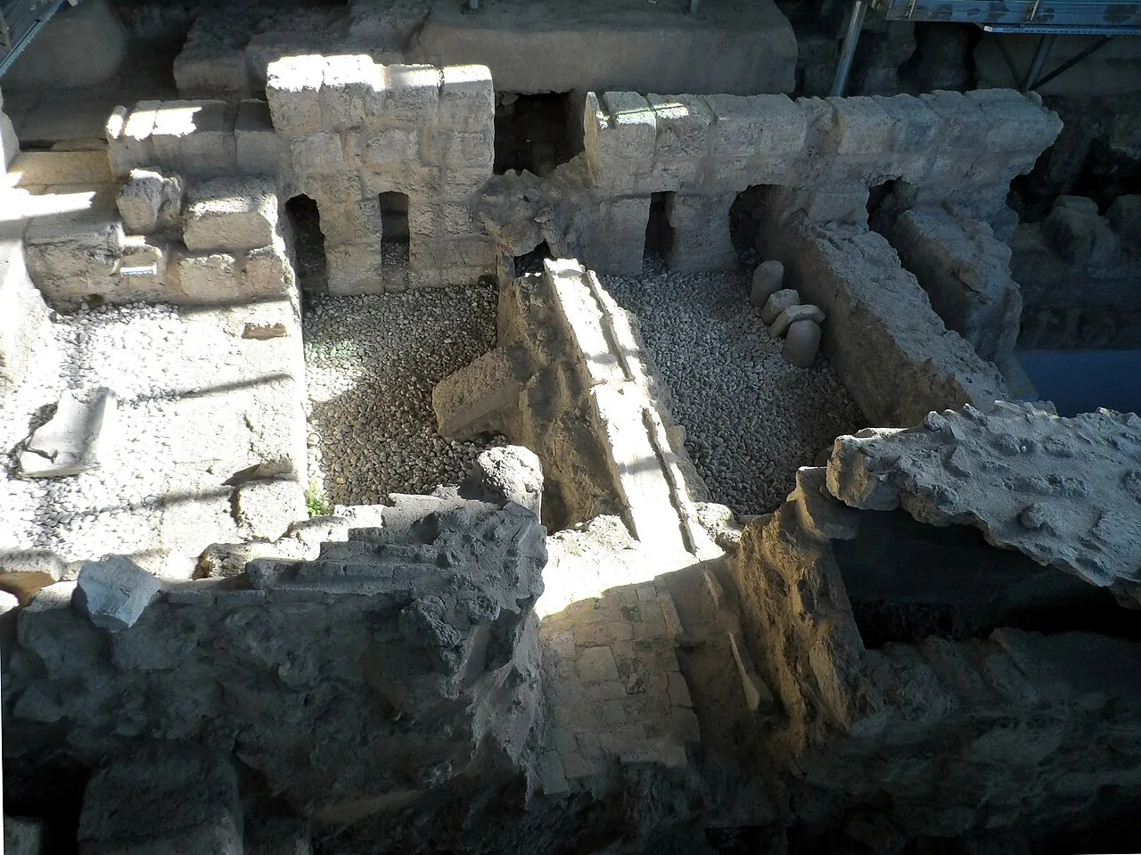
Kilise Tepe is a mound in Mersin Province, Turkey, just west of the Göksu River, lying 20 kilometers from Mut and 145 kilometers from Mersin. It was initially known as Maltepe which is actually the name of a site on the other bank of the river about four kilometers to the west. The original name of the mound is not known and Kilise Tepe in Turkish means "church-hill" referring to a church ruin. The site is thought to have been part of the land of Tarḫuntašša, formed when Muwatalli II moved the Hittite capital.
This description is taken from Wikipedia and published under the CC BY-SA 4.0 licence. Kilise Tepe
Location and Access
Kilise Tepe is located in Mersin. Coordinates are 36.50244, 33.55350. You can get directions from the map below. You can request a licensed local guide for Mersin.
Places to Visit Near Kilise Tepe
 Religious Sites
 Religious Sites
 Religious Sites
Zeyne Mosque
 Nature & Outdoors
 Nature & Outdoors
 Nature & Outdoors
 Nature & Outdoors
 Nature & Outdoors
Historical Places in Mersin
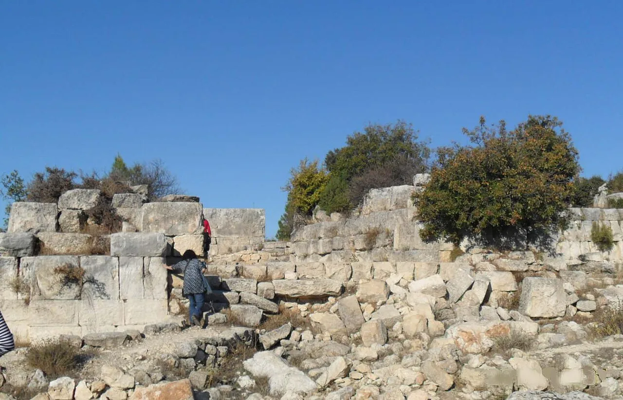 Historical Places
Meydancık Castle
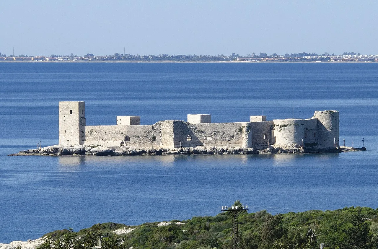 Historical Places
Kızkalesi
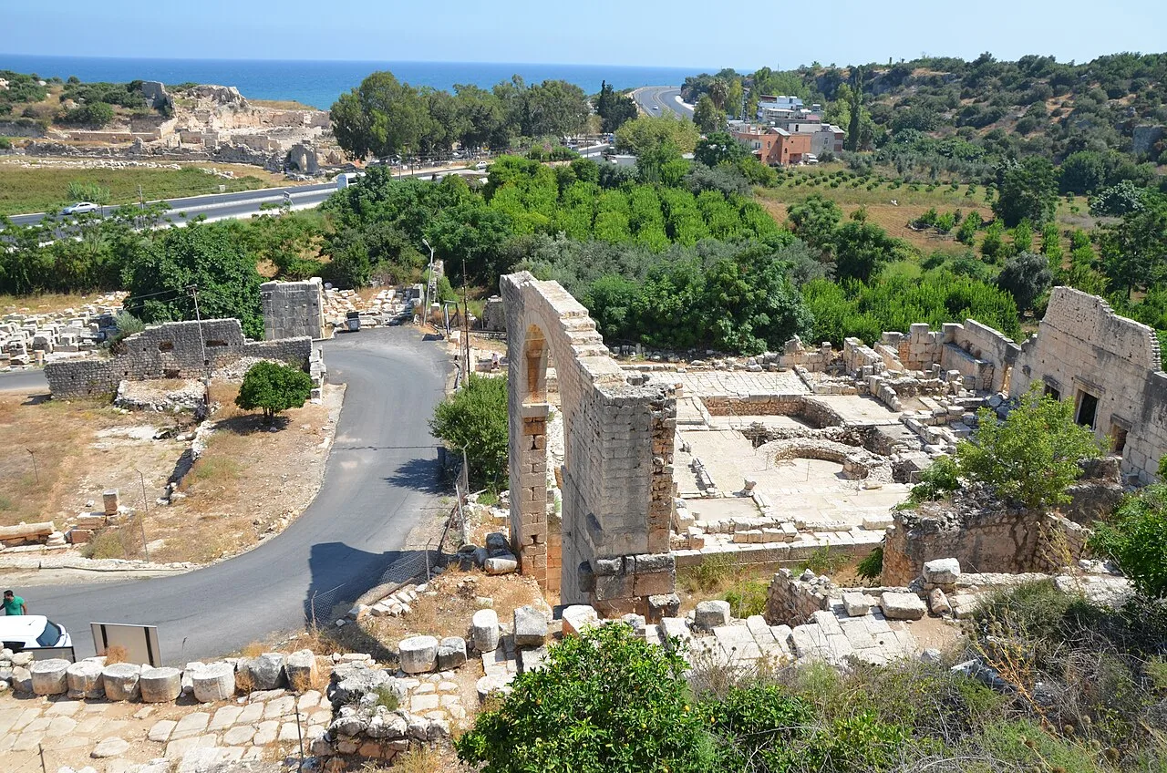 Historical Places
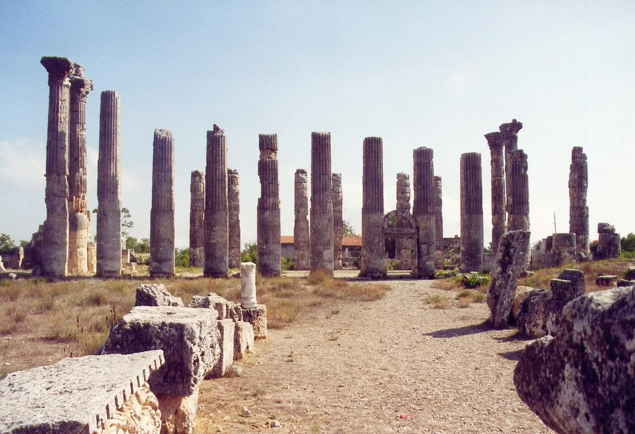 Historical Places
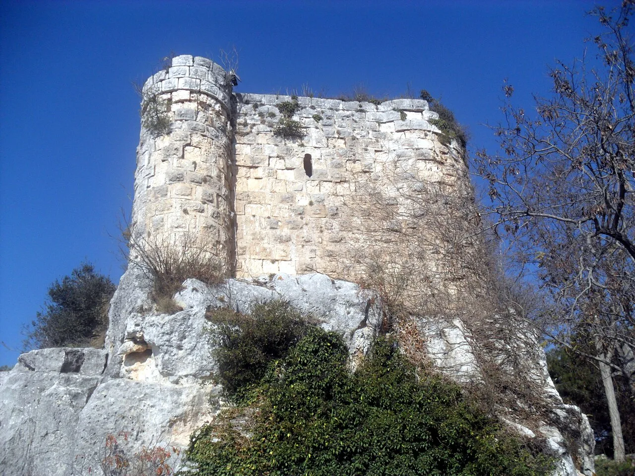 Historical Places
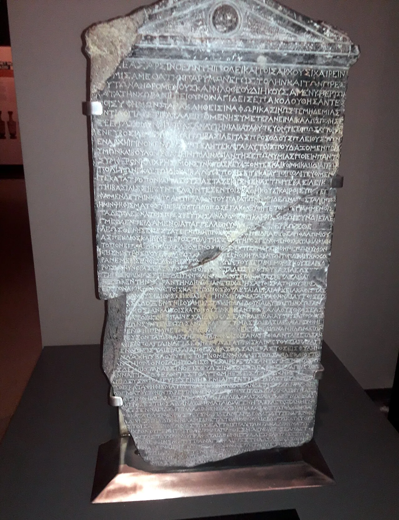 Historical Places
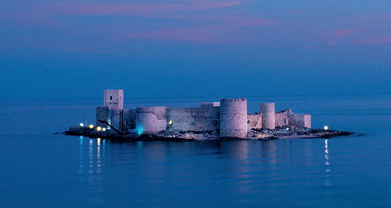 Historical Places
 Historical Places
Frequently Asked Questions
Quick Facts
- Province Mersin
- Category Historical Places
- Coordinates 36.50244, 33.55350
Request a Guided Tour
Visit Kilise Tepe with a licensed professional guide in Mersin.
See guides in Mersin