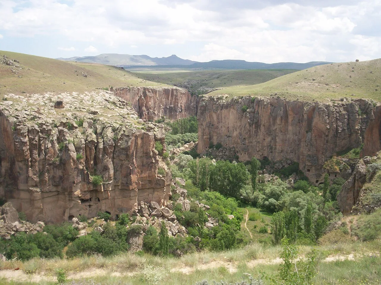
About Ihlara Valley
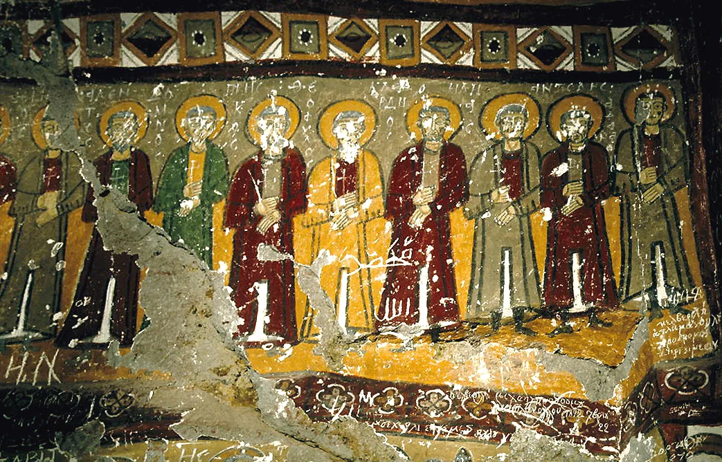
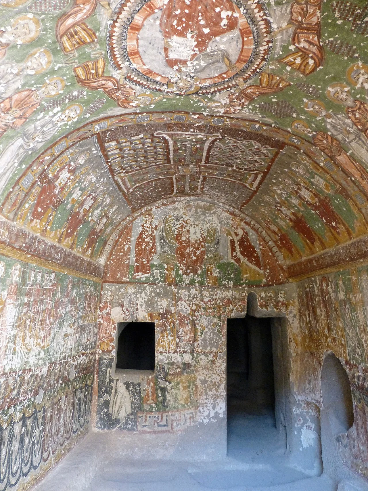
The Ihlara Valley (or Peristrema Valley; Turkish Ihlara Vadisi) is a canyon which is 15 km long and up to 150 m deep in the southwest of the Turkish region of Cappadocia, in the municipality of Güzelyurt, Aksaray Province. The valley contains around 50 rock-hewn Christian churches and numerous rock-cut buildings.
The earlier Greek name, Peristrema (Περιστρημα; winding round) of the village of Belisarma which is located about halfway along the valley from Ihlara to Selime, gave its name to the valley as well.
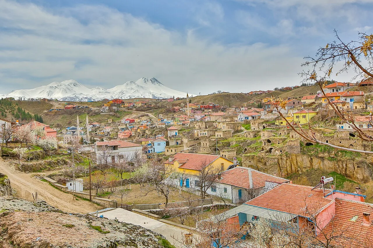
The canyon was formed in prehistoric times by the Melendiz River. It lies between the villages of Ihlara in the southeast and Selime in the northwest. At the north end of the village of Ihlara, there is a stairway with almost 400 steps, which descends over 100 m down into the canyon. From the 7th century AD, the valley was settled by Byzantine monks who dug their houses and churches out of the tuff stone, which had been deposited by the eruptions of Mount Hasan.
The Christian churches in the valley fall into two groups. The first consists of the churches near the village of Ihlara, which are decorated with paintings...
This description is taken from Wikipedia and published under the CC BY-SA 4.0 licence. Ihlara valley
Location and Access
Ihlara Valley is located in Aksaray. Coordinates are 38.25750, 34.29528. You can get directions from the map below. You can request a licensed local guide for Aksaray.
Places to Visit Near Ihlara Valley
 Religious Sites
 Religious Sites
 Religious Sites
Ağaçaltı Kilisesi
 Religious Sites
 Religious Sites
Kokar Kilise
 Religious Sites
Bahaddin Samanlığı Church
 Religious Sites
Bezirhane
 Historical Places
Ihlara
Historical Places in Aksaray
 Historical Places
Nyssa
 Historical Places
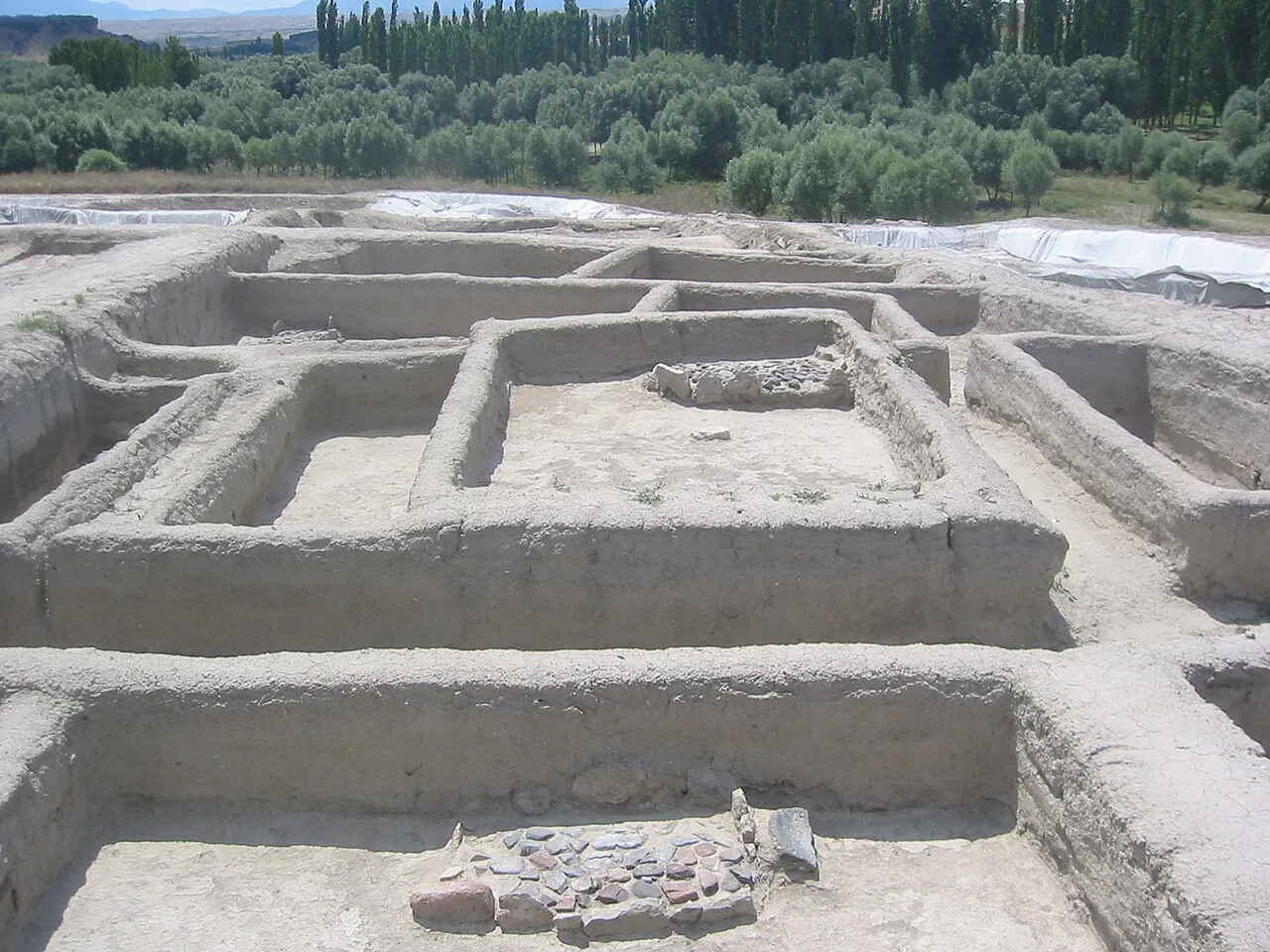
Aşıklı Höyük
 Historical Places
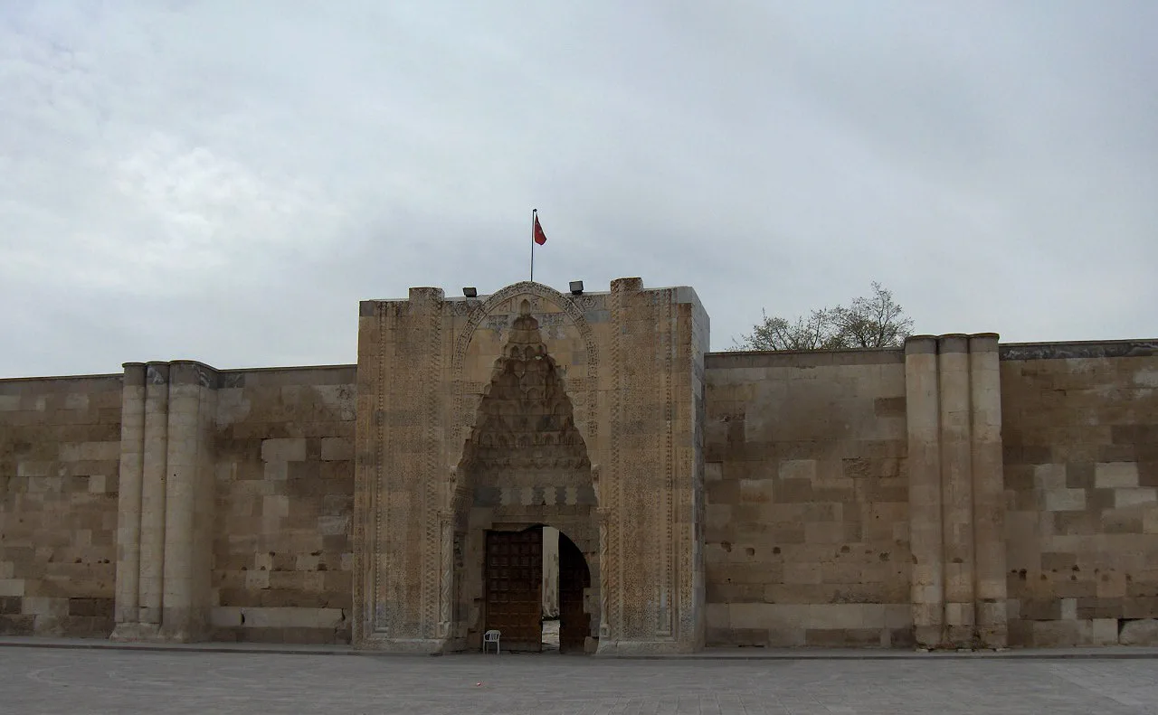
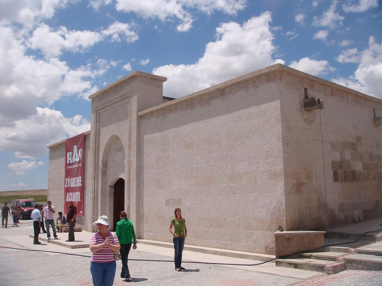
Sultan Han
 Historical Places
 Historical Places
 Historical Places
 Historical Places
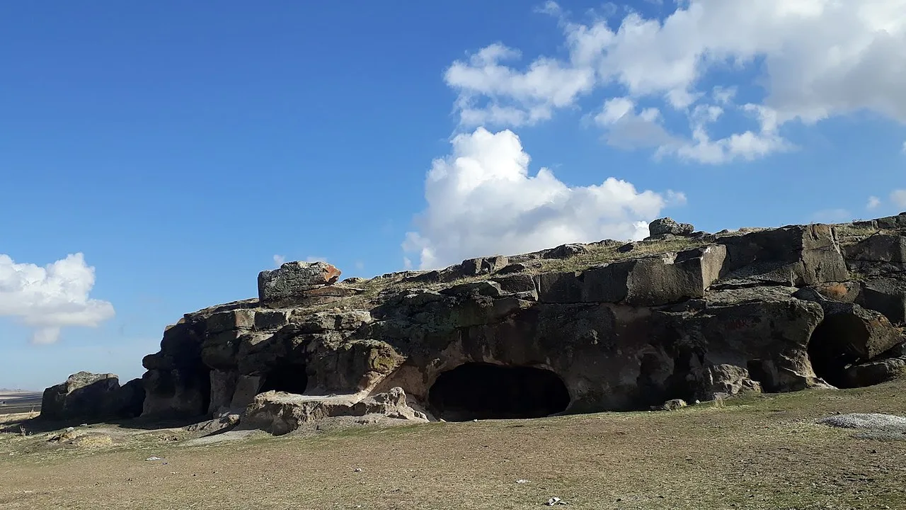
Ersele Underground City
 Historical Places
Frequently Asked Questions
Quick Facts
- Province Aksaray
- Category Historical Places
- Coordinates 38.25750, 34.29528
Request a Guided Tour
Visit Ihlara Valley with a licensed professional guide in Aksaray.
See guides in Aksaray